


5 Classic Colorado Backpack Trips
Colorado is a backpacker’s paradise. From an epic weeks-long journey on the Colorado Trail to a one-night jaunt in Pike National Forest with city lights twinkling in the distance, it’s easy to park, hike a few miles and find yourself lost from the crowds.
Here are five classic Colorado backpacking trips. Water is generally available on these trails near camping areas, but should always be filtered or treated.

The Maroon Bells is an alluring stop along the Four Pass Loop trail. Photo Credit: Debbie Gregory

The Maroon Bells is an alluring stop along the Four Pass Loop trail. Photo Credit: Debbie Gregory
The Four Pass Loop
Perhaps Colorado’s greatest short backpack trip.
The scenic splendor of the Elk Mountains and the Maroon Bells awaits hikers on this arduous but rewarding three- or four-day loop over four high mountain passes near Aspen. In early summer, be prepared for amazing wildflower displays and wet creek crossings.
Distance: 28 miles round-trip, 8,000 feet of elevation gain.
Getting there: In Aspen, take Maroon Creek Road to the overnight parking lot just below Maroon Lake, on the left side of the road. Access to this lot after 8:30 a.m. requires a stop at the entrance station on Maroon Creek Road for an overnight pass. Hike to Maroon Lake, where you must decide whether to do the loop clockwise or counter-clockwise.
Details: Get a free permit at the trailhead in the White River National Forest. Wilderness rules — no bicycles, size of groups limited to 10 people and 15 animals — apply.
Plenty of exploring awaits in Colorado’s Buffalo Peaks Wilderness.

Plenty of exploring awaits in Colorado’s Buffalo Peaks Wilderness.
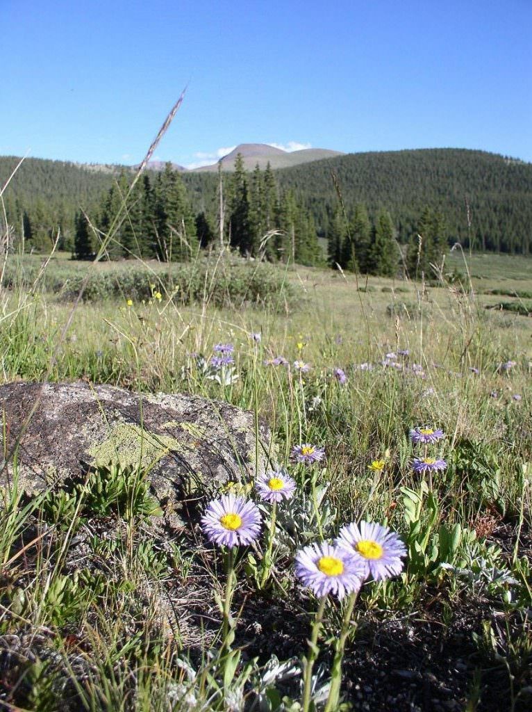
Buffalo Peaks Wilderness
Get away from the crowds for a two-day, one-night outing near Fairplay.
Compared with surrounding areas, few people visit this secluded region of rolling hills and broad meadows, dominated by the twin cones of the Buffalo Peaks. A great loop trail lets hikers see it without backtracking. The best campsites, with established fire rings, are in trees around Buffalo Meadows, the highest point of the hike.
Distance: 11 miles round-trip, 2,100 feet of elevation gain.
Getting there: From Colorado Springs/Woodland Park, take U.S. 24 to Hartsel. Turn right on Colorado 9 and drive 16 miles to U.S. 285. Turn left and drive 3.6 miles to County Road 5. Drive 7 miles, then veer right on Weston Pass Road. Drive 3 miles to a trailhead on the left. Most hikers go counter-clockwise, ascending the Rough and Tumbling Trail and descending the Rich Creek Trail.
Details: No permits required. Wilderness rules apply.
Crestone Needle (14,203 feet) towers over South Colony Basin in the Sangre de Cristo Mountains.

Crestone Needle (14,203 feet) towers over South Colony Basin in the Sangre de Cristo Mountains.
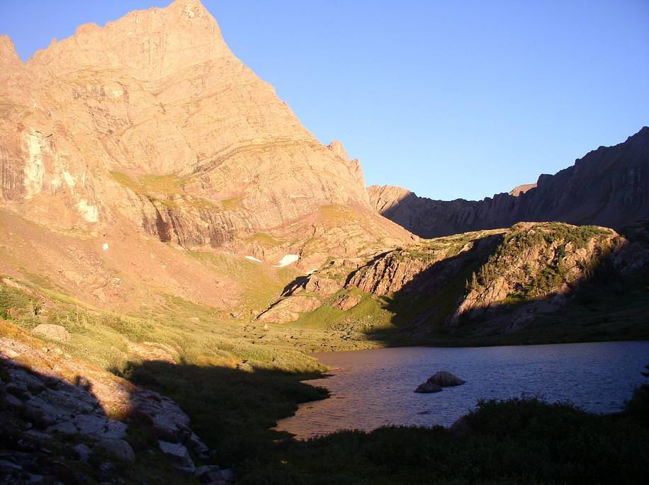
South Colony Lakes
For the peak-baggers among you.
This lovely alpine basin in the Sangre de Cristo Mountains is the main access point for four fourteeners: Humboldt, Crestone and Kit Carson peaks and Crestone Needle. It’s also extremely popular, with a road leading almost to timberline and scores of makeshift campsites. The U.S. Forest Service has closed South Colony Road 2.6 miles below the old parking lot. The next steps could be fees and camping permits, so respect your fellow hikers and campers and practice Leave No Trace principles.
Distance: 3.5 miles, 1,600 feet of elevation gain to camping area, varying distances to the summits.
Getting there: In Westcliffe, go south 4.5 miles on Colorado 69 and turn right on Colfax Lane. Where Colfax ends in 5.5 miles, turn right and go 1 mile on a dirt road, and continue straight through a junction to the two-wheel-drive trailhead. The upper trailhead, rough but reachable by most passenger cars, is 2.7 miles farther. Walk up the road beyond the closure to the old trailhead. Return via the same route.
Details: No permits required. No camping within 300 feet of the lakes. Wilderness rules apply in the upper basin. Car camping is available at the road closure.
Wheeler Geologic Area
Take a trip to the most bizarre rock formations you’ll find in Colorado.
Hidden in the La Garita range of the San Juan Mountains in southwest Colorado, in the Rio Grande National Forest, erosion has created a wonderland of rock pillars, shards and canyons to rival Utah’s Bryce Canyon National Park — minus the crowds. It’s a bone-jarring drive on a four-wheel-drive road or a long hike in to reach it.
Distance: To the geologic area, 7 miles one-way, 1,140 feet of elevation gain. Once you’re there, a 3-mile loop runs around the area. Take it clockwise and look for a couple of benches marking the best campsites. If weather is poor, go counter-clockwise instead and look for an old cabin.
Getting there: From South Fork, take Colorado 149 for 14 miles and turn right on Pool Table Road, a good dirt road. At 10 miles, park at the old sawmill and begin the hike. The road beyond is only for high-clearance, four-wheel-drive vehicles.
Details: No permits required. Don’t climb on the rocks, as they are loose and dangerous.
From the top of Windom Peak, one of three fourteeners in the Weminuche Wilderness, jagged peaks and spires spread in every direction.

From the top of Windom Peak, one of three fourteeners in the Weminuche Wilderness, jagged peaks and spires spread in every direction.
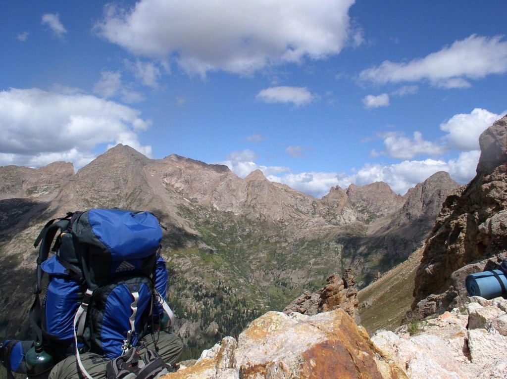
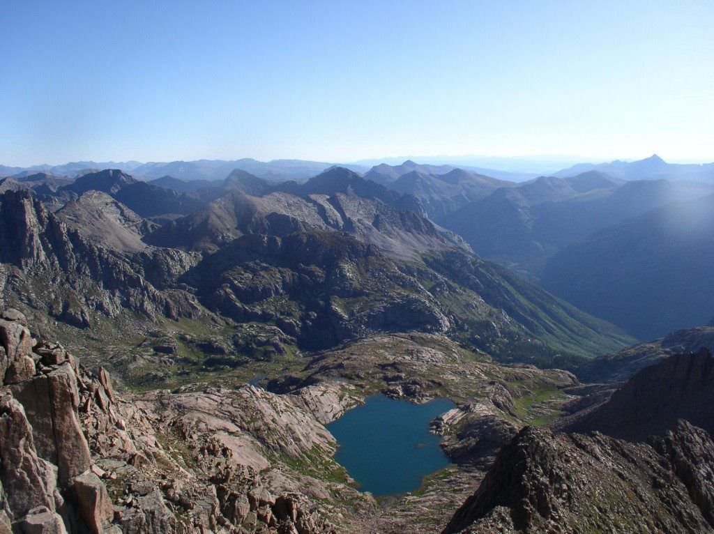
Weminuche Wilderness – Elk Park – Needleton loop
Take a train to some of Colorado’s most rugged and beautiful terrain.
The remote San Juans of southwest Colorado offer limitless backpacking opportunities, but none compares with the adventure of this gorgeous loop in the Weminuche Wilderness near Silverton. Get dropped off by the Durango-Silverton Narrow Gauge Railroad, spend five or six days enjoying some of the best mountain scenery Colorado has to offer, maybe climb a fourteener in Chicago Basin, and get picked up by the train at the end of the loop. This may be the quintessential Colorado experience.
Distance: 36 miles, 8,000 feet of elevation gain.
Getting there: Both the Elk Park and Needleton trailheads are reachable only by train from Durango or Silverton. Visit durango train.com for hours and pricing.
Details: No permits required. No campfires in Chicago Basin. Wilderness rules apply.

One of the best ways to access the Weminuche Wilderness Area is via the Durango & Silverton Narrow Gauge Railroad, which drops off and picks up hikers who buy a ticket.

One of the best ways to access the Weminuche Wilderness Area is via the Durango & Silverton Narrow Gauge Railroad, which drops off and picks up hikers who buy a ticket.
Get OutThere
Signup today for free and be the first to get notified on new updates.
PREV
PREVIOUS
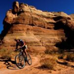
Fruita Continues to Grow as Mountain Biking Hub
Facebook Twitter WhatsApp SMS Email Print Copy article link Save Facebook Twitter WhatsApp SMS Email Print Copy article link Save FRUITA Five trails built in two years and more in the planning stages — this mountain biking paradise created by mountain bikers isn’t settling in the desert dust. The last time I visited, MoJoe’s wasn’t […]
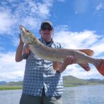
South Platte River Too Crowded? We’ve Got Your Fishing Alternative
Facebook Twitter WhatsApp SMS Email Print Copy article link Save Facebook Twitter WhatsApp SMS Email Print Copy article link Save It’s no secret that the South Platte River can get crowded. Especially in the fall. As the days grow shorter and the water temperature cools, the fishing becomes better. And with its proximity to Colorado […]