







Decker fire near Salida continues to grow, some evacuation orders lifted
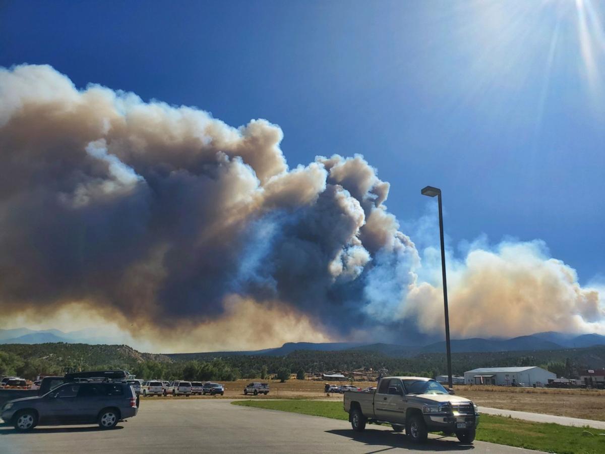
Gusty winds and dry conditions could send smoke plumes from the Decker fire skyward, unfurling embers across the Sangre de Cristo Wilderness, authorities say.
The 6,300-acre wildlife, which started from a lightning strike Sept. 8, grew another 160 acres by Monday morning and remained only 5% contained, according to a Rocky Mountain Incident Command news release. It’s now burning two miles south of Salida, a city of about 5,200 people in Chaffee County.
The National Interagency Coordination Center ranked the Decker fire No. 1 in its daily national situational report. The classification helps allocate resources, said Patrick Costin with the Incident Command team. As of Monday morning, 882 firefighters were assigned to the fire, the news release said.
If Monday’s weather permits, aerial crews will attack the fire from above, joining 23 hand crews, 28 engines, 3 dozers, 6 helicopters, 10 water tenders already battling the blaze, according to wildfiretoday.com.
The Red Cross said Monday that the evacuation center, at 210 E. Sacket Ave. in Salida, reopened Monday morning and will continue serving meals until 7 p.m. It will also be open Tuesday.
More smoke is likely in the area and authorities warned residents and drivers to drive slowly on the roads north of the fire, the release said.
The Colorado Department of Public Health and Environment issued an air quality health advisory for wildlife smoke Monday for southeastern Chaffee County, northwestern Fremont County and eastern Saguache County. The advisory was in effect until 9 a.m. Tuesday.
The fire’s rapid growth last week spurred county officials to order evacuations for several neighborhoods south of Salida.
According to the Chaffee Sheriff’s Office’s Facebook page, orders were lifted Sunday for residents living in the following areas:
– Fawn Ridge subdivisions
– County Roads 110, 111, 111a
– Mountain Vista Estates and those living above Mountain Vista Estates, accessed by County Road 104
– East of County Road 104, accessed from private drives south of U.S. 50 with the exception of residents living on County Road 101
The Rocky Mountain Incident Command team published an interactive map online for hunting information, forest closures and the fire’s perimeter.