







Colorado snow totals for Thursday, October 10, 2019
focusstock
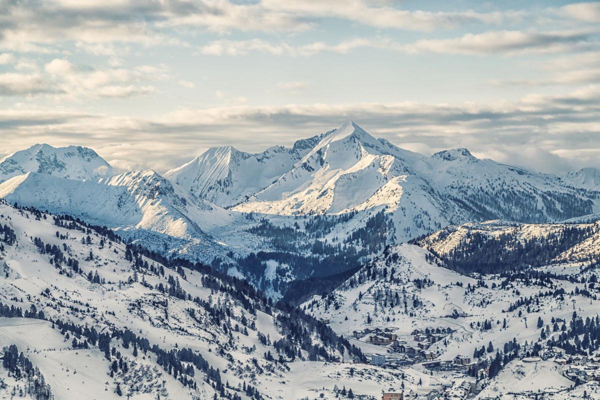
The first big snow of the season has officially arrived in Colorado.
A hazardous weather outlook issued for several parts of Colorado warns of heavy snow, strong winds, and cool temperatures. Light snow is expected to continue in the central mountains through Thursday, with lower elevations becoming dry sometime this afternoon.
A winter weather advisory will remain in effect until 9 p.m Thursday evening. Areas impacted include the mountains of Summit County, the Mosquito Range, Indian Peaks, Rocky Mountain National Park, the Medicine Bow Range, Grand and Summit Counties Below 9000 Feet, Rabbit Ears Pass and North Park. A freeze warning has been issued for northern areas of the county from 6 p.m. Thursday until 9 a.m. Friday.
Snowfall totals as of Thursday afternoon.
Black Forest – 2 inches
Boulder – 3.3 inches
Breckenridge – 6 inches
Crescent Village – 3.5 inches
Estes Park – 6.7 inches
Florissant – 2.7 inches
Fort Collins – 2 inches
Fountain – 1.5 inches
Golden – 3 inches
Kittredge – 3 inches
Loveland – 2 inches
Milner – 4.5 inches
Montrose – 1.7 inches
Pueblo West – 1.7 inches
Redstone – 3.2 inches
Steamboat Springs – 6.6 inches
Vail – 4.5 inches
Westminster – 2.2 inches
The first official snow of the season and bad roads led to hundreds of crashes and major delays and closures across the state. Nearly 500 flights have already been delayed with several cancellations, coming in and out of Denver International Airport.
Please be careful if you’re traveling out there today. The roads are extremely slick, especially in the Denver metro area. Slow down and drive carefully! For the latest road conditions, visit cotrip.org.