


Frigid February among the snowiest for Colorado Springs
Storm after storm is setting February 2020 apart as at least the eighth snowiest on record for Colorado Springs.
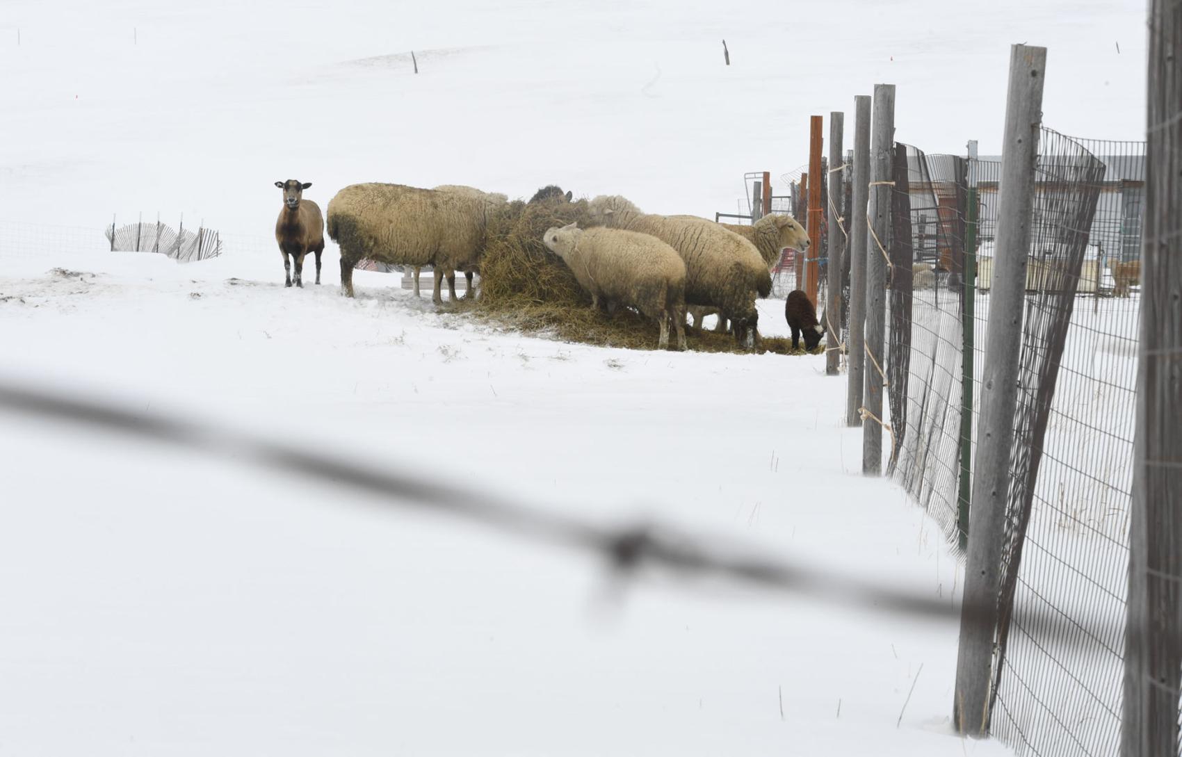
The town had received 12.9 inches of snow through Saturday making it the eighth snowiest February since 1894, said Mark Wankowski, meteorologist with the National Weather Service in Pueblo.
But there’s still time for February to move up in the rankings with five days to go, Sunday’s snow yet to tally and a storm in the forecast.
The seventh snowiest February for Colorado Springs was in 1913 when the town received 14.5 inches of snow. However, it seems unlikely the snows this month will break the all-time record set 1987 when 23.2 inches of snow fell.
February tends to be one of the driest months of the year for Colorado Springs and the break with the trend is helping to offset a dry January, Wankowski said.
“This precipitation in February is really helping to curb some of the drought conditions that have encroached,” he said.
Sunday brought 3 to 6 inches of snow to the western and northern portions of El Paso County, Wankowski said. East of town, the Colorado Springs Airport received about a tenth of an inch, he said.
Monday is predicted to get off to a sunny start followed by a cold front that will move in during the day, he said.
“We will see increasing clouds through the afternoon,” he said.
The clouds could bring scattered snow showers through the afternoon into the evening, he said. The cold weather will linger Tuesday amid winds up to 25 mph. The wind chill could push temperatures into the teens, he said.
Any snow showers Tuesday are expected to be light with a low chance of accumulation, he said.
But there will be plenty of cold.
The lows Tuesday night and Wednesday morning could reach single digits, Wankowski said. The National Weather Service website is calling for a low of 6 degrees.
Temperatures are expected to rise Wednesday through Saturday as daily highs reach the 40s Thursday and Friday and the low 50s on Saturday, according to the National Weather Service.
As the calendar rolls into March, temperatures could be colder than normal throughout the month, he said.
It’s hard to say if the wetter-than-normal trend might continue because the Climate Prediction Center is calling for equal chances of above, below and normal precipitation because of a “mixed-signal” in the atmosphere, Wankowski said.
However, March tends to be one of the snowiest months of the year for the Pikes Peak region, he said.
Get OutThere
Signup today for free and be the first to get notified on new updates.
PREV
PREVIOUS
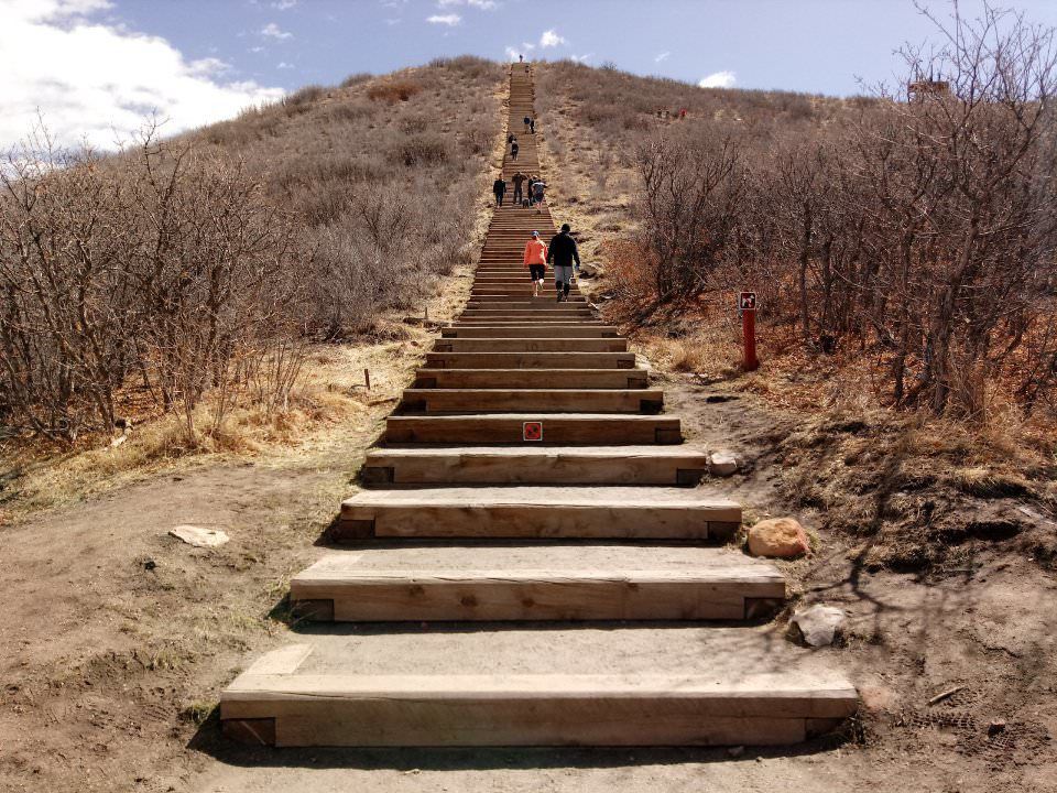
More than ‘mini Incline’ at park in Castle Rock
Out-of-towners know Castle Rock’s Philip S. Miller Park for the zip line. That tour ventures near the top of the park’s other well-known feature: the Challenge Hill, a miniature version of the world-famous Manitou Incline, the mountain-spanning set of railroad ties in Manitou Springs. Castle Rock residents, meanwhile, know Philip S. Miller Park for much […]
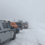
Mountain pass lanes, ski gondola closed amid whiteout conditions
Facebook Twitter WhatsApp SMS Email Print Copy article link Save Facebook Twitter WhatsApp SMS Email Print Copy article link Save UPDATE: I-70 lanes have reopened at Vail Pass I-70 eastbound remains CLOSED Unsafe driving conditions creating a the safety closure at Vail. #cowx #cotraffic pic.twitter.com/mBnOkCKD8k — CSP Eagle (@CSP_Eagle) February 24, 2020 BREAKING UPDATE: A […]