




See alpine lakes, wildflowers, and more on the climb up Humboldt Peak
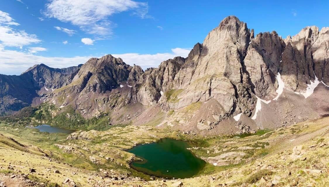
If you’re into bagging 14,000-foot summits across Colorado, climbing Humboldt Peak should be added to your summit bucket list.
Humboldt Peak, the 37th highest mountain in the state, can be found in the Sangre de Cristo Range. The steep and long route to the 14,064-foot summit can be backpacked over multiple days or hiked in one single-day trek.
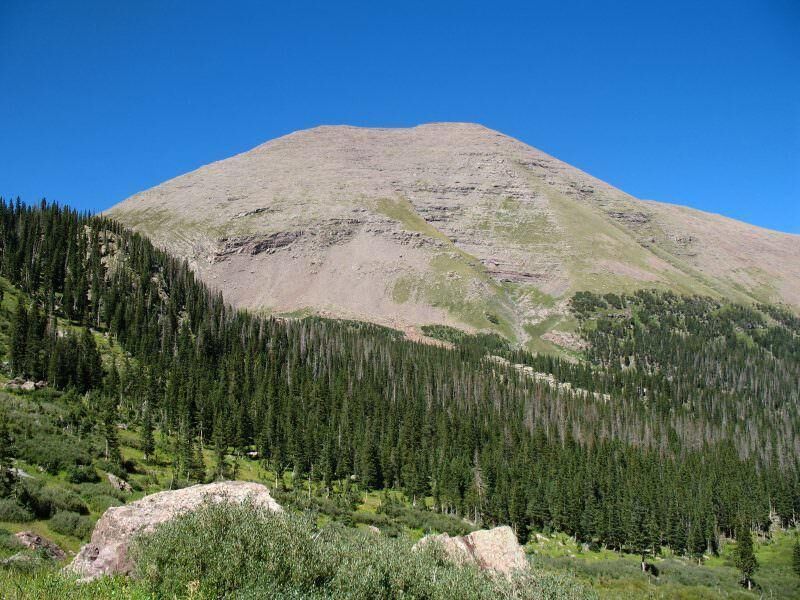
Photo Credit: Meniscus.

Photo Credit: Meniscus.
Humboldt Peak is located in the south-central corner of the state, about 12 miles from the tiny town of Westcliffe, Colorado. There are several trailheads that will take you to the 14,064-foot summit, but the most route popular is the class two climb up the western ridge from South Colony Lakes.
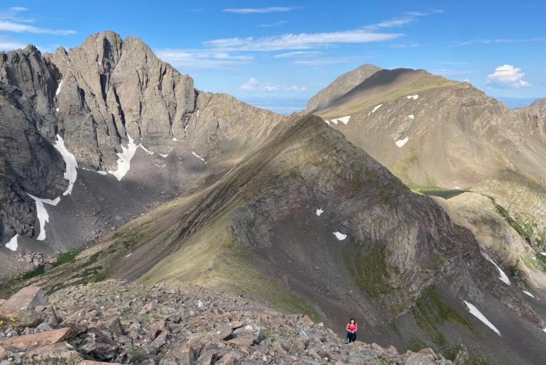
Photo Credit: Breanna Sneeringer, OutThere Colorado.

Photo Credit: Breanna Sneeringer, OutThere Colorado.
The 14er was named after Alexander von Humboldt, a famed German geographer and explorer in the early 1800s.
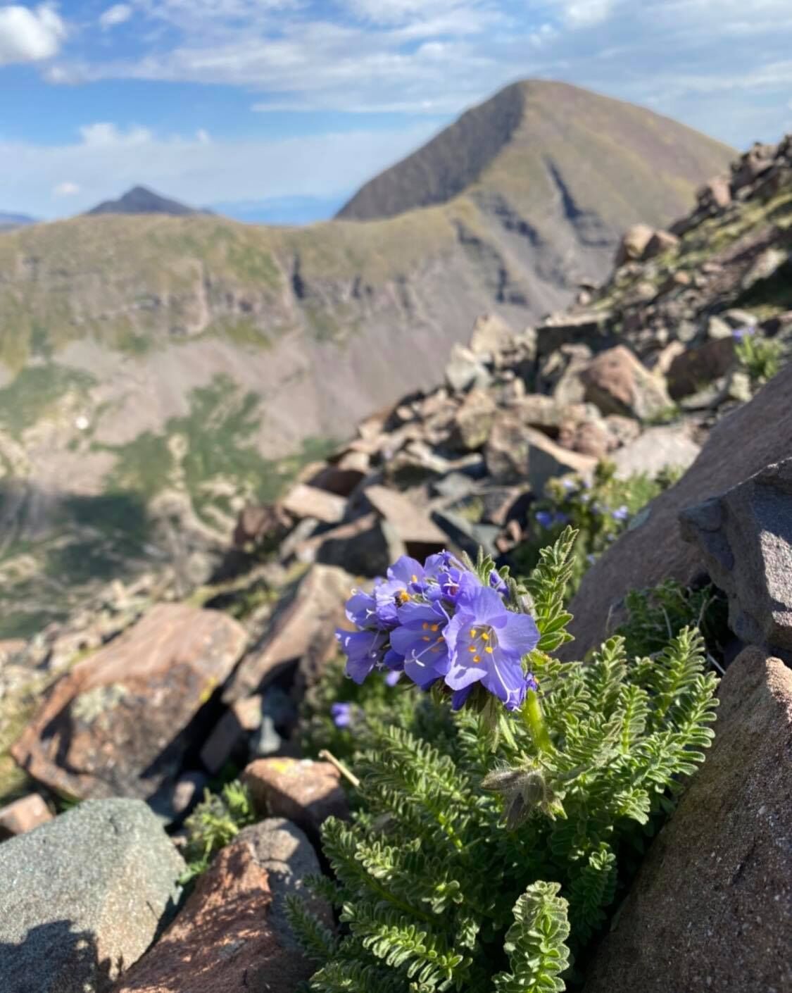
Photo Credit: Breanna Sneeringer, OutThere Colorado.

Photo Credit: Breanna Sneeringer, OutThere Colorado.
The hike to the summit is an 11.5-mile round-trip hike with 4,200 feet of elevation gain, taking most hikers 7 to 10 hours to complete in favorable conditions. Getting to the upper trailhead does require a high-clearance 4WD vehicle. If you can’t make the 4WD trailhead, plan to add an additional six miles to your hike for roughly 17 miles total
Thanks to the lush nature of the terrain, many wildflowers can be found flanking the trail. Take pictures, but do not pick, trample, or destroy any of them. Be sure to keep them blooming for others to enjoy!
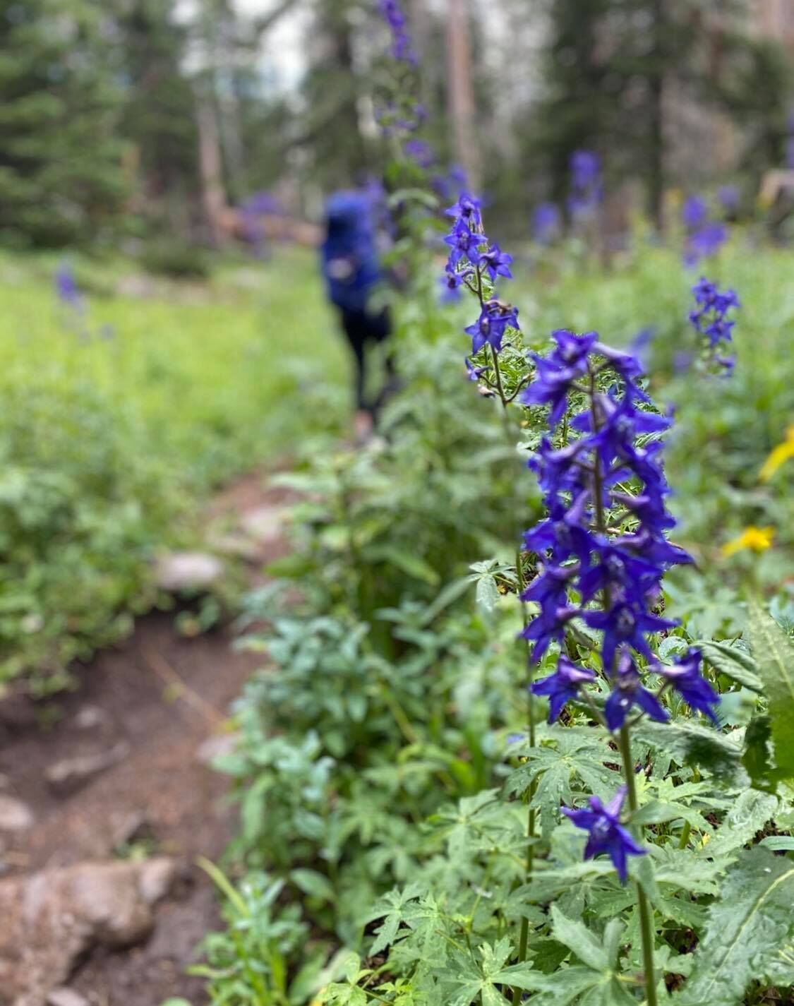
Photo Credit: Breanna Sneeringer, OutThere Colorado.

Photo Credit: Breanna Sneeringer, OutThere Colorado.
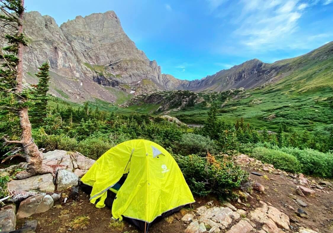
Photo Credit: Breanna Sneeringer, OutThere Colorado.

Photo Credit: Breanna Sneeringer, OutThere Colorado.
Whether you’re hiking or backpacking the 14er, Humboldt Peak offers an unforgettable summer adventure. At lower South Colony Lake, tents dot the landscape in a rainbow of color surrounded by fourteeners including the Crestone Needle, Crestone Peak, Kit Carson Peak, and Humboldt Peak. Adding to the spectacular basin, there are also a few nearby 13ers including Broken Hand Peak and Marble Mountain.
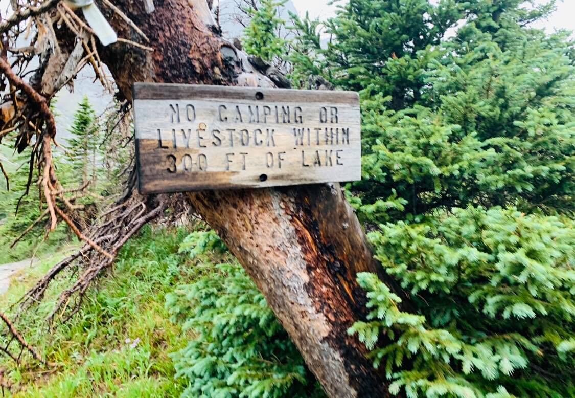

Keep an eye out for bighorn sheep often spotted lounging around the high country shores.

Photo Credit: Mark Reis, Special to The Gazette.

Photo Credit: Mark Reis, Special to The Gazette.
Once hikers reach the final approach to the South Colony Lakes, a well-marked trail that’s on the right side of a signed fork provides the easiest path to the summit. At this point, hikers begin a rocky ascent up Humboldt Peak. This is where the rapid elevation via switchbacks will soon start.
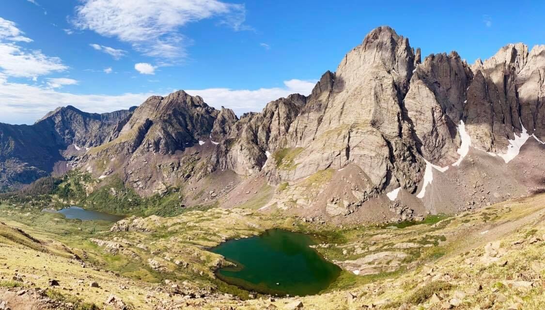
Photo Credit: Ashley Bennett.

Photo Credit: Ashley Bennett.
There’s a short section of scrambling before reaching a false summit. From here continue along the small rocky ridge leading to the actual summit of Humboldt Peak.
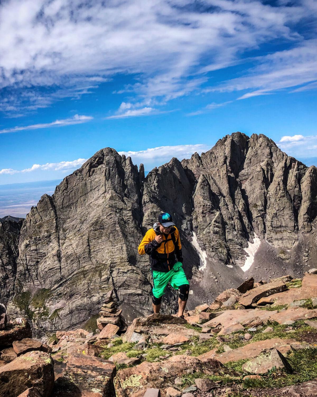
Spencer McKee of Outthere Colorado in front of Crestone Needle (left) and Crestone Peak (right).

Spencer McKee of Outthere Colorado in front of Crestone Needle (left) and Crestone Peak (right).
The class two route up Humboldt is considered much easier to climb than routes up neighboring fourteeners, including Crestone Needle, Crestone Peak, Kit Carson Peak, and Challenger Point. These fourteeners are generally more challenging to summit for a number of reasons including technical terrain, exposure, rockfall hazards, and difficult route-finding.
Editor’s Note: If you choose to explore this peak or any other natural area in the state, please do so responsibly. Stay on the trail, LEAVE NO TRACE, and pack out all your trash. It’s also important to note that camping is prohibited within 300 feet of all the lakes.
Get OutThere
Signup today for free and be the first to get notified on new updates.
PREV
PREVIOUS
Striking fourteener a rewarding climb filled with picturesque 'Colorado' views
Facebook Twitter WhatsApp SMS Email Print Copy article link Save Facebook Twitter WhatsApp SMS Email Print Copy article link Save Perhaps one of the more striking fourteeners in the state of Colorado, the climb to the summit of 14,005-foot tall Mount of the Holy Cross provides a rewarding challenge amid a stunning natural landscape. The […]
San Juan’s Ice Lake Basin an enchanting alpine tundra
Facebook Twitter WhatsApp SMS Email Print Copy article link Save Facebook Twitter WhatsApp SMS Email Print Copy article link Save Ice Lake Trail is a portal to an enchanting alpine basin in Colorado’s southwestern San Juan Mountains, about six hours from Colorado Springs. A seasoned explorer in Colorado knows their options when it comes to […]