


Blizzard warnings activated, with up to 17 inches of snow headed to Colorado
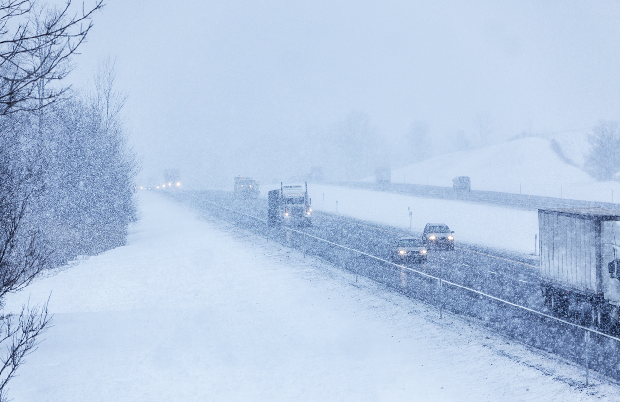
Multiple blizzard warnings have been issued in parts of Colorado as another wave of wintery weather starts to hit the state. Though the warnings have activated in the southeastern corner of Colorado, this storm will likely bring widespread snow.
One blizzard warning has been activated in Eastern Las Animas County from 6 PM on Tuesday until noon on Wednesday, predicting up to seven inches of snow and 65 mile-per-hour wind. A second blizzard warning has been activated in Baca County, calling for up to four inches of snow and similar wind speeds.
According to the National Weather Service, travel in the area is expected to be “difficult to impossible” due to blowing snow severely limiting visibility. Highway 160 is expected to be particularly problematic. Power outages are possible.
The storm that’s rolling in is expected to drop up to 17 inches, according to the National Weather Service, resulting in various winter storm warnings and advisories in much of the southern portion of the state.
The La Veta Pass area is expected to be one of the hardest hit spots, with 17 inches of snow in the forecast. Trinidad and Walsenburg could each get up to 10 inches, while Beulah and Rye could see a foot. Up to six inches of snow is expected in Salida and up to 6 inches of snow is expected on Wolf Creek Pass. Light accumulation will likely be seen elsewhere in the state.
Find the most up-to-date information about this storm on the National Weather Service website.
Get OutThere
Signup today for free and be the first to get notified on new updates.
PREV
PREVIOUS
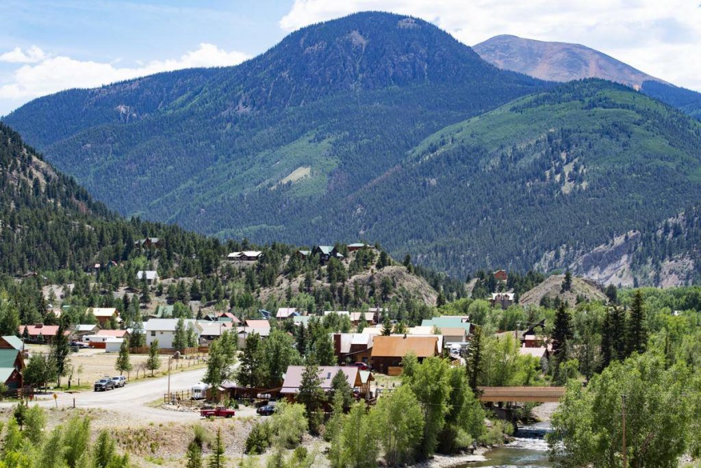
'Most remote town in the lower 48' a great spot for a Colorado adventure
Lake City might call itself the most remote town in the lower 48 states of the United States, but that’s what makes it the perfect base camp for outdoor recreation adventures in Colorado. Here’s an overview of what Lake City has to offer.

Parts of Wyoming, Colorado, still snarled by record blizzard
CHEYENNE, Wyo. (AP) — Schools in eastern Wyoming and northern Colorado remained closed Tuesday for a second day and roads were still impassable in the aftermath of a blizzard that pummeled the region with record snowfall. Crews didn’t expect to reopen some highways for another day, though a portion of Interstate 25 reopened south of […]