


More than a foot of snow predicted in Winter Storm Warning for parts of Colorado

It seems “April Fools” came a bit early in Colorado as spring-like weather appears to have arrived Saturday, but the National Weather Service issued a Winter Storm Warning Saturday afternoon for more wintry storms throughout the state in coming days.
A storm system will move across Colorado Sunday and Monday with snow returning to the mountains overnight Saturday, then spreading over the plains from Sunday afternoon and through Monday.
The heaviest snow will fall in the mountains late Sunday, then the heaviest snow over the adjacent plains and Palmer Divide is forecast to fall overnight Sunday.
Areas of northern Colorado could get up to 15 inches of snow by late Sunday as a cold front moves in. The winter storm warning issued by the National Weather Service said heavy snow is expected, bringing total snow accumulations ranging from 5 to 15 inches in Rocky Mountain National Park, Medicine Bow Range, mountains of Summit County, Mosquito Range, the Indian Peaks, and southern Front Range foothills.
Travel through mountain corridors of these areas are likely to be difficult during and after the storm, such as along Interstate 70.
NEWSLETTER: Sign-up for daily headlines from OutThere Colorado here
Douglas and Elbert counties are expected to also see heavy amounts of snow Sunday and Monday. Accumulations are forecast between 4 and 12 inches of snow, the weather service said.
Temperatures Saturday afternoon hovered around 62 degrees in Denver, 55 degrees in Boulder, and 69 degrees in Colorado Springs, according to the National Weather Service.
Get OutThere
Signup today for free and be the first to get notified on new updates.
PREV
PREVIOUS

Who's who at Cheyenne Mountain Zoo | Tale of 2 grizzlies
This is a tale of two grizzlies. Digger and Emmett are the 700-pound-plus inhabitants of the Rocky Mountain Wild exhibit at Cheyenne Mountain Zoo. Both had been labeled nuisance bears after one too many incidents involving humans and food in Montana. So the 16-year-olds, who aren’t related, have called Colorado Springs home since 2007. Their […]
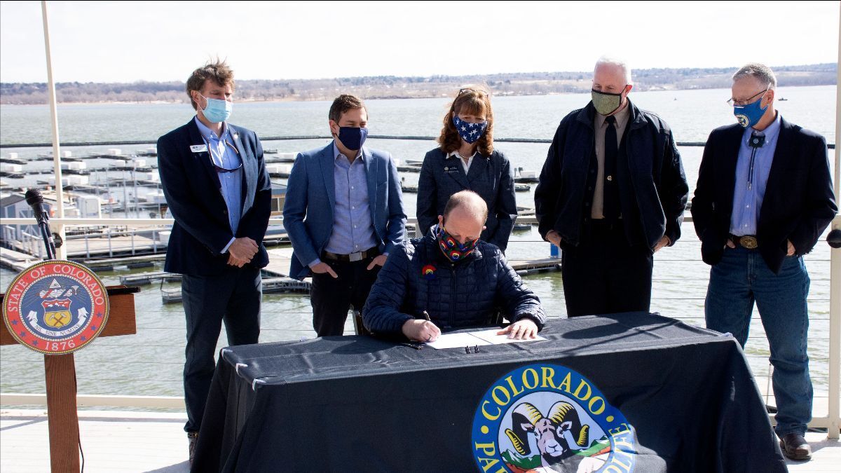
Legislature steers $20 million into 12 state parks
Gov. Jared Polis and a contingency of state officials gathered at the marina at Cherry Creek State Park on Sunday morning to hail new legislation to steer $20 million from the state operating budget to state parks next year. The windfall is expected to accelerate development of Fishers Peak State Park, so declared by Polis […]