


20-plus inches of snow possible as two more waves of snow head to Colorado

After weekend snow dropped more than a foot of accumulation in parts of Colorado (looking at you, Winter Park), more snow is on the way.
According to the National Weather Service, an additional three to seven inches will fall in parts of the Sangre de Cristo Mountains and the southern I-25 corridor throughout the day on Monday, with light accumulations elsewhere in parts of Colorado from the Denver metro area to the southern border.
This is expected to be followed by two more waves of snow throughout the week, with the first to hit from Tuesday to Wednesday and a second wave that’s expected from Thursday afternoon into Saturday. Both waves will bring relatively widespread snow, though they will favor different areas.
While the National Weather Service hasn’t said much in regard to the expected accumulation of the upcoming waves, OpenSnow has made their prediction.
Meteorologist Joel Gratz has stated that he expects three to six-plus inches of snow in favored areas during the first wave, with spots like Wolf Creek, Monarch Mountain (Salida), and Eldora likely to see the highest totals. The southern I-25 corridor is also in the area where higher totals are expected.
The second wave of snow, set to hit Thursday through Saturday, will likely be a bit more widespread in Colorado’s mountains, favoring the southwest. During this snowfall, the Wolf Creek area could see more than a foot, for an expected total of 22 inches over the next five days (See forecast maps and resort-specific predictions on the OpenSnow.com website).
Big snow is also predicted on Colorado’s only pay-for fourteener, according to Mountain-Forecast.com, with more than 20 inches of snow expected on Culebra Peak near the New Mexico border through the end of the week.
Stay up-to-date with the most current Colorado forecasts on the National Weather Service website and on OpenSnow.com.
Get OutThere
Signup today for free and be the first to get notified on new updates.
PREV
PREVIOUS
Gov. Jared Polis signs bills into law on resources for wildfire suppression and mitigation
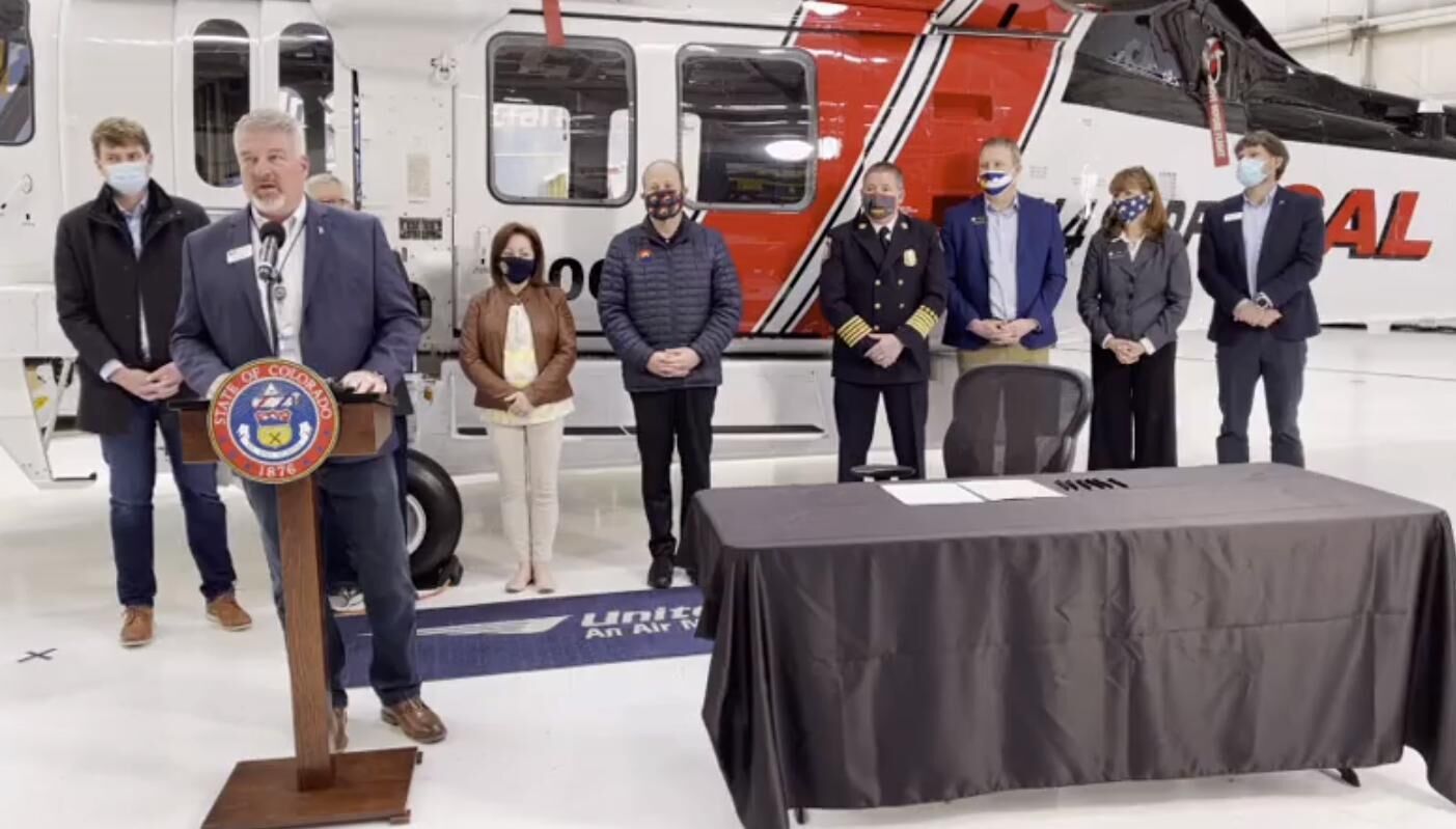
Gov. Jared Polis on Sunday traveled out to Centennial Airport to sign into law a bill that will allow the state to purchase a $24 million helicopter specially equipped to fight some of the state’s biggest wildfires. The Firehawk helicopter is a conversion of a Blackhawk helicopter, with the conversion to be done by United Rotorcraft, […]

Colorado moving to relax mask mandate, capacity limits
DENVER (AP) — Colorado’s health department is moving to relax its statewide mask mandate and limits on gathering capacity, saying the state’s role in determining COVID-19 restrictions will lessen in favor of more local control as vaccination eligibility opens more widely. The proposal announced Friday would allow local authorities and “private entities” in the counties […]