







Flash flood watch issued for Denver, foothills, I-25 corridor
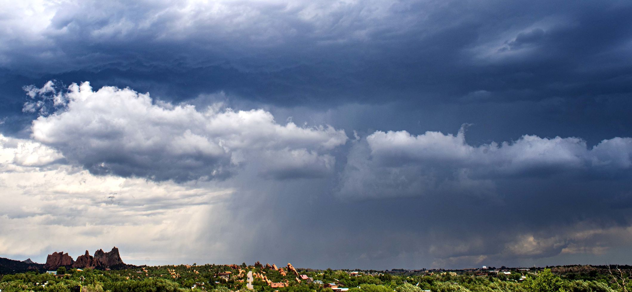
A flash flood watch was issued Thursday morning for Denver, the foothills and most of the Interstate 25 corridor, the National Weather Service in Boulder said.
The watch was issued because of an elevated risk for floods because of slow-moving thunderstorms with heavy rain.
The watch includes Fort Collins, Denver, Colorado Springs and Pueblo, and the adjacent foothills.
The storms, being pushed in by a strong monsoon flow, are unlikely to be intense and could saturate the region to cause flooding. Small hail and strong wind gusts are also possible.
The watch is in effect through late Thursday night.
Weather officials said they were concerned for the Calwood and Cameron Peak burn scar areas from late Thursday morning into the evening.

Flash flood watch issued for Denver, foothills, I-25 corridor

A flash flood watch was issued Thursday morning for Denver, the foothills and most of the Interstate 25 corridor, the National Weather Service in Boulder said.
The watch was issued because of an elevated risk for floods because of slow-moving thunderstorms with heavy rain.
The watch includes Fort Collins, Denver, Colorado Springs and Pueblo, and the adjacent foothills.
The storms, being pushed in by a strong monsoon flow, are unlikely to be intense and could saturate the region to cause flooding. Small hail and strong wind gusts are also possible.
The watch is in effect through late Thursday night.
Weather officials said they were concerned for the Calwood and Cameron Peak burn scar areas from late Thursday morning into the evening.