




Flash flood watch issued for I-25 corridor, Front Range
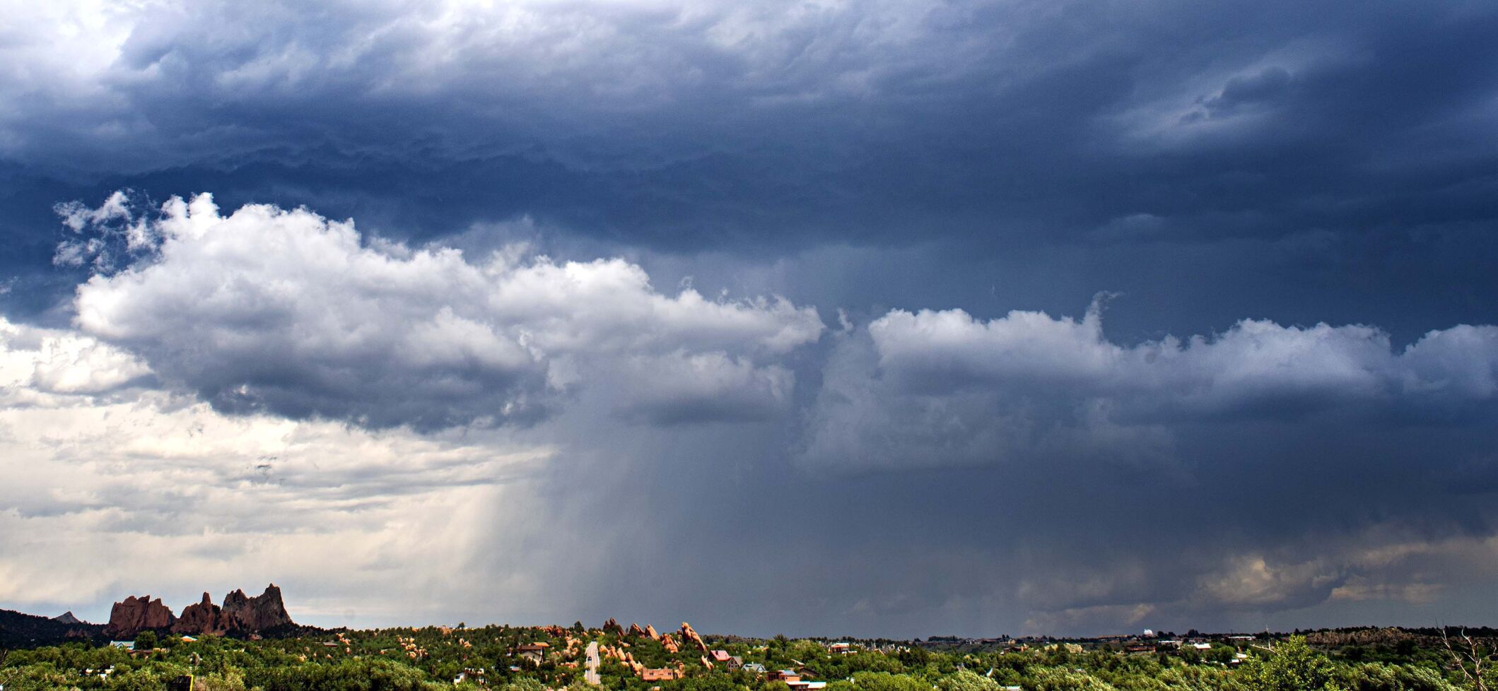
The National Weather Service Thursday morning issued a flash flood watch for El Paso, Teller and Pueblo counties and much of the Interstate 25 corridor.
Forecasters issued the watch to heighten awareness about an elevated risk for floods due to “slow-moving thunderstorms with heavy rain that could potentially lead to flash flooding along part of the I-25 corridor,” said Stephen Rodriguez, a National Weather Service meteorologist based in Pueblo.
The slow-moving storms are unlikely to be intense, but they could saturate the region with enough water to cause flooding. Small hail and strong wind gusts are also possible.
Burn scars along the Pikes Peak region are particularly at-risk for flash floods because they do not absorb water well, a characteristic that also makes them more prone to mudslides like the ones that closed parts of Interstate 70 earlier this week.
Get OutThere
Signup today for free and be the first to get notified on new updates.
PREV
PREVIOUS

Denver officials have tips to keep pets safe this Fourth of July weekend
With the Fourth of July approaching, many Denverites and local residents are eager to celebrate with family, friends, food and of course, fireworks. Fireworks will light up the sky across the metro, in the streets and on driveways, which can scare our four-legged companions, and as a result, officials from Denver Animal Protection have several […]
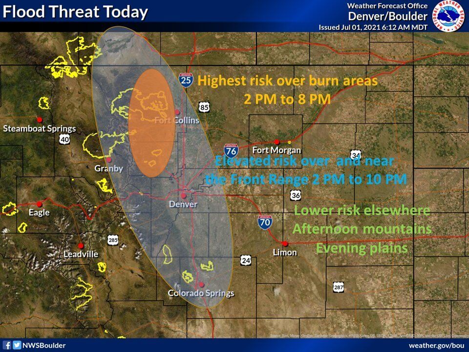
Up to three inches of rain expected to fall within two hours in Colorado
Those on Colorado’s Front Range should be ready for some serious weather that could roll through on Thursday and Friday. The National Weather Service is calling for severe slow-moving thunderstorms to bring monsoon rains, issuing a flood watch from Colorado’s northern border to its southern border. The flood watch runs along the I-25 corridor, stretching out […]