


Redistricting commissions’ maps ripped in Arvada
Evan Wyloge, The Gazette
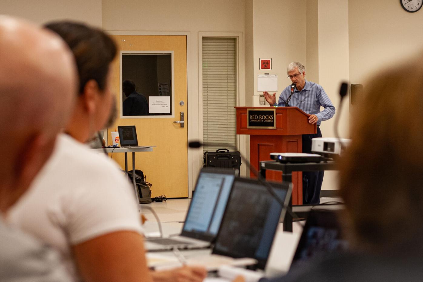
Colorado’s independent redistricting commissioners got an earful Tuesday night in Arvada — from the biggest crowd yet at a public input hearing — about the preliminary draft maps unveiled in June.
It was the first public input hearing in a metro area, after the first three, held over the weekend in rural, eastern parts of the state.
The purpose of the public input hearings that will be held across the state in the coming weeks is to get input from the public on the preliminary draft congressional and legislative maps.

After the map roadshow, the state constitution requires the independent congressional and legislative redistricting commissions to adjust the draft maps, based on the public input, balanced with the various redistricting requirements like equal population, contiguity and compliance with the Voting Rights Act of 1965, respecting communities of interest, political subdivisions and geographic divisions and promoting competitiveness where possible.
The clear message from the public speakers at the Arvada hearing: Keep Jefferson County whole when it comes to the congressional map, and keep Arvada whole when it comes to the statehouse districts.
Speaker after speaker hammered the idea that Jefferson County, where Arvada is located, needs to be undivided for a variety of reasons, including the single school district, public health and public safety agencies, unifying industries and intergovernmental cooperation.
The preliminary draft congressional map splits Jefferson County, with Arvada, in the northwestern part of the county, drawn into the preliminary draft map’s Congressional District 8, which is designed to empower the northern Denver metro area, with an emphasis on the growing Hispanic community there.
The preliminary draft map also combines the remaining part of Jefferson County with northwestern parts of Douglas County. That combination also rubs many the wrong way, with attendants commenting on the differences between the two counties’ population. They argued that Douglas County is more aligned with the rural parts of the state, whereas Jefferson County is suburban, with areas extending into the front range mountain areas.
The preliminary draft legislative maps would split Arvada into two state senate districts, and three state house districts, which several attendants also lamented at the meeting.
The commission will next meet Wednesday at 7 p.m. at the state Capitol, to again gather public input on the preliminary draft maps.
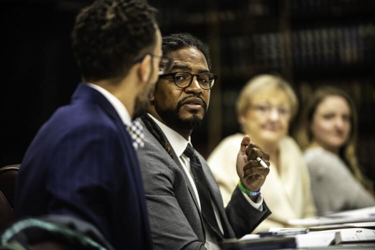
Aurora City Council Q&A: decorum on the dais
Kyla Pearce
kyla-pearce@denvergazette.com
Updated 22 hours ago
In November’s election, Aurora voters flipped what was previously a seven-to-three conservative majority on the City Council to a six-to-four progressive majority. With the significant shift of the council’s political leaning could come policy changes and reversals. The Denver Gazette...
Kyla Pearce
Reporter
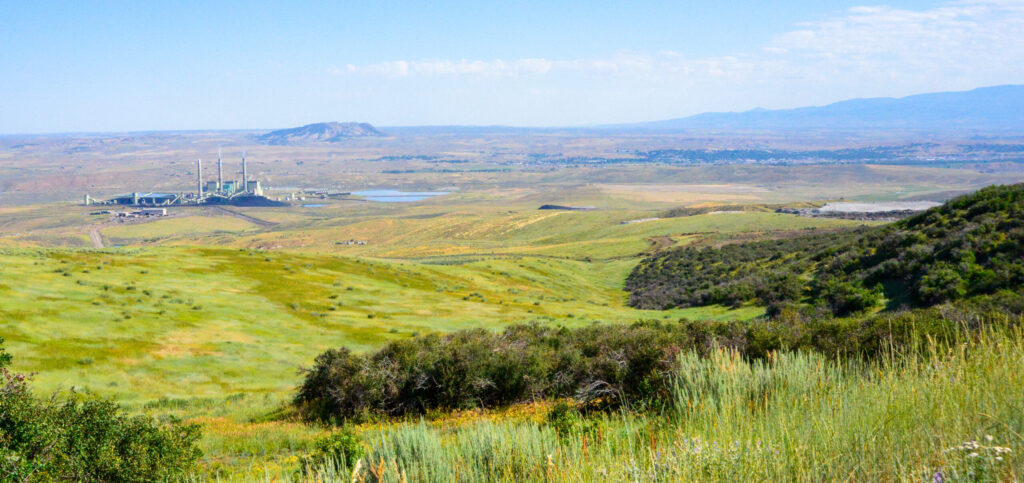
EPA rejects Colorado’s plan to tie coal plant shutdowns to cleaner skies
Scott Weiser
scott-weiser@denvergazette.com
Updated 8 hours ago
Federal air quality regulators on Friday rejected Colorado’s latest haze-reduction plan, saying the state wrongly tried to force coal-fired power plants to close early as part of efforts to clear up views in national parks and wilderness areas. The U.S....
Scott Weiser
Reporter
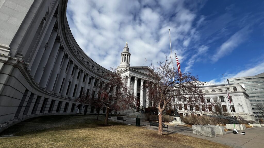
Denver City Council to revisit vote on emergency shelter funding
Deborah Grigsby
deborah.smith@denvergazette.com
Updated 22 hours ago
The Denver City Council will have a light agenda on Monday. Meetings will continue in the Parr-Weidner Community Room while renovations progress in the council chambers. Returning to the council from the Community Planning and Housing Committee is a resolution...
Deborah Grigsby
Reporter
Denver Auditor: Office of Social Equity and Innovation risks mismanaging or losing taxpayer money
Deborah Grigsby
deborah.smith@denvergazette.com
Updated 22 hours ago
Denver’s Office of Social Equity and Innovation has yet to implement half of the 14 recommendations made by auditors in 2024, leaving the city and the Colorado Youth Detention Continuum Program at risk of misusing small-dollar funds. A follow-up report...
Deborah Grigsby
Reporter
New Aurora councilmembers to host meetings about creating civilian oversight of police
Kyla Pearce
kyla-pearce@denvergazette.com
Updated 22 hours ago
Two of Aurora’s new councilmembers plan to hold listening sessions with community members to talk about establishing an independent civilian oversight committee for Aurora police. Gianina Horton and Amy Wiles, who were both elected to the Aurora City Council in...
Kyla Pearce
Reporter

House rejects effort to override presidential veto for Colorado Water Project
Marianne Goodland
marianne-goodland@denvergazette.com
Updated 1 day ago
The U.S. House of Representatives on Thursday rejected a Colorado-led effort to override a Dec. 30 presidential veto of a measure that would have helped finance the Arkansas Valley conduit. The measure, known as H.R. 131 and sponsored by U.S....
Marianne Goodland
Reporter

Denver may revise animal bite penalties to consider criminal intent
Deborah Grigsby
deborah.smith@denvergazette.com
Updated 1 day ago
Denver pet owners are responsible for bites and injuries caused by their animals, facing both civil penalties and criminal charges of up to $999 and 300 days in jail. However, some city officials have suggested that the city consider revisions...
Deborah Grigsby
Reporter
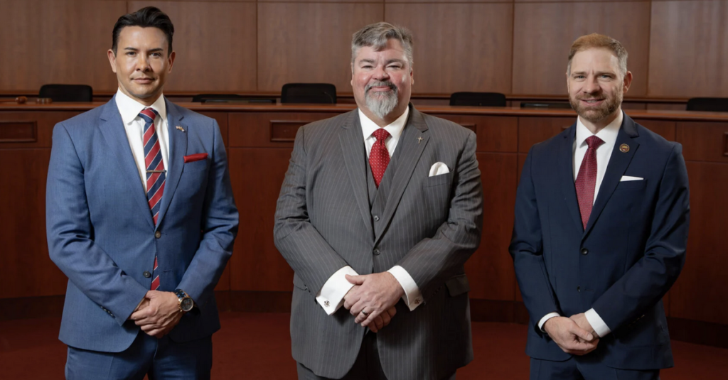
Douglas County commissioners ponder revisiting ‘home rule’ proposal after last year’s failure
Noah Festenstein
noah-festenstein@denvergazette.com
Updated 2 days ago
The future of Douglas County chasing “home rule” status may not be in the hands of commissioners, but instead by residents who are considering placing the issue back on the ballot, according to one commissioner. Last March, Douglas County commissioners...
Noah Festenstein
Reporter
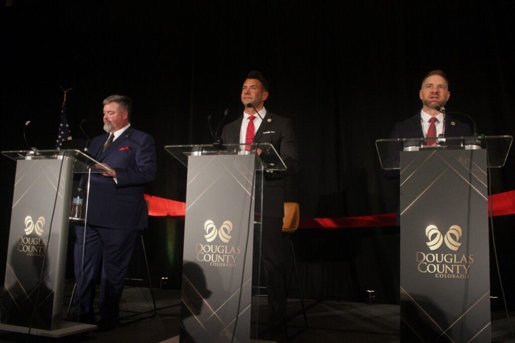
Douglas County expects busy year for public safety, business growth, school changes
Noah Festenstein
noah-festenstein@denvergazette.com
Updated 22 hours ago
Douglas County officials made their 2026 goals clear: to maintain a wealthy, healthy and safe environment for the more than 400,000 residents who call the affluent county south of Denver home. The Denver Gazette asked several government, law enforcement, business...
Noah Festenstein
Reporter
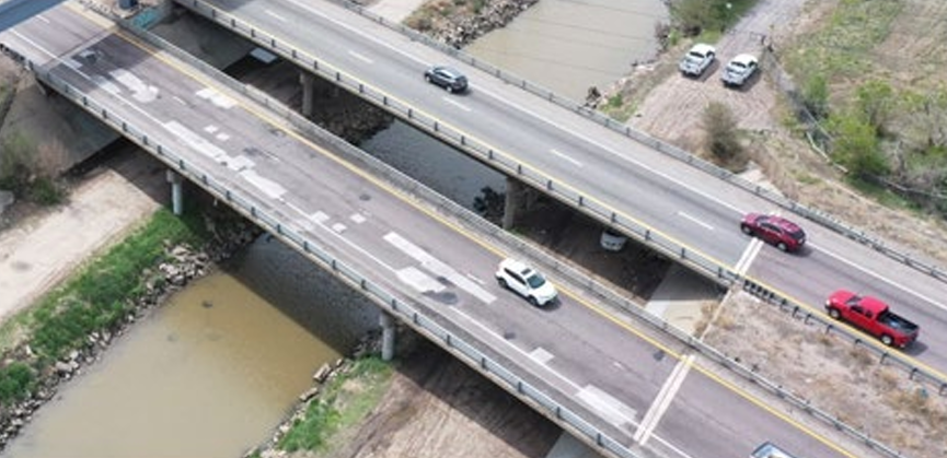
CDOT opens public comment on express lane plan for congested I-270 corridor
Scott Weiser
scott-weiser@denvergazette.com
Updated 2 days ago
The Colorado Department of Transportation has opened public comment on proposed improvements to the congested Interstate 270 corridor, where heavy traffic, unreliable travel times and aging infrastructure create daily headaches for commuters and freight haulers. The department identified a preferred...
Scott Weiser
Reporter
PREV
PREVIOUS

Hickenlooper says Colorado bars and eateries received $481 million in relief
Facebook Twitter WhatsApp SMS Email Print Copy article link Save The former best-known barkeeper in LoDo said $481 million in the federal stimulus money had reached 1,762 Colorado food and drink businesses from the Restaurant Revitalization Fund that Democrats included in the American Rescue Plan. Hickenlooper and other Democrats are making the rounds to talk […]

Broomfield ballot measure to propose ranked-choice voting model for city elections
Facebook Twitter WhatsApp SMS Email Print Copy article link Save Facebook Twitter WhatsApp SMS Email Print Copy article link Save A measure on the November ballot will allow Broomfield residents to vote on implementing a ranked-choice voting model for the city’s mayor and city council elections beginning in 2023. The Broomfield City Council unanimously voted […]