




Quarter-sized hail, 60 MPH winds possible in southern parts of Colorado

Severe thunderstorms could bring the potential for 60 mph winds and quarter-sized hail falling Wednesday in south-central and southeast Colorado.
Storms will be possible this afternoon and evening along the Palmer Divide and southeastern plains, according to the National Weather Service (NWS). The main threats will be found east of a line from Calhan to La Junta and Kim.
“We are monitoring northeast El Paso and Kiowa counties for the potential for severe storms capable of producing gusty winds up to 60 mph, and hail up to 1″ from 2 PM to 8 PM,” the NWS stated in an updated tweet Wednesday shortly after 12:30 p.m.
See a map of the impacted area below:
STAY INFORMED: Sign-up for the daily OutThere Colorado newsletter here
A weaker line of storms could develop this afternoon and evening across Brent and Baca counties.
Colorado is one of the most hail-prone states in the nation. Hail storms occur most frequently in June but can also fall as early as March or as late as October.
Hail stones of this size could cause damage to vehicles, as well as wind damage to roofs, siding, and trees.
Mountain-Forecast.com also shows chances of snow Thursday in Rocky Mountain National Park, calling for about 2 inches of snow over the summit of Longs Peak.
Editor’s Note: Please note that all weather statements are subject to change or extend. For more details on this severe weather report, click here.
Get OutThere
Signup today for free and be the first to get notified on new updates.
PREV
PREVIOUS

Man dead after early-morning shooting at Broomfield home
The Broomfield Police Department is investigating after a man was killed in a shooting Wednesday at a Broomfield home. Neighbors called 911 just before 6:30 a.m. to report gunshots in the 2200 block of Sunridge Circle, a neighborhood near the Rock Creek Farm nature preserve, police said. Responding officers found a man dead at the […]
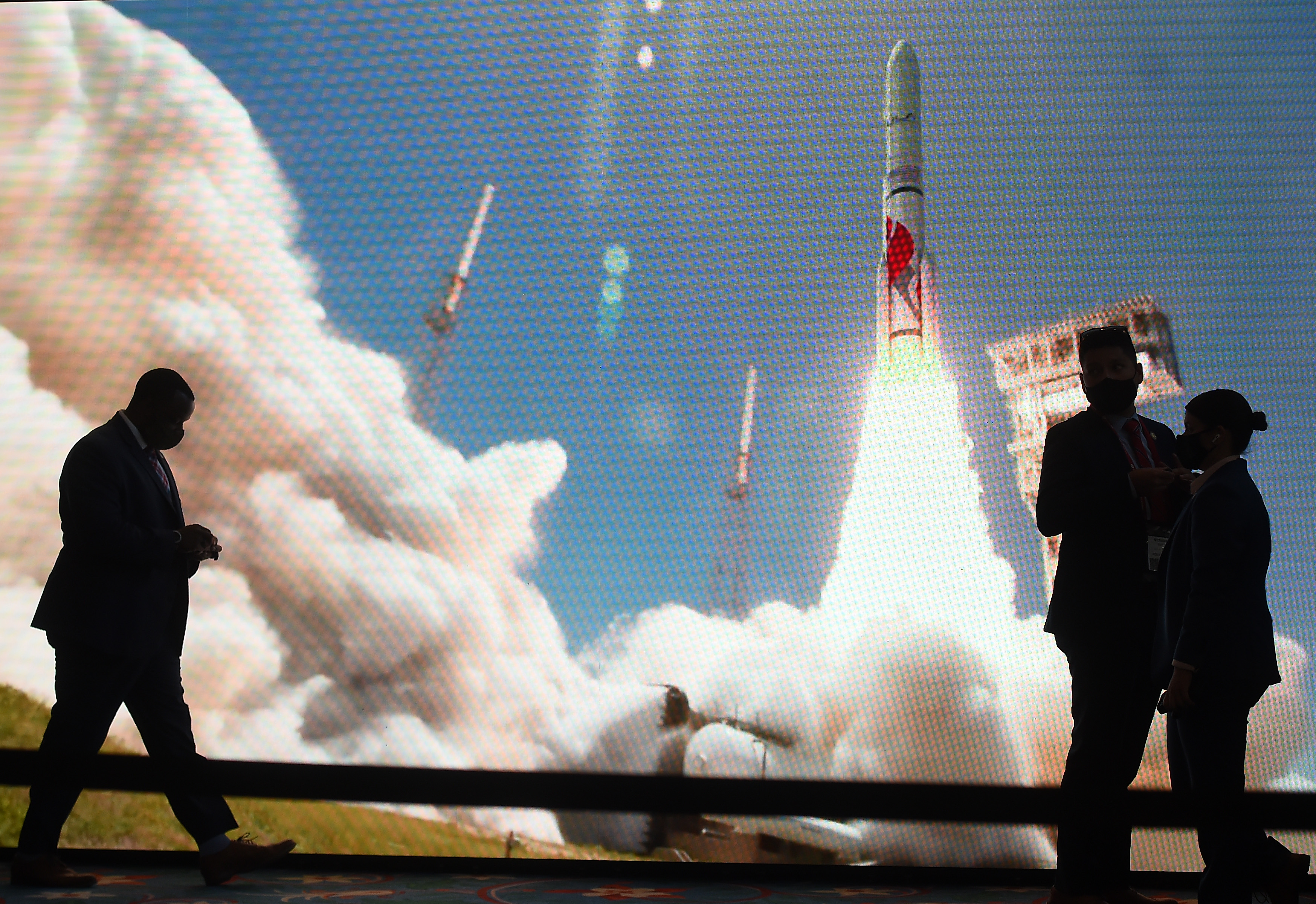
United Launch Alliance's Bruno has confidence in new engines for new rocket
Centennial-based United Launch Alliance’s CEO Tory Bruno told the crowd at Space Symposium on Wednesday the company has full confidence in the new engines being developed by Blue Origin for its next-generation Vulcan Centaur rocket. The speech came on the heels of a meeting between the companies’ officials and Air Force Secretary Frank Kendall after […]