




Summer thunderstorms popping up again this weekend in Colorado
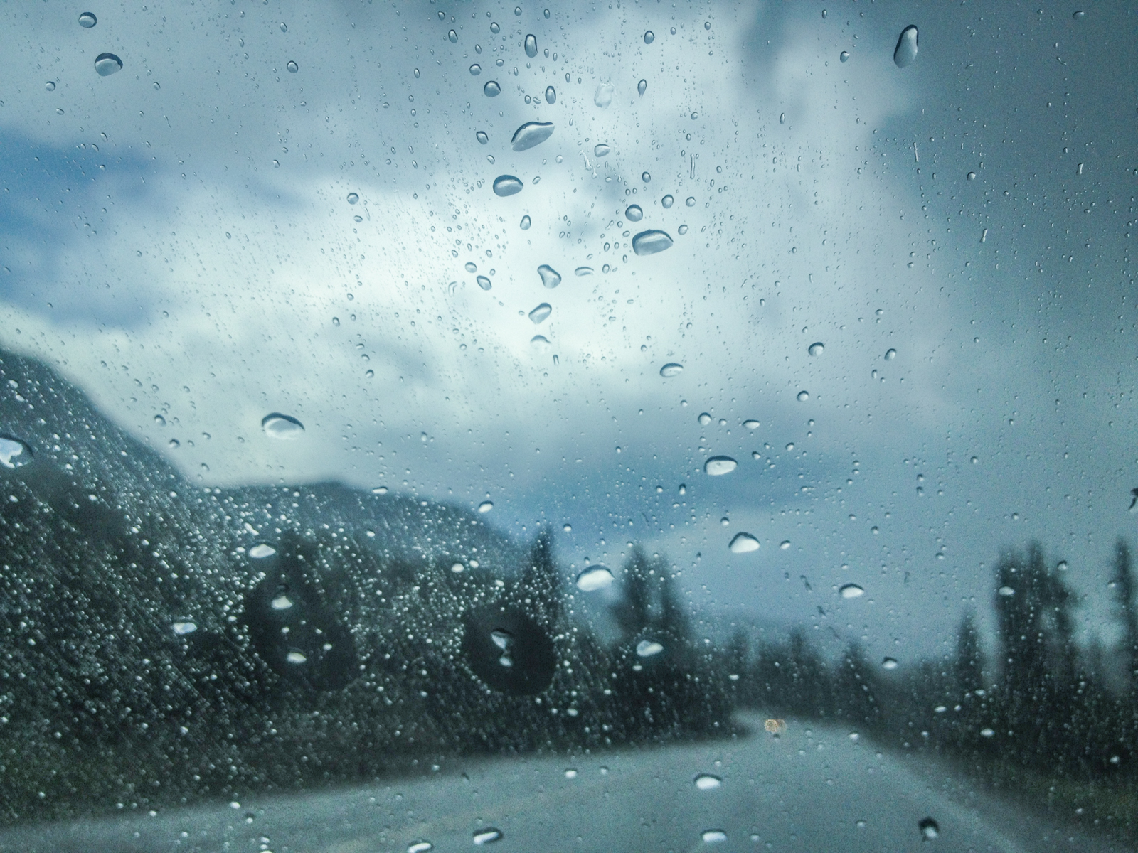
Expect multiple rounds of summer mountain thunderstorms rolling through parts of Colorado this weekend.
A few more rounds of high country afternoon and evening thunderstorms will be capable of producing heavy rains, lightning, and strong gusty. These storms will also bring an increased risk for flash flooding, especially near steep terrain and over wildfire burn areas.
Front Range temperatures over the weekend will hold around 90s degrees. Expect mid-to-upper 80s and 90s on the Western Slope and mid-70s in the southwest corner of the state.
A cold front could knock temperatures back a few degrees and push more wildfire smoke around.
Although light, snow is also in the weekend forecast. Longs Peak could see a dusting of fresh snow Sunday evening with accumulations of less than half of an inch expected. The 14,259-foot summit is the highest point in Rocky Mountain National Park, located just outside of Estes Park.
Always check the weather forecast before heading out on a hike, regardless of the season. Traction laws are set to go into effect for the next nine months on September 1st.
Editor’s Note: All weather statements are subject to change. Be sure to check the weather forecast at weather.gov and road conditions before heading out at codot.gov.
GEAR UP FOR YOUR NEXT ADVENTURE: Use code OTC20 for 20% off the OutThere Colorado online store.
Get OutThere
Signup today for free and be the first to get notified on new updates.
PREV
PREVIOUS

Aurora, Adams County launch pilot program aimed to help homeless vets
A pilot program has officially launched in Adams County and Aurora that will connect homeless veterans with services to get them on their feet. The one-year pilot program was unanimously passed by the Aurora City Council on July 28 and been in affect since July 1. Adams County based the agreement on July 20, according […]
Tweet from NWSGJT. (Click to see if image does not show on your device)
Critical fire weather up north and scattered storms in the San Juans today. We will be focusing on the return of moisture mid-week as remnants of Nora move through the Desert Southwest. It could bring heavy rainfall and the potential for flash flooding. #cowx #utwx pic.twitter.com/xwb46gD2hk — NWS Grand Junction (@NWSGJT) August 27, 2021