


‘Winter Storm Warning’ activated for Denver metro area ahead of expected travel concerns

The National Weather Service has issued a ‘winter storm warning’ for much of central, north central, and northeast Colorado, including the Denver metro area. Currently, the warning is set to last through 5 AM on Thursday morning, with dangerous driving conditions expected during afternoon and evening commutes.
According to the ‘winter storm warning,’ up to 12 inches of snow will fall in the foothills, with four to eight inches of snow possible elsewhere in the Denver metro area. Travel is expected to become “very difficult.”
The heaviest snow is expected to fall between 5 PM and 9 PM. Though roads will initially be wet due to warmer temperatures, they’ll become slicker and icy as the sun sets.
A ‘winter weather advisory’ has also been activated in the Rocky Mountain National Park area, the Medicine Bow Range, the Mosquito Range, the Indian Peaks area, and the mountains of Summit County. Up to 10 inches of snow may fall in this area, with potential travel impacts and dangerous driving conditions.
Read more about this storm and see snowfall projection maps here.
Though dry conditions are expected to return through the weekend, another chance of snow arrives Monday through Tuesday of next week.
Those heading out on Colorado’s roads tonight and into Thursday morning should be aware of the changing conditions and plan ahead accordingly. Pack these 16 items in your truck to help improve the safety of your winter travel and always check the forecast with the National Weather Service website prior to embarking on any adventure.
STAY INFORMED: Sign-up for the daily OutThere Colorado newsletter here
Get OutThere
Signup today for free and be the first to get notified on new updates.
PREV
PREVIOUS
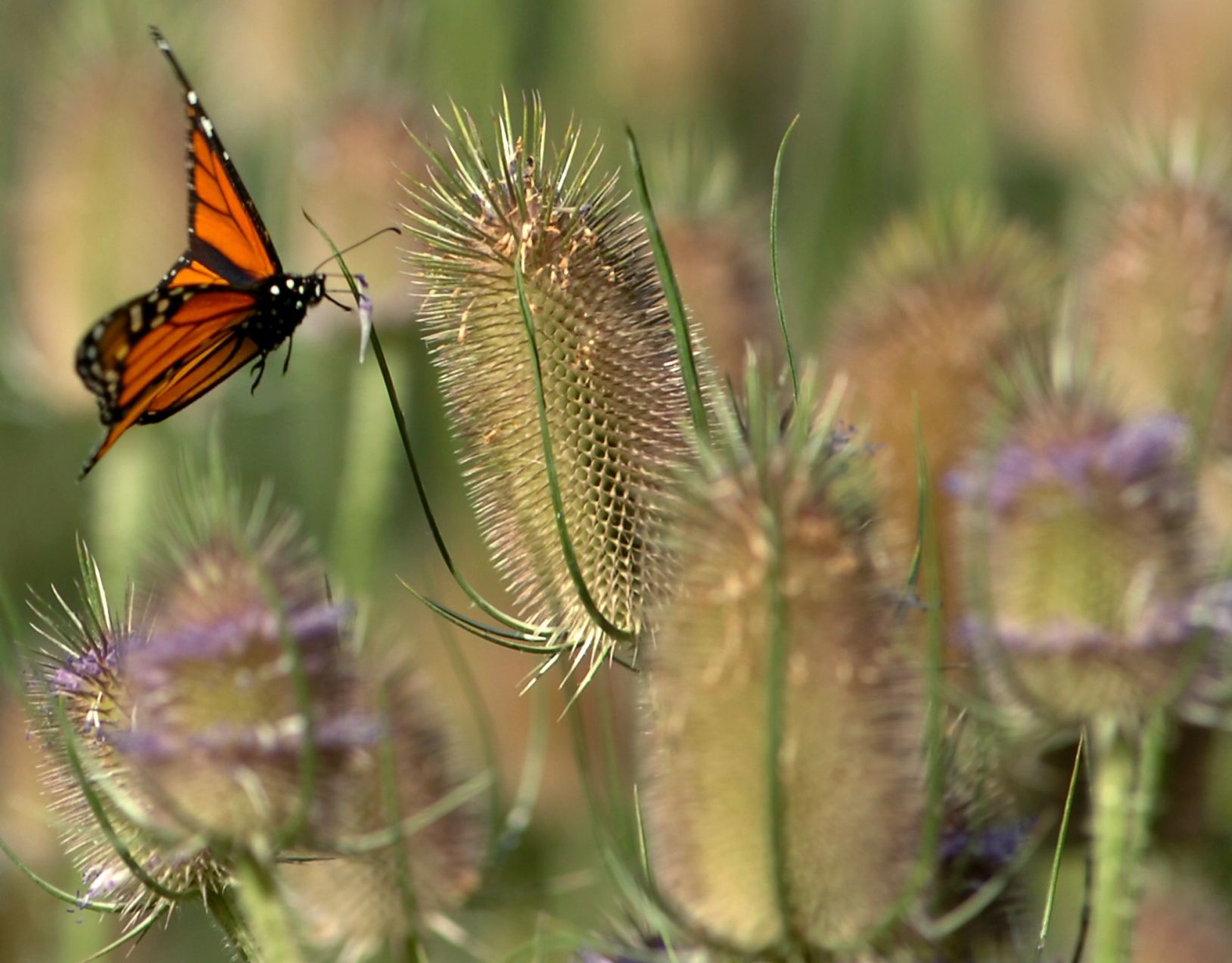
'Surprising and remarkable' monarch counts in Colorado (and beyond) underscore severe loss
An iconic winged beauty feared to be on the verge of extinction was spotted more around the West last year, including in Colorado. In summarizing 2021 findings from its seasonal, decades-old count of black-and-orange-striped monarchs, it was a “surprising and remarkable outcome,” read a recent news release from Oregon-based Xerces Society for Invertebrate Conservation. Largely […]

Committee rejects bill to require customer opt-in for utensils, condiments from restaurants
A House committee rejected legislation that, if passed, would have required restaurants and food delivery services to ask customers if they want single-use items, such as utensils and condiments, instead of providing them automatically. The committee unanimously voted to indefinitely postpone House Bill 1134 on Wednesday following an hour and a half of testimony from […]