


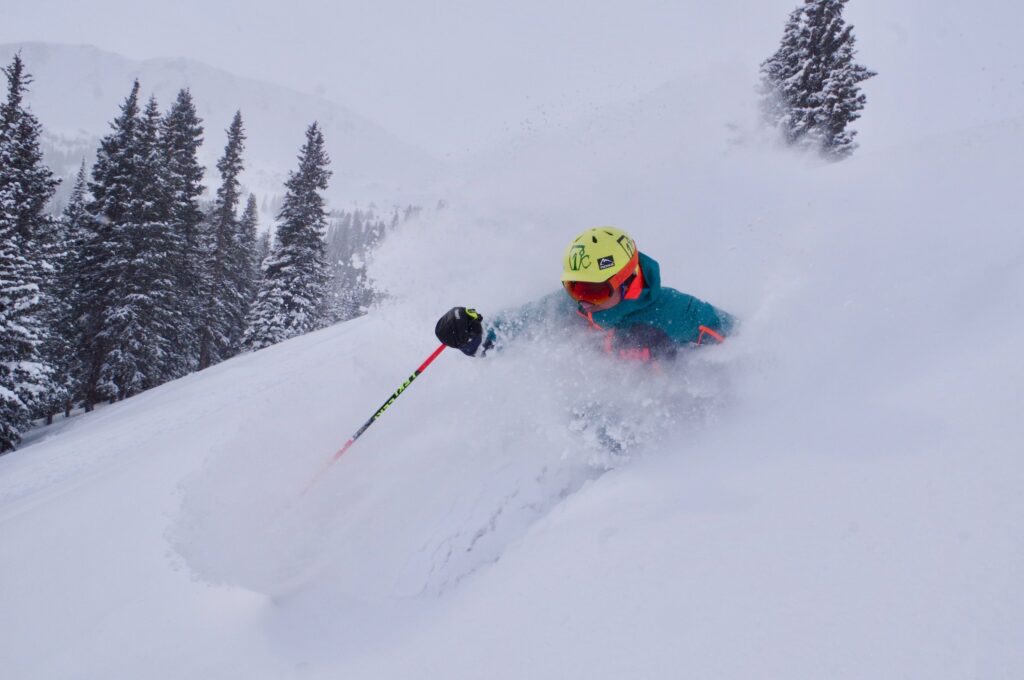
Denver weather: Snow to return Wednesday, Thursday

Timothy Hurst
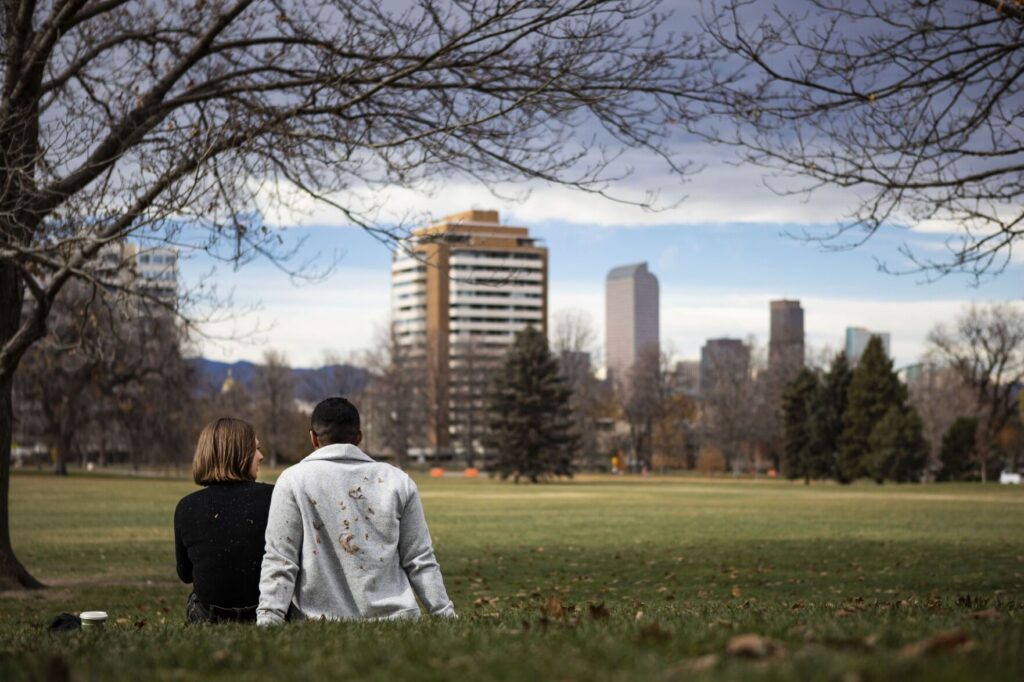
Welcome back, winter.
After a day of sunshine and relatively warm temperatures, Denver is expected to see snow once again Wednesday. According to the National Service in Boulder, the city is projected to have snow falling by mid-afternoon with a high near 22 degrees.
Snow accumulation during the day is expected to be about an inch, while the overnight forecast calls for wind chill values as low as minus-1 degree and new snow accumulation of up to 3 inches, the weather service says.
Snow is expected to fall until Thursday morning, with about another half-inch of snow accumulation, according to the weather service.
Then, it begins to warm up again. Friday’s forecast calls for a high near 36 degrees, followed by temps in the high 50s on Saturday, the weather service predicts.
Here’s the upcoming forecast from the National Weather Service.
Wednesday: Snow, mainly after 3 p.m. Patchy fog before 10 a.m. High near 22. North wind 7-11 mph, with gusts as high as 21 mph. Chance of precipitation is 80%. Total daytime snow accumulation of around an inch possible.
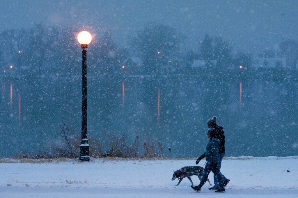
Wednesday night: Snow. Low around 7. Wind chill values as low as -1. Northeast wind 5-11 mph, with gusts as high as 17 mph. Chance of precipitation is 100%. New snow accumulation of 1-3 inches possible.
Thursday: Snow likely, mainly before 8 a.m. Mostly cloudy, with a high near 24. Wind chill values as low as -3. North northeast wind 3-6 mph. Chance of precipitation is 60%. New snow accumulation of less than a half-inch possible.
Friday: Sunny, with a high near 36. Light and variable wind becoming east northeast 5-7 mph in the morning.
Saturday: Sunny, with a high near 58.
Denver weather: Mild conditions Wednesday lead to 1-3″ of snow over holiday weekend
Jonathan Ingraham
jonathan.ingraham@denvergazette.com
Updated 2 days ago
Weather around metro Denver on Wednesday is forecast to be seasonal, with some sun some clouds but calm and quiet throughout the day. The city’s big change comes Friday night as a storm system is forecast to cool things down...
Jonathan Ingraham
Reporter
Heavy snowfall in Colorado forecast with 20+ inches possible as December starts
Jonathan Ingraham
jonathan.ingraham@denvergazette.com
Updated 2 days ago
Winter weather systems inbound for Colorado have been evolving more frequently during early winter 2025-26, and the forecasted Thanksgiving system and the ones lining up behind it heading into December are no exception. Prime example being the Thanksgiving storm. A...
Jonathan Ingraham
Reporter
Denver weather: Early clouds lead to sunny skies Tuesday ahead of potential snow Saturday morning
Jonathan Ingraham
jonathan.ingraham@denvergazette.com
Updated 3 days ago
Cooler conditions Tuesday are forecast around metro Denver as cloud cover keeps the city in the shade most of the day, however, the sun should peep its face from behind the clouds in the afternoon and bring some warmth back...
Jonathan Ingraham
Reporter

Denver weather: Mild conditions Monday starts dry Thanksgiving week, but snow is coming
Jonathan Ingraham
jonathan.ingraham@denvergazette.com
Updated 4 days ago
Thanksgiving week starts off dry, calm and seasonal after cooler temperatures and some rain fell around metro Denver over the weekend; but still no snow. Denver residents can expect sunny skies, with a high near 57, according to the National...
Jonathan Ingraham
Reporter

Light snow to fall in Colorado before Thanksgiving, then heavy snow inbound as December starts
Jonathan Ingraham
jonathan.ingraham@denvergazette.com
Updated 3 days ago
Winter returned to Colorado’s high country over the weekend, especially in the southern and central mountains. The state’s snowpack is slowly rebounding as well, with the median average moved above 33%. Thanksgiving week forecast shows more snow through the holiday...
Jonathan Ingraham
Reporter
First measured snowfall will now be Denver’s second-latest or latest ever
Michael Braithwaite
michael.braithwaite@gazette.com
Updated 4 days ago
Denver officially passed the previous second-latest date for its first measurable snowfall of the year Saturday, making this season’s first snow either the second-latest or latest on record. Nov. 21, 1934 previously marked the second-latest date on record for Denver...
Michael Braithwaite
Reporter
Denver weather: Snow misses Denver, return to average conditions Friday
Jonathan Ingraham
jonathan.ingraham@denvergazette.com
Updated 7 days ago
So much for Denver receiving its first snow of the season on Friday morning. And with another warmup and dry spell forecast over the next few days, it could be another week before the season’s first flakes fly. Denver residents...
Jonathan Ingraham
Reporter
Additional 6-10″ of snow for Colorado as ‘risk of heavy snow’ forecast for week’s end
Jonathan Ingraham
jonathan.ingraham@denvergazette.com
Updated 4 days ago
Winter conditions and the risk of heavy snow return to Colorado’s high country late week, with the southern mountains benefiting the most from the incoming storm. A round of snow from Wednesday to Friday night should fill in more gaps...
Jonathan Ingraham
Reporter

Denver weather: After warm Wednesday rain forecast to close out week, snow doubtful
Jonathan Ingraham
jonathan.ingraham@denvergazette.com
Updated 1 week ago
The ever evolving weather forecast for Denver has changed again, and although Wednesday will be sunny and pleasant with a high in the mid 60s, the city receiving snow by week’s end is even more doubtful now. Denver residents can...
Jonathan Ingraham
Reporter
Is the latest first snow record for Denver in jeopardy?
Jonathan Ingraham
jonathan.ingraham@denvergazette.com
Updated 1 week ago
Denverites haven’t experienced snowfall in the Mile High City for over 200 days currently and with each passing day a new record for latest first snow keeps falling. Denver International Airport has not recorded any measurable snow since April 18,...
Jonathan Ingraham
Reporter