Stormy, wet weather drenches Colorado Front Range, eastern plains Thursday
Landspout tornadoes, funnel clouds, golf ball-sized hail, snow and plenty of rain has visited Colorado this week and the hazardous weather is not quite done.
The National Weather Service office in Pueblo tweeted Thursday morning: “Under the center of the low pressure center weak landspout tornadoes are possible. If you see thunderstorms develop in this area during the day, you may see a brief spin-up!”
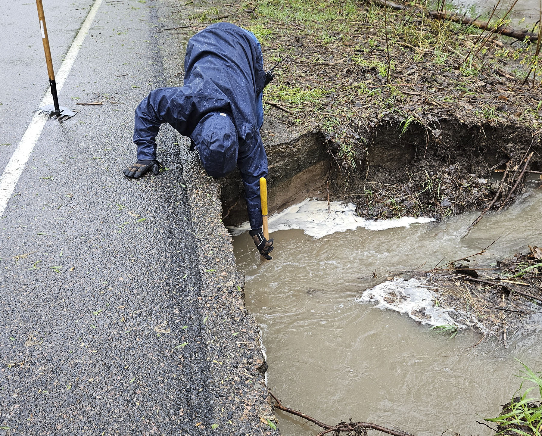
By mid-afternoon Thursday, low to moderate flooding was reported on roads throughout Denver, according to the city’s Office of Emergency Management.
Minor flooding from Fountain Creek in El Paso County prompted the NWS to send a flood warning effective from Thursday afternoon until Friday afternoon. The river is expected to reach 7.8 feet by Thursday afternoon and hit flood stage of 11.5 feet early Friday morning, according to the Flood Statement.
Several counties were under a flash flood warning until 8:00 p.m. Thursday. Northeastern and southwestern Cheyenne County, eastern Kit Carson, southeastern Yuma are included. Two counties in Kansas are part of the warning — western Sherman and Wallace Counties.
Parts of eastern Colorado fell under a tornado watch at midday Thursday that will expired at 7:00 p.m, the NWS alerted. Scattered hail, up to tennis ball size, and gusting wind approaching 70 mph are possible, the watch stated.
Travelers at Denver International Airport were affected Thursday afternoon, according to FlightAware.com. The monitoring site listed DIA with more than 441 delayed flights and 20 cancelled. The “Misery Map” for Denver was rated at 80 at midafternoon Thursday, with Dallas-Fort Worth airport logging in with 50. DIA’s misery score recently had a rating of 104 around 8 p.m. Wednesday night.
The NWS forecasted a 100% chance of rain Thursday and Thursday night for the metro area. Another inch of rain may fall from the current storm system over city and region.
Cherry Creek State Park closed a section of East Lake View Road due to damage from heavy rainfall, the Colorado Parks and Wildlife’s Northeast Region office said. All park entrances are still open as is the dog park.
Heavy snow is forecast for the mountains with between eight to 16 inches possible. Winter Park’s base webcam showed thick, low-hanging clouds and steady snowfall at mid-day Thursday.
While this storm system has been wet and tumultuous, it hasn’t yet reached the level of September 2013 system that dropped nearly a foot and a half of rain on parts of the Front Range and foothills. Boulder had 9 inches of rain fall in a single day on Sept. 12, 2013. This led to severe flooding that killed nine people, caused nearly $4 billion in damage and destroyed 2,006 homes from Sept. 11 to 15 that year.
Here’s a round-up of watches and warnings for hazardous weather:
The NWS issued a flood watch early Thursday morning for several Front Range counties. It is in effect until late Thursday.
A hazardous weather forecast was posted for northeast and north central Colorado through Friday morning. The NWS says “ongoing widespread rainfall” has the potential to cause flooding east of the Front Range through Thursday night.
Snow at upper elevations (10,000 feet and higher) could reach eight to 16 inches.
As much as another inch of rain was forecast for Thursday night for the area.
The storm will move out by Friday, the NWS said, but high flow in streams and rivers will remain.