


Denver weather: Partly sunny Monday ahead of next storm
Plus: On this date in Denver weather history
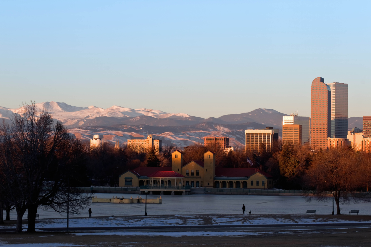
A mild Monday awaits Denverites ahead of new winter storm entering the state.
Denver residents can expect partly sunny skies today with a high near 49, according to the National Weather Service in Boulder. A south southeast wind will blow around 7 mph, becoming north northeast in the afternoon.
Tonight is forecast to be mostly cloudy, with a low around 27. Northwest wind 5 to 8 mph becoming east southeast after midnight.
Occasional light snow will fall in the northern mountains through this evening. Several inches of snow can be expected around Rabbit Ears Pass and the Park Range. A little light snow or even some freezing drizzle could develop across the northern plains tonight into Tuesday morning, creating slick travel conditions. The best chance for the freezing precipitation will be over the northern areas bordering Wyoming.
On this date in Denver weather history:
In 1961: Cold arctic air produced a protracted cold period. The temperature plunged to 16 degrees below zero on the 10th, establishing a new record for the date and the coldest reading since 25 degrees below zero on Feb. 1, 1951. Low temperatures dipped below zero on 5 consecutive days with 9 degrees below zero on the 9th, 16 below on the 10th, 10 below on the 11th, and 12 below on both the 12th and 13th. High temperatures reached only 3 degrees on the 10th and 6 degrees on the 11th.
Here’s the full forecast from the National Weather Service.
Tuesday: Cloudy, with a high near 38. Calm wind becoming north around 6 mph in the afternoon.
Wednesday: Partly sunny, with a high near 42. Northwest wind 5 to 7 mph becoming east in the morning.
Thursday: Mostly sunny, with a high near 48.
Friday: Sunny, with a high near 51.
