


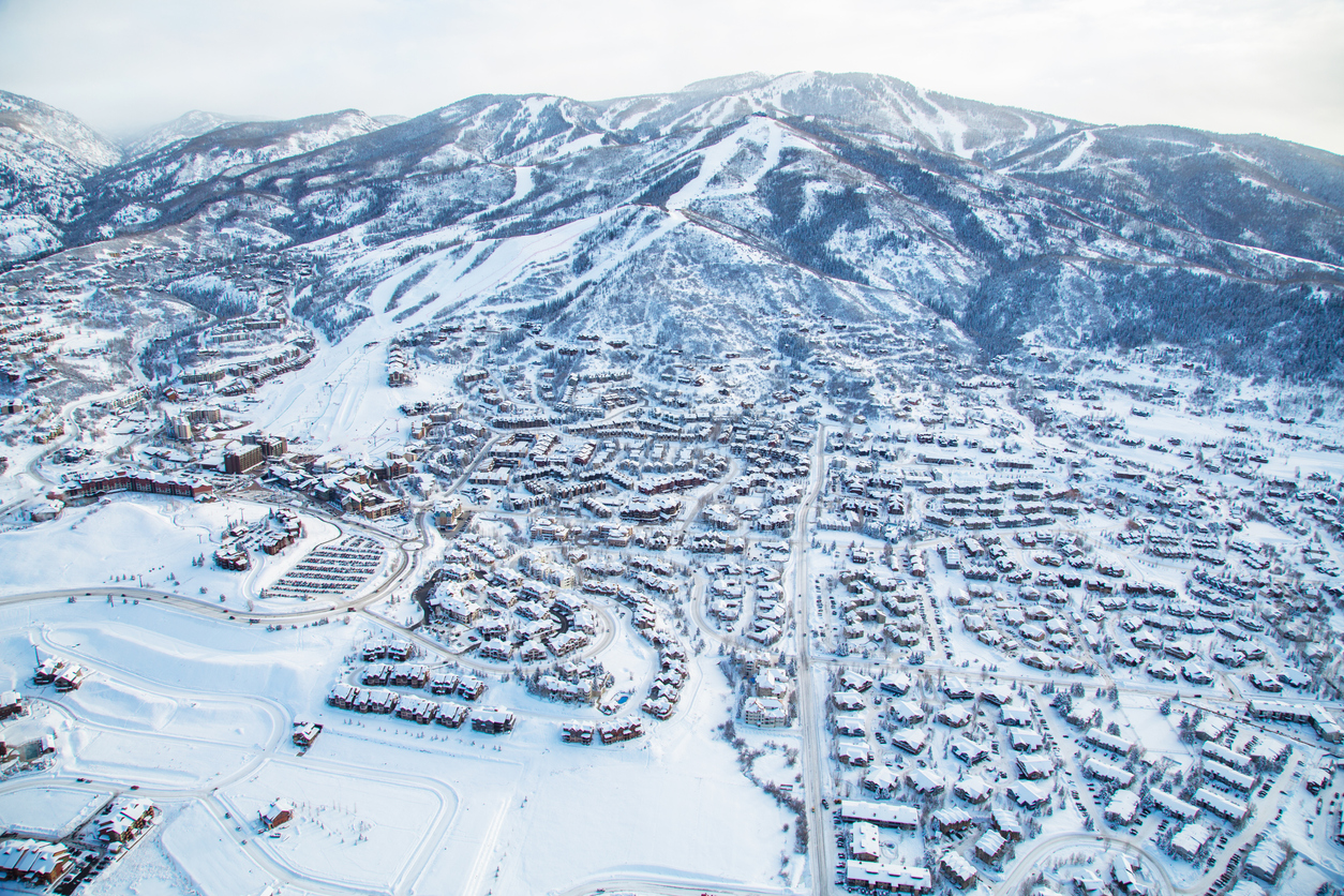
18 inches of snow expected on peaks around Colorado resort town
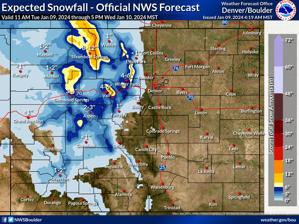
According to the National Weather Service, more snow is lining up to hit Colorado’s mountain region between Tuesday at 11 a.m. and Wednesday at 5 p.m. This round of snow should favor the northwest region, specifically in the area of Steamboat Springs.
Current mapping shows that up to 18 inches of snow could land on peaks located east of this city, with eight to 12 inches of snow landing in the city itself through Wednesday afternoon. This follows a snowy weekend in this part of the state, when more than two feet accumulated.
Meanwhile, the area north of Glenwood Springs and mountains around Vail Pass could also get up to 12 inches of snow. Peaks around Winter Park could get more than six.
Elsewhere in the mountain region, lower totals are expected – to the tune of one to four inches. The Front Range metro area should be skipped entirely, with no snow expected in Denver or Colorado Springs.
Find more weather information on the National Weather Service website.
STAY INFORMED: Get free Colorado news with our daily newsletter (Click here)
Get OutThere
Signup today for free and be the first to get notified on new updates.
PREV
PREVIOUS
Below zero temps coming to Colorado for MLK Jr. weekend
High temperatures barely reach the middle teens
Alleged shooter arrested after sliding off Colorado mountain road during chase
At about 3:30 a.m. on January 8, Boulder Police officers responded to the report of a shooting at the Circle K located at 2877 Baseline Road. According to the report, an adult male was shot at from a person who pulled up to the business in a Mercedes. While the male was not struck by […]