


Weekend snow storms to create high avalanche danger throughout Colorado
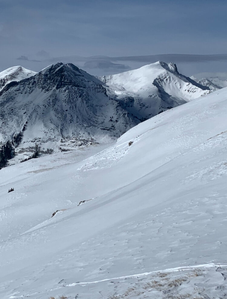
The avalanche danger in Colorado is about to reach high levels across the state, including zones below treeline, as wind will affect mountain snow first, then heavy accumulations on top of it.
Brian Lazar from the Colorado Avalanche Information Center and Aaron Colson with Friends of the CAIC spoke on Instagram Thursday about the incoming snow storms and wind event set to wreak havoc on the slopes of Colorado.
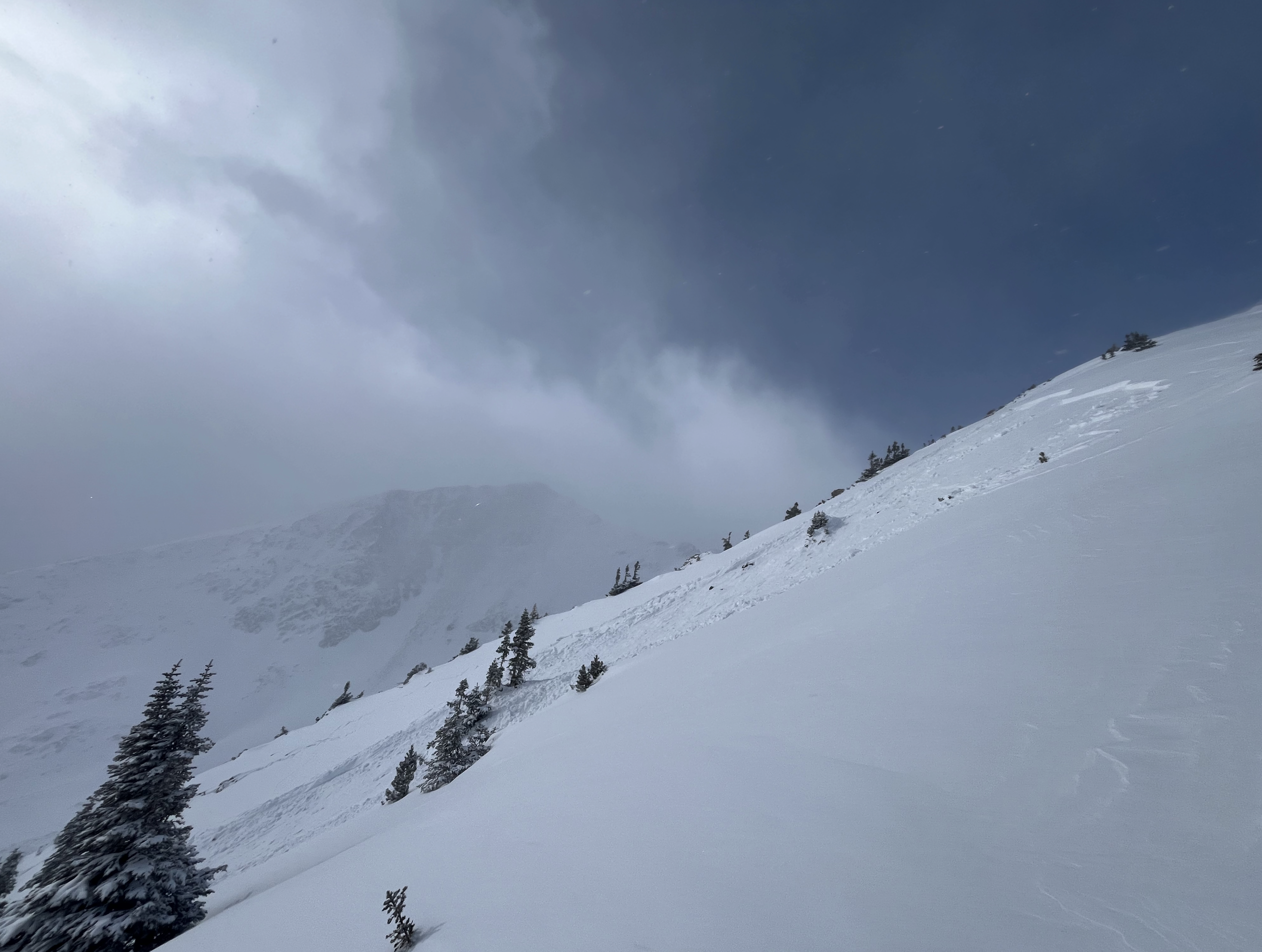
“The West Elks already have an avalanche warning in place today (Thursday),” Lazar said shortly after the live stream started. “There will be slabs over the weak layers of snow we have now and areas where backcountry travelers can go are going to be limited during the storm cycle.”
The CAIC said most slopes have been rather safe from avalanche danger between December to early January, with only small snow amounts accumulating, but that is going to change quickly and become a high risk lasting for several days after the storms exit the state.
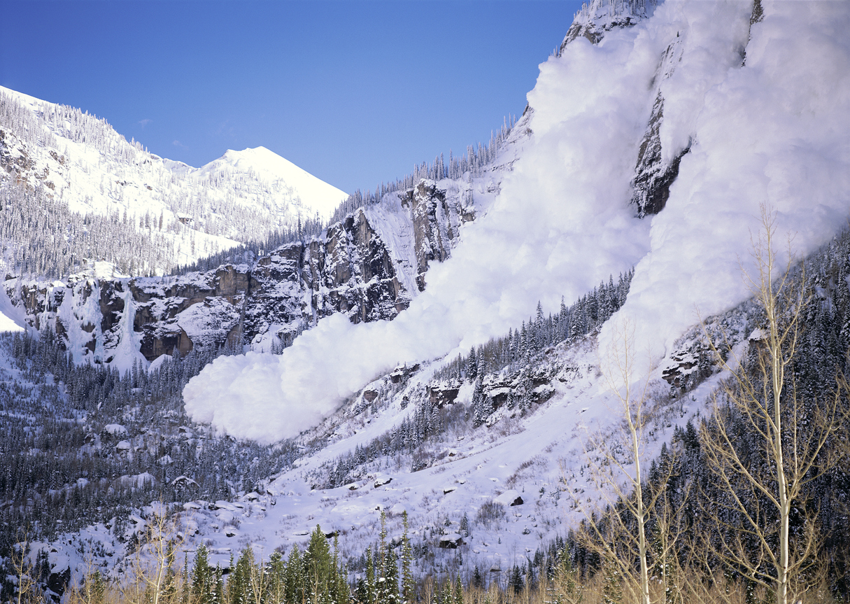
“Size two avalanches are to be expected to run naturally on slopes above 30 degrees and we’ll be right on the edge of skier-easily triggered avalanches too,” he said.
The wind coming in will help push avalanche danger up even below treeline on steeper slopes Lazar said, especially as the forecasted totals reach over a certain level — “it’ll get dangerous at some point, 8-10 inches or more will make it quite spicy.”
Lazar said the agency forecasters have seen “dry sluffing” in the recycled powder due to the low amounts of snow and long period without much, but the weak layer underneath the most recent, newer snow (Jan 8-10) didn’t slab up.
All mountain zones (north, central and southern) will be affected and most likely all in the high danger rating until at least Monday, Lazar said.
Good news, however, is the potential for lowest danger backcountry skiing and riding will be in the Sangre de Cristos, around Pikes Peak and in the Buffalo Peaks since not much snow is currently there anyway even though the snow layers are weak and patchy.
Lazar said about getting out to ski or snowboard tour to: “travel as is you could trigger from a distance or from below. All is guilty (slopes) until proven innocent.”
This includes wind-affected slopes, too. All of the new snow coming in is on a powerful jet stream Lazar said, and cautioned tourers to beware of wind-affected snow on flat ground, meaning if the snow is wind affected on the flats it will be wind affected on the slopes.
“Models are coming together with more confidence in the wind. If snow fall totals pan out with lots coming, it’ll be (the question) which areas will fall short of the threshold? What will load up most and slab over the weak layers making high danger (happen)?” Lazar said.
“This will not heal up in days. We will come out of high danger Monday, but still considerable (safety rating) for next week,” Lazar said. “Natural (avalanche) cycles should be over (by Monday), but waiting for skiers to trigger for most of the week ahead. It’ll be a really gradual decrease during the loading event 4-7 days afterwards.”
“We are not at maximum amount of snow yet this season. Avalanches won’t run peak to creek, not like in March 2019, there is not enough volume right now, but size 2 avalanches are mostly possible,” Lazar said. “Stay 100s of yards away from those 30+ slopes and give a buffer from them.”
Size 3 avalanches are possible on slopes with snow totals reaching over 18-plus inches.
Lazar suggested snowshoeing or other winter activities (snowmobiling) on non-avalanche terrain will be good to go.
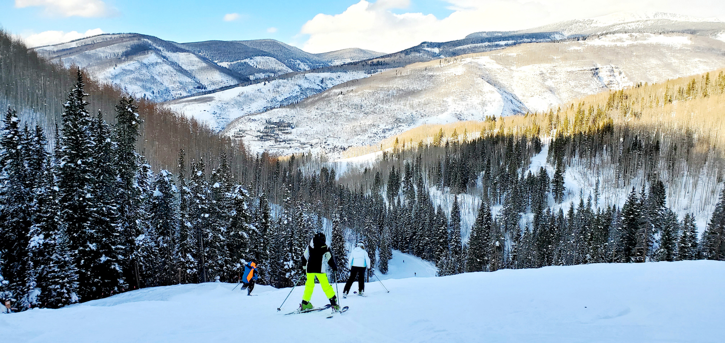
For those looking to ski and ride at resorts, Lazar said if the ski areas have it closed, stay out of it. Do not duck ropes, exponentially risk heightened during the storm cycle and ski patrol cannot guarantee a 100% chance a slope won’t fail and avalanche.
Stretches of highways could be affected by wind loading up high in avalanche paths that cross roads from Rabbit Ears to Wolf Creek. Lazar said to check cotrip.org for updated info on closures.
Get OutThere
Signup today for free and be the first to get notified on new updates.
PREV
PREVIOUS
7 'top-to-bottom' ski runs found around Colorado
It’s no question that skiing and snowboarding are great workouts, and these ski runs are sure to test even the most physically fit slopegoers. Here’s a list of notably long runs around Colorado that travel from the top to the bottom of the mountain. Some of these are sure to leave you heaving for breath […]
Moveable vans being used to monitor speeding drivers in Denver
As Denver works to crack down on speeding drivers and other roadway infractions, photo radar enforcement is becoming a key part of that plan. While that effort involves photo red light equipment that monitors traffic at four intersections 24 hours a day, the use of a ‘photo speed van’ is perhaps more interesting. These photo […]