




Second ‘risk of heavy snow’ now on the radar for Colorado over upcoming days
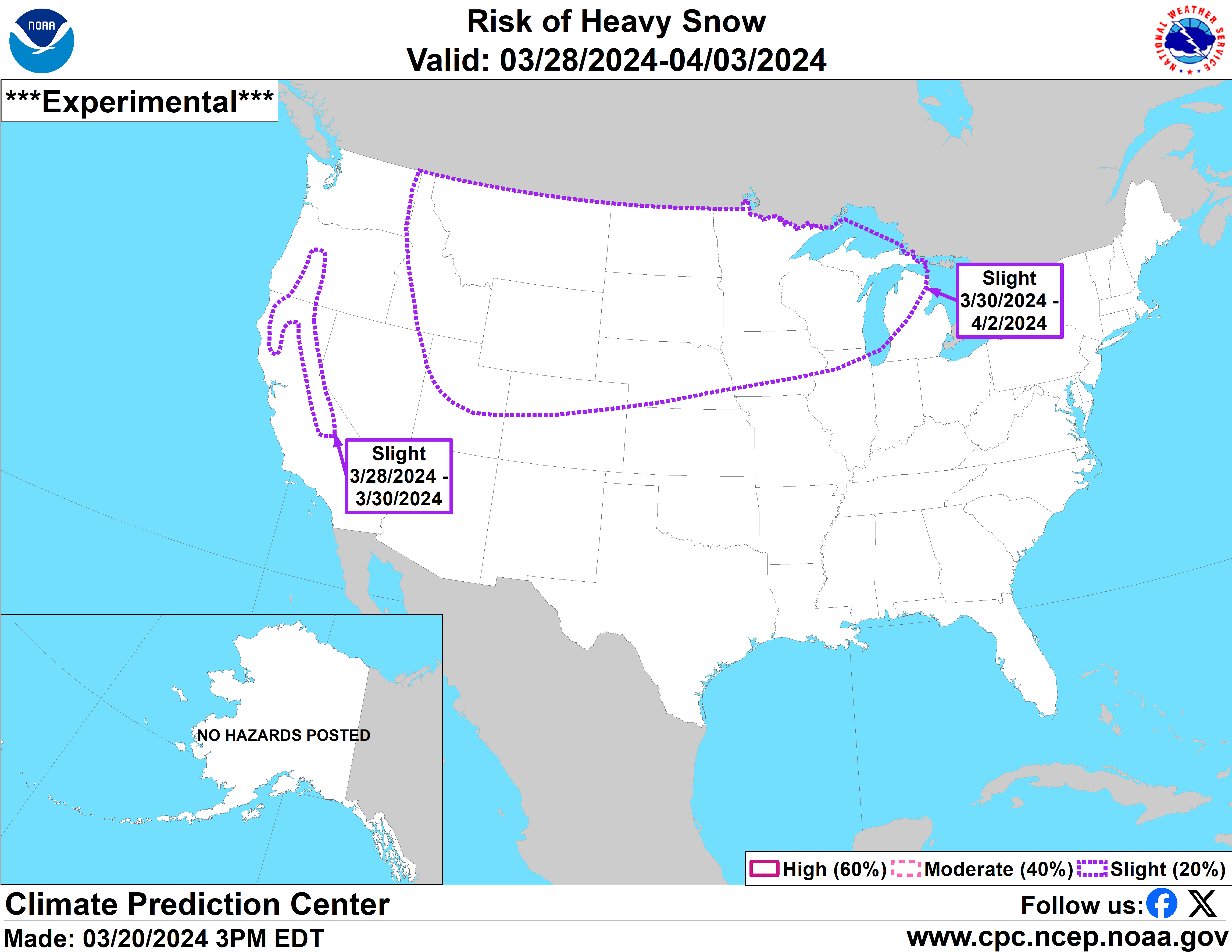
Multiple days of snow are setting up to hit Colorado and it’s likely to start on Saturday night, but you already know that. However, there’s another ‘risk of heavy snow’ that’s now on the radar for Colorado over upcoming weeks.
On March 20, the National Weather Service published their latest ‘risk of heavy snow’ outlook map, showing that the northern portion of the state could get heavy snow from March 30 to April 2. That’s still more than a week away so a lot can still change, but keep that in mind as you’re making outdoor recreation plans.
With late-winter bringing heavy snow to the Centennial State, many trails are still covered in deep powder. This will mean that packing traction and snow gear will remain essential for high-elevation hikes.
The statewide snowpack remains above the norm for the date, at about 107 percent of what’s expected for this time of the year per reporting from the USDA.
Will the start of spring be noteworthy in terms of snow? We’ll have to wait and see.
Find additional forecasting information on the National Weather Service website and find a slopesport-specific forecast with a resort-by-resort breakdown on OpenSnow.com.
Get OutThere
Signup today for free and be the first to get notified on new updates.
PREV
PREVIOUS

Colorado brewery making beer with flavors of pizza and spicy 'pepperoni kick'
Colorado beer lovers are sure to be curious about a new Voodoo Ranger variety coming from New Belgium Brewing Company, which is headquartered in Fort Collins. The well-known beer maker is set to release an IPA inspired by pizza in collaboration with Tombstone Pizza, reportedly to be available in four packs on April 7 – […]
Colorado small town dubbed one of 'happiest' in America
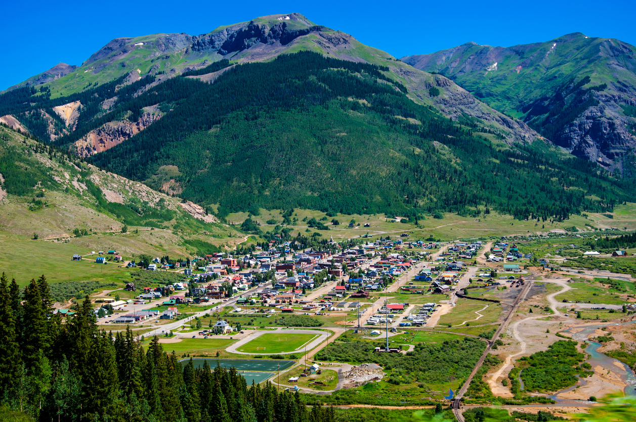
A company called TheTravel recently published a list of the top 10 happiest towns in America, and Silverton, Colorado took ninth place. TheTravel examined metrics such as poverty rate, median household income, median property value, education, and crime and safety to determine America’s happiest small towns. The towns on the list have the lowest poverty rates, […]