


Next chance for snow in Colorado is mid-April: Whiteout daily snow report, April 8

Eight ski resorts spun their last chairs for skiers and riders on Sunday for winter 2023-24, but for the rest whom remain open, another larger storm is out there and should be in Colorado around April 14.
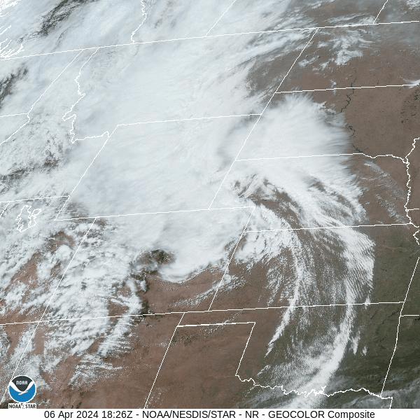
Winds died down on Sunday too as the storm blew northeastward into Nebraska, allowing for skiing and riding in powder and sun shine, making for a terrific spring day in Colorado.
Monday’s moment of ZEN:
Recap:
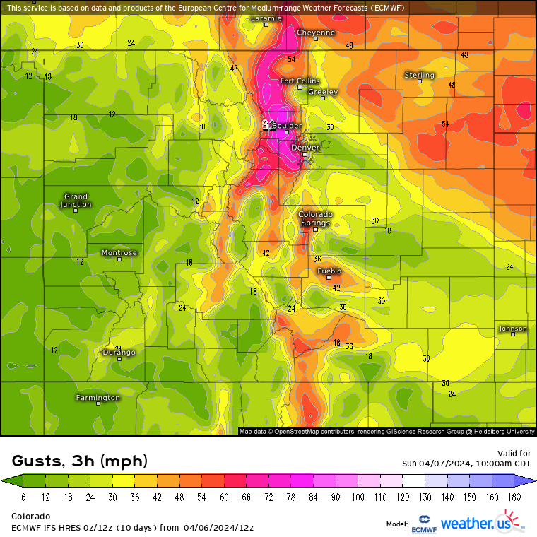
The ECMWF model forecasted wind gusts for Sunday afternoon in excess of 90 mph on upper peaks along the Front Range.
On Saturday and Sunday, winds exceeded 90 mph each day along summit tops and in the foothills of the Front Range. Up at at Eldora, a wind gust of 44 mph was recorded around 5 p.m., Saturday, and a 52 mph gust was recorded at 3 a.m., Sunday. A wind gust at Loveland Ski Area was recorded at 47 mph around 10 a.m., Sunday, but a wind gust of 91 mph was recorded at Copper Mountain on Saturday afternoon.
However, the wind died down by last chairs and a return to spring-like weather begins Monday.
Wolf Creek Ski Area was able to close out their season with a powder day, but fell short of being ‘most snow in Colorado’ this season as they recorded a season total of 325 inches — Steamboat (378″) and Winter Park (343″) will mostly like claim the No. 1 and No. 2 spots respectively for the season.
Forecast:
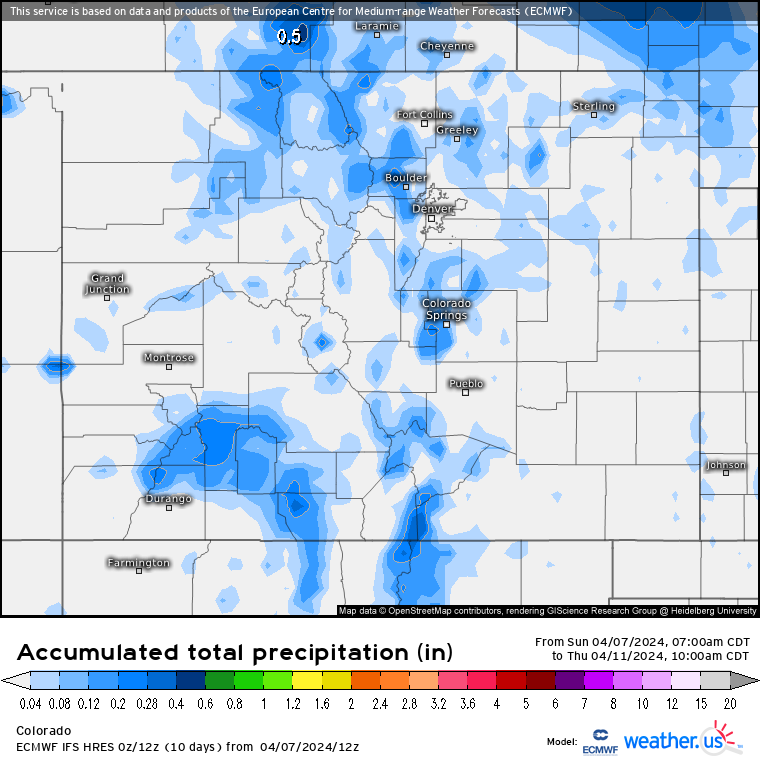
From Monday to Friday, mostly dry weather and warmer temperatures are forecast for skiing and riding in Colorado, however, two weak disturbances look to bring between 1-3 inches of snow to the state — Monday night into Tuesday for the southern mountains (Purgatory and Silverton), and Tuesday night through Wednesday for the northern Front Range (i.e. Eldora, Winter Park).
The Monday night storm is forecast to pass through on a wave of energy cut-off from a larger low pressure system spinning, again, around southern Nevada/western Arizona, bringing some moisture to the southern mountains.
The Tuesday night into Wednesday storm is forecast to pass through from a system moving on a west to east flow in Montana, sliding moisture far enough south to grace the northern Front Range mountains.
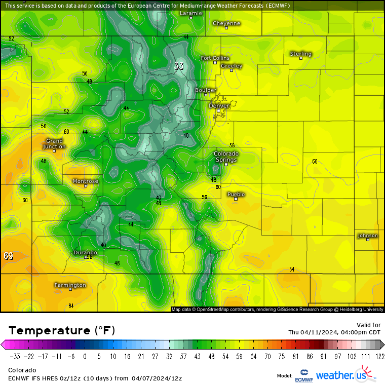
On Thursday and Friday, expect warming conditions and a return to spring. High temperatures around Colorado’s mountains each day will reach into the mid 40s and low 50s.
Long Range:
On Saturday, warm temperatures, wind and dry conditions start the day, but a slight chance of snow exists heading into Saturday night and Sunday for the central and southern mountains.

A storm system will begin making its way across southern California and western Arizona on Sunday, pushing moisture ahead of it into the Four Corners region and giving the San Juan mountains 1-3 inches.
By Sunday night the storm will be over Arizona and snow will increase overnight through Monday for all mountain regions.
Snow is forecast to continue on Tuesday and Wednesday. Snow accumulations totals will be dialed in better as the storm approaches, but early forecasts have totals between 2-10 inches in the northern mountains, 6-10 inches in the central mountains and 3-9 inches in the southern mountains.
Today’s 24 hour snow totals from Colorado resorts:
Arapahoe Basin – 0″
Aspen Mountain – 0″
Aspen Highlands – Closed for season
Beaver Creek – 0″
Breckenridge – 0″
Buttermilk – Closed for season
Cooper – Closed for season
Copper Mountain – 0″
Crested Butte – Closed for season
Echo Mountain – 0″
Eldora Mountain – 0″
Granby Ranch – Closed for season
Hesperus – Closed for season
Howelsen Hill – Closed for season
Kendall Mountain – Closed for season
Keystone – Closed for season
Loveland – 0″
Monarch – 0″
Powderhorn – Closed for season
Purgatory – 0″
Silverton – 0″
Snowmass – 0″
Steamboat – 0″
Sunlight – Closed for season
Telluride – Closed for season
Vail – 0″
Winter Park – 0″
Wolf Creek – Closed for season