Series of 3 winter storms march across Colorado over next 10 days | Whiteout snow report
Snow accumulations of 10-14 inches forecast heading into Christmas
A series of snow storms are making their way into Colorado over the next 10-12 days ahead of Christmas, with a couple of lulls in the action.
Light accumulations from each system will add up with time, increase snowpack and provide fresh refills every few days in Colorado’s high country.
Recap:
Snow ended midday Tuesday with additional accumulations in the northern mountains of between 1-3 inches, in the central mountains between 1-3 inches, and in the southern mountains between 1-3 inches.
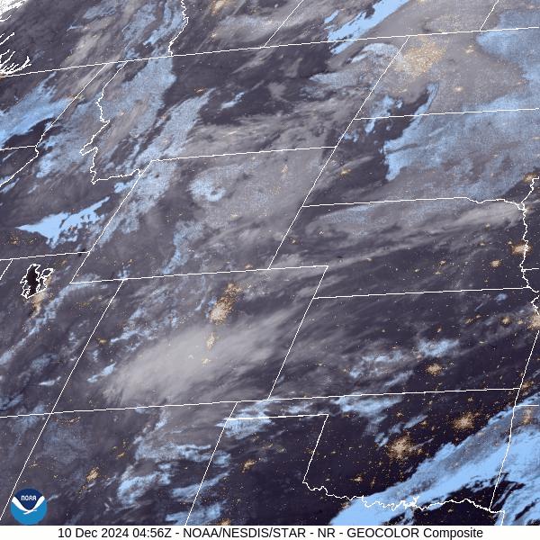
The last remnants of the storm pushed through Colorado early Tuesday morning, which led to clearing in the afternoon and evening hours in southern Colorado. But a second wave of energy in Nebraska and Wyoming spilled into northern Colorado in the afternoon, bringing amplified winds to the Front Range.
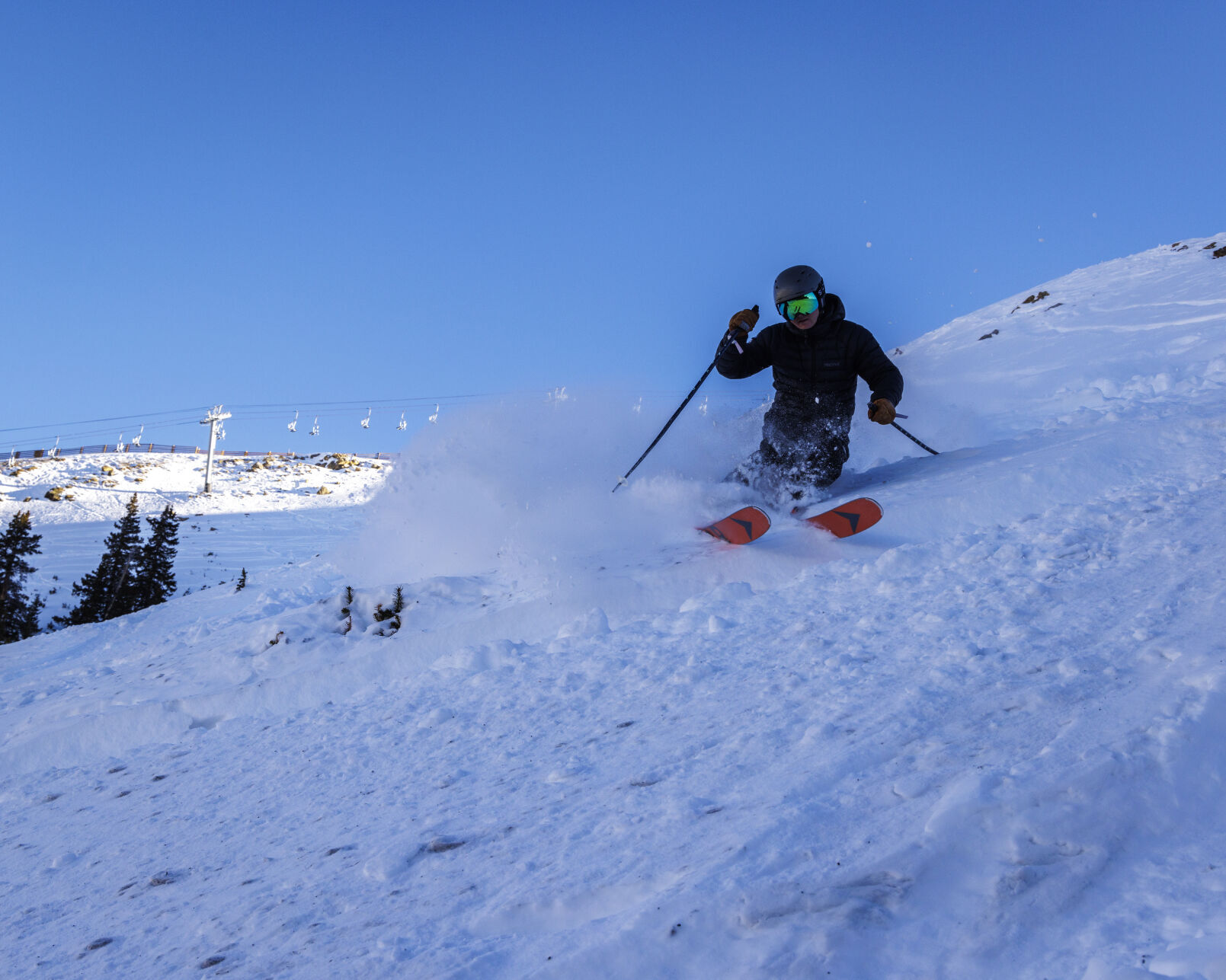
Wind and cold plagued Colorado’s ski areas and resorts all day, especially east of the Continental Divide.
The National Weather Service in Boulder recorded a high of 19 at Copper Mountain and the NWS office in Grand Junction recorded a high of 21 at Aspen.
Wolf Creek Ski Area in southwestern Colorado reported a high of 8, and the high at Loveland Ski Area in Clear Creek, County was 5.
Winds at Loveland blew from the west-northwest at 19 mph, with gusts to 36 mph shortly after sunset.
Forecast:
On Wednesday and Thursday, the forecast stays the same with clear skies reappearing and warming temperatures each day. Highs on Wednesday will be in the high 20s at most base areas and mid-30s on Thursday.
The ECMWF forecast model from Tuesday morning forecasts for snow to develop late night Thursday into Friday morning.

Snow returns to northwestern Colorado for a quick shot of between 1-3 inches around Steamboat and Howelsen. Backcountry spots on Cameron Pass and in Rocky Mountain National Park could receive similar totals by Friday evening.
The northern end of the southwestern mountains around Silverton and Telluride might pick up 1-2 inches of snow as well.
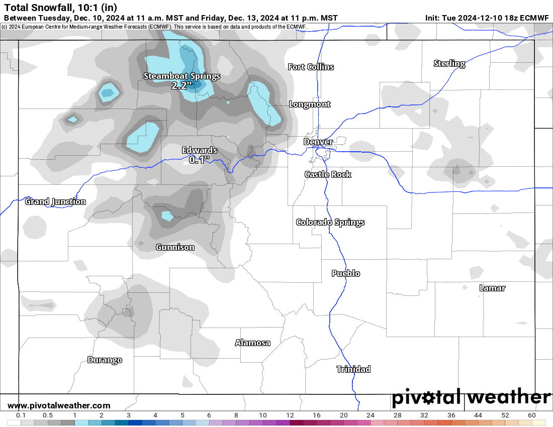
Saturday is forecast to be a sunny and dry day ahead of the second storm entering the state Sunday lasting through Monday night.
This storm is forecast to bring snow accumulations to the northern mountains of between 3-6 inches, in the central mountains between 2-4 inches, and the southern mountains between 1-3 inches (mostly in the northern San Juan Mountains).

Tuesday could be a soft/light powder day in the northern, western, and central mountains. Ski areas along Interstate 70 from Powderhorn to Loveland and north into Grand, Summit, Eagle, and Routt counties are forecast to receive the highest amounts.
Long range:
Another wave of storm energy from Tuesday through Wednesday night focuses more on Southern Colorado, with potential snow accumulations in the southern mountains to the tune of 3-6 inches and in the central mountains 3-6 inches.
From Thursday, Dec. 19 to Monday, Dec. 23, the wintry weather is forecast to be calm ahead of potential snows heading into Christmas Eve and Christmas Day.
More details will emerge for this storm as the dates near, including duration, snow accumulation totals, and impacts on both holiday travel and road conditions.
Today’s 24-hour snow totals from Colorado resorts:
Arapahoe Basin – 0″
Aspen Highlands – Opens Dec. 14
Aspen Mountain – 0″
Beaver Creek – 0″
Breckenridge – 0″
Buttermilk – Opens Dec. 14
Cooper – 0″
Copper Mountain – 1″
Crested Butte – 0″
Echo Mountain – Opens in December
Eldora Mountain – 0″
Granby Ranch – 0″
Hesperus – Closed for the season
Howelsen Hill – 0″
Kendall Mountain – Opens Dec. 20
Keystone – 2″
Loveland – 0.5″
Monarch – 0″
Powderhorn – 0″
Purgatory – 0″
Silverton – Opens Dec. 28
Snowmass – 1″
Steamboat – 1″
Sunlight – 0″, Open weekends, 7 days a week Dec. 13
Telluride – 0″
Vail – 1″
Winter Park – 2″
Wolf Creek – 0″