


Arctic blast delays flights, drops several inches of snow
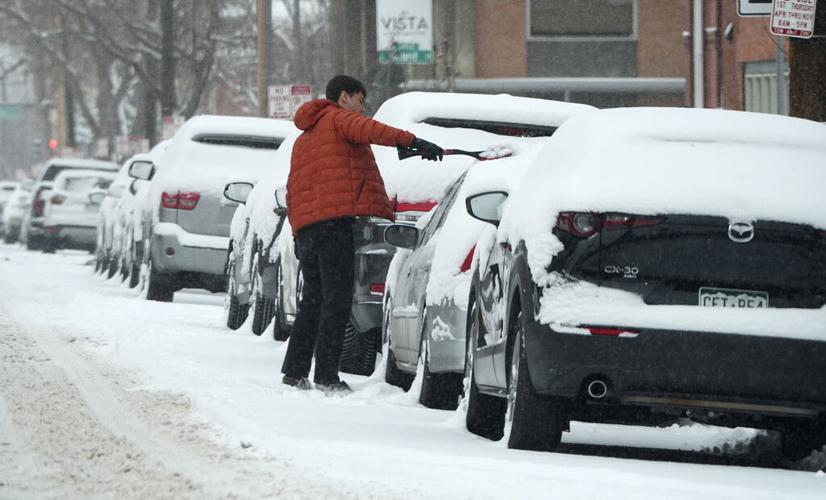
A motorist clears snow off his vehicle parked along First Avenue as a winter storm sweeps over the intermountain West, plunging temperatures into the single digits and bringing along a light snow in its wake Saturday, Jan. 18, 2025, in Denver. (AP Photo/David Zalubowski)
David Zalubowski
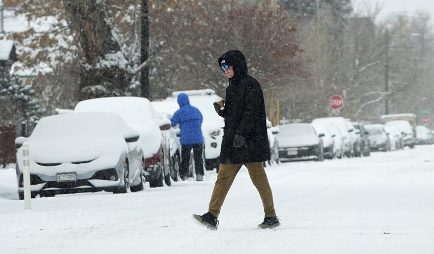


An artic blast rocked the Denver metro Friday night and Saturday morning, beginning a round of frigid temperatures stretching into next week.
The storm, which moved into the area late Friday evening, struck northern and central Colorado with bone-chilling winds, flying snow and brutal temperatures, with the high for the day reaching less than 15 degrees in the city.
The blast brought 4.5 inches of snow to Denver between 8 a.m. Friday and 8 a.m. Saturday, according to the National Weather Service Boulder.
Western areas saw higher totals, with west Lakewood reporting 7 inches and Golden reporting 6.4 inches.
Southwest of Denver also saw snow, with Ken Caryl getting 6 inches and Kassler receiving 7.
Southwest Golden received the most precipitation in the region with 13.5 inches reported around 7 a.m.
Flight delays
While the Denver International Airport only saw 2.2 inches of snow, an array of flights were delayed Saturday morning.
By 4 p.m. Saturday, 428 flights were delayed, both incoming and outgoing, at the airport, according to FlightAware.
Luckily for those heading out of town, no flights were cancelled at the airport Saturday.
Road closures
Though icy conditions may have given drivers headaches throughout the day, no major roads were closed in the area.
Snow plows continued throughout the region, keeping routes clear and travelers on the road.
The fun continues
But while the snow may have stopped, the bitter cold will continue until Wednesday.
The highs for Sunday are expected to stay in the single digits; another round of snow could develop in the evening. By Monday morning, the area could see another 1-2 inches of snow in the Denver area with a low temperatures plummeting to around minus 12 degrees, according to the National Weather Service.
Wind chill temperatures should reach the minus 20 degree range by Sunday night and could drop close to the minus 30s by Monday lasting into Tuesday.