


Here’s when the next round of ‘big snow’ is predicted to fall in Colorado
Coloradans have pushed through a stretch of absolutely frigid days that resulted in temperatures dropping below minus 40 degrees around the state – but more wintery weather is on the way.
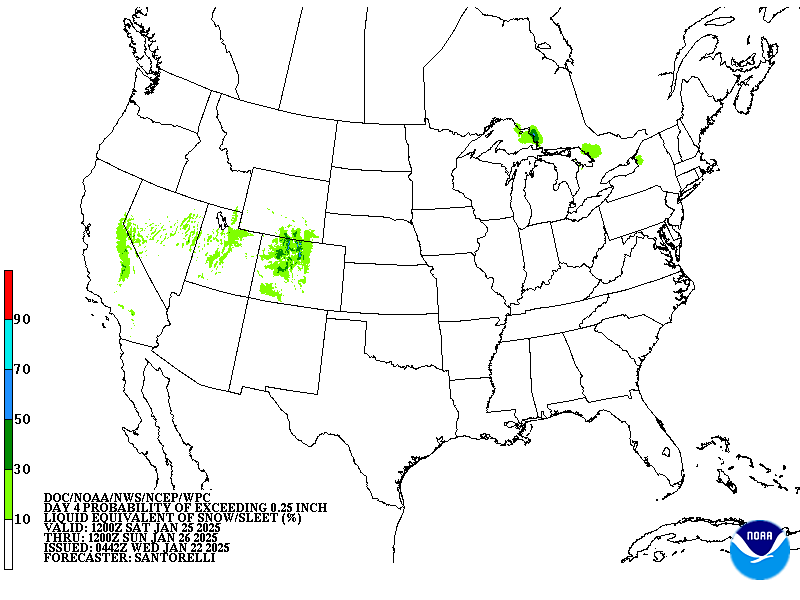
Mapping from the National Weather Service shows that snow should move into the state on Friday into Saturday, stretching into the following week. The forecasting service hasn’t published its official snowfall predictions quite yet, but some signs point to double-digit totals over the next few days.
With snow showers also expected in Colorado’s mountains throughout the week, OpenSnow predicts that Beaver Creek will get the most snow over the next five days – 8 inches. While skiers are likely to appreciate the fresh powder, that’s still not much snow in the grand scheme of things.
That said, Denver Gazette writer Jonathan Ingraham cites Pivotal Weather mapping when he calls for 11 to 16 inches being possible through the weekend into Monday. That’s a bit more powder, and if that higher-end forecast occurs, travel impacts would be more likely.
Despite big snow in November and some good snow around the start of the new year, Colorado’s snowpack continues to struggle. As of January 22, it’s at about 90 percent of the norm for the date at the statewide scale, though southwest Colorado has dipped to just 71 percent of what’s typical.
A more solidified forecast related to this incoming weekend snow will be published as those dates approach.
Find additional forecasting information on the National Weather Service website.
Get OutThere
Signup today for free and be the first to get notified on new updates.
PREV
PREVIOUS

Luxury ski club makes debut in Telluride with ski-in/ski-out access and rare whiskeys stocked
A private-membership luxury ski club has made its debut in Telluride, offering ski-in/ski-out access, a bar stocked with rare whiskey finds like Pappy Van Winkle Whiskey, and curated experiences that include heli-skiing. Dubbed ‘Crest Club,’ the new community is part of the Madeline Hotel & Residences, Auberge Resorts Collection. It’s located at 9,545 feet of […]

Colorado resort set to offer 'sunset' skiing events on two upcoming dates
This ski season, Copper Mountain will be hosting two ‘Sunset Ski Events’ on March 15 and April 19, allowing guests to ski as the sun sets over the mountains. Skiers will enjoy extended access to the Excelerator and American Eagle lifts from 4-7 p.m. as the sun sets, “showcasing some of the best that Copper […]