







Denver weather: Cold and snow return Monday as Arctic air funnels in mid-week
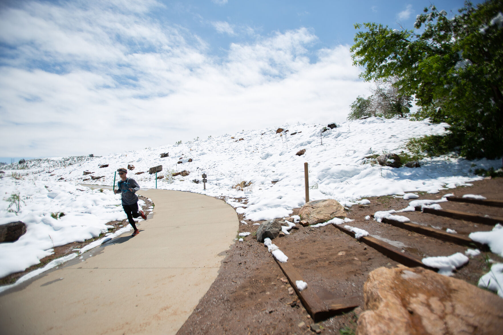
Cold and snow returns to Colorado on Monday, with Arctic air moving back into the Mile High City mid-week.
Denver residents can expect a 30% chance of snow after 5 p.m., according to the National Weather Service in Boulder. It’ll be partly sunny, with a high near 36, with light and variable winds becoming north northeast 8 to 13 mph in the morning. Winds could gust as high as 18 mph. New snow accumulation of less than a half inch possible.
Monday night expect snow, mainly after 8 p.m. It’ll be cloudy, with a low around 11. Northeast wind 6 to 9 mph, with gusts as high as 15 mph. Chance of precipitation is 60%. New snow accumulation of less than a half inch possible.
“An active weather pattern will continue for the week ahead, with bouts of mainly light snow,” the NWS said. “Slick and hazardous travel conditions can be expected during each one of these periods of snowfall, with the most impactful snow expected Tuesday night through Wednesday morning.”
Arctic cold will also arrive for the plains and foothills by late Monday, hold through Tuesday, and intensify Wednesday.
“Highs on Wednesday will likely hold in the teens, while overnight lows will drop into the single digits in many locales Monday night and Tuesday night, with areas of below zero readings for Wednesday night,” the NWS said.
Here’s the 4-day forecast from the National Weather Service.
Tuesday: A 40% chance of snow. Mostly cloudy, with a high near 27. North wind 5 to 10 mph, with gusts as high as 20 mph. New snow accumulation of less than a half inch possible.
Wednesday: Snow likely, mainly before 11 a.m. Mostly cloudy, with a high near 21. Chance of precipitation is 70%.
Thursday: Sunny, with a high near 39.
Friday: A slight chance of snow before 11 a.m., then a chance of rain and snow. Partly sunny, with a high near 50.