


16″ of snow forecast in Colorado from ‘prolonged snow event’ as six-day storm concludes
Whiteout snow report
Colorado’s high country has seen snowfall totals above four to five feet in some spots over the last four days, and more is still coming in.
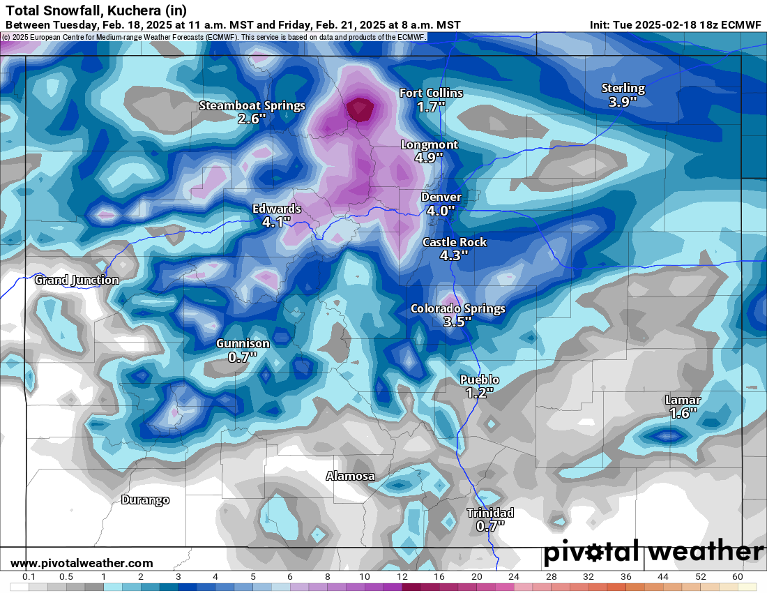
The ski areas and resorts are forecasted to receive one last shot of snow from Wednesday night to Friday morning, concluding the prolonged snow event that started six days ago.
Accumulations will be most pronounced in the northern and central mountains, and an additional 16″ could fall by Friday afternoon.
Recap:
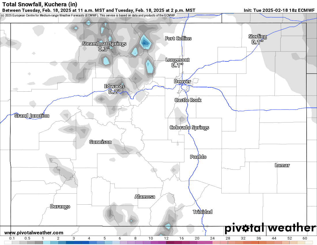
On Tuesday, additional snow fell across all three mountain zones, with between 1-9 inches in the northern mountains, 1-7 inches in the central mountains, and 1-2 inches in the southern mountains.
Temperatures also stayed on the warmer side as the Arctic air experienced along the Interstate 25 corridor did not creep into Front Range mountains much. In contrast, the National Weather Service in Boulder recorded a high temperature of 21 degrees at Lake Eldora while the high temperature at Denver International Airport was 12 degrees.
Forecast:
On Wednesday, skies will be partly cloudy in the morning ahead of the last shot of snow funneling into the state Wednesday afternoon and night.
Snow develops on a pseudo-disorganized system on northwesterly winds, but will bring enough moisture into the state to have the mountains lift it into the atmosphere and produce snow through Friday morning.
Forecast snowfall totals from most models from the snow event are between 3-16 inches in the northern mountains (heaviest in the southern Medicine Bow Range near Cameron Pass), between 3-8 inches in the central mountains, and between 3-6 inches in the northern San Juan Range of the southern mountains (Telluride and Silverton).
Snow is forecast to end Friday night, with skies clearing out, setting up Saturday for a leftover powder morning.
Long-term forecast:
Except for the slim chance storm energy drifts far enough south into Colorado from Saturday to Saturday, March 1, the state is trending toward having no snow accumulate in the high country.
Some forecast models have snow showers brushing the northernmost mountains on Tuesday night into Wednesday, otherwise, the forecast is trending away from a low-pressure system entering Colorado from the southwest on Thursday, Feb. 27, now showing that the storm might not arrive until Saturday, March 1.
More details about this storm heading into March will become clearer as the dates are near and more model runs have been performed.
Today’s 24-hour snow totals for Colorado ski resorts:
- Arapahoe Basin – 3″
- Aspen Highlands – 7″
- Aspen Mountain – 6″
- Beaver Creek – 2″
- Breckenridge – 3″
- Buttermilk – 5″
- Cooper – 1″
- Copper Mountain – 3″
- Crested Butte – 1″
- Echo Mountain – 0″
- Eldora Mountain – 0″
- Granby Ranch – 1″
- Hesperus – Closed for the season
- Howelsen Hill – 0″
- Kendall Mountain – 0″
- Keystone – 2″
- Loveland – 5″
- Monarch – 1″
- Powderhorn – 0″
- Purgatory – 0″
- Silverton – 1″
- Snowmass – 2″
- Steamboat – 3″
- Sunlight – 1″
- Telluride – 0″
- Vail – 5″
- Winter Park – 9″
- Wolf Creek – 1″
