


Up to 18″ of snow expected on some Colorado peaks this week
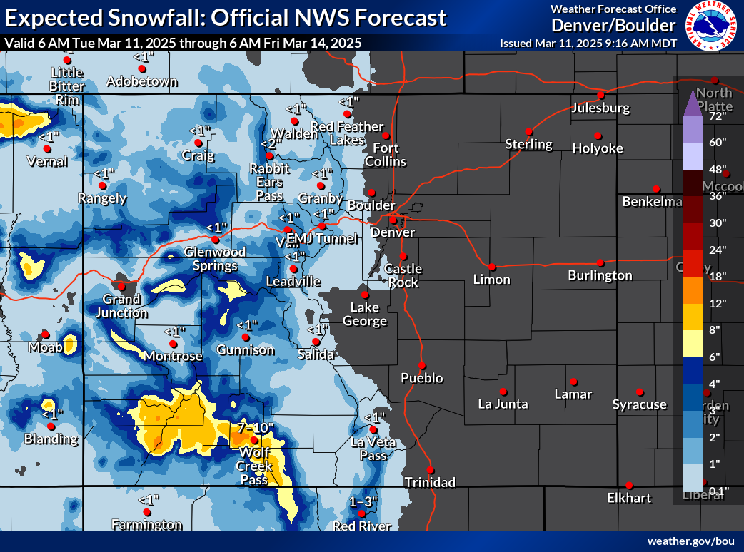
Another round of snow is setting up to hit Colorado, mostly expected to favor the southwestern corner of the state.
According to the National Weather Service, the San Juans should get peak totals of between 12 and 18 inches between Tuesday and Friday morning of this week. Outside of this area, snowfall will likely be limited to flurries to a few inches in most mountainous areas with the I-25 corridor staying snow-free. It is, however, worth noting that the National Weather Service ‘high-end’ snowfall scenario shows a bit more snow landing on peaks along the Western Slope and in the Central Mountains, though these totals are still limited to about eight to 12 inches.
See both scenarios depicted on the maps below:

According to OpenSnow, Wolf Creek Ski Area should get the most snow, at about 16 inches.
Currently, the statewide snowpack sits at 90 percent of the typical norm for March 11. Southwest Colorado, however, sits at just 69 percent of its regional to-date snowpack norm. This round of snow, favoring the southwest, will likely help to decrease the gap between snowpack of this abnormally dry season and what’s typically expected.
Find additional weather information on the National Weather Service website.

Get OutThere
Signup today for free and be the first to get notified on new updates.
PREV
PREVIOUS

Here are the 'top 5 pizza spots' in Denver, according to Yelp
From Detroit-style pies to pizzas baked in brick ovens, Denver has plenty of great options to grab a slice of pizza. According to Yelp’s Discover Collection (designed to help users keep track of businesses and share recommendations), here are five of the Mile High City’s top pizza restaurants: 1. Esters Virginia Village This pizza place […]
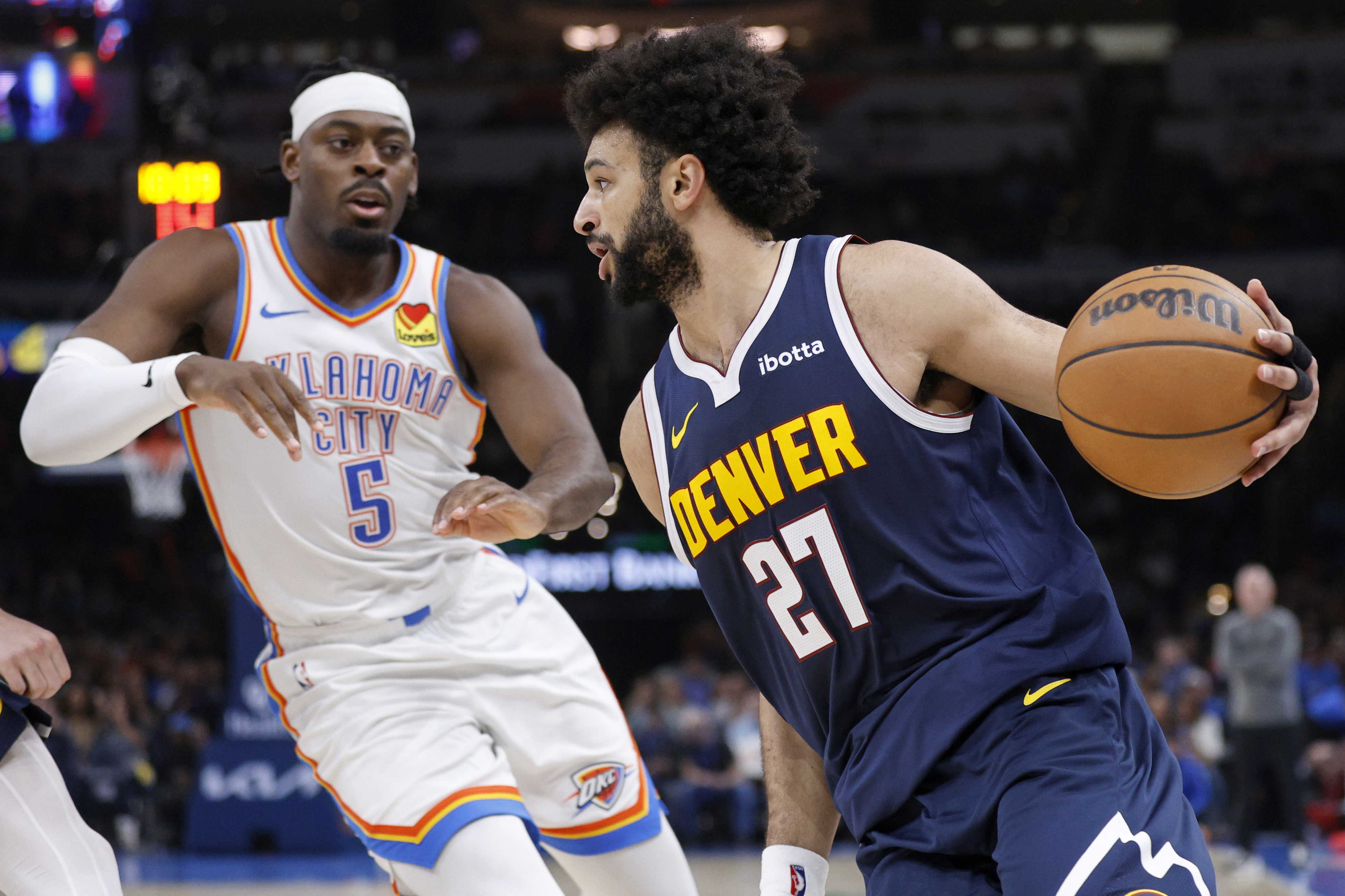
Jamal Murray makes most of Denver Nuggets' final opportunity against Oklahoma City's stingy defense
OKLAHOMA CITY — Some secrets to Jamal Murray’s success Monday against the Thunder are staying with the Nuggets’ second-leading scorer. “I can’t give you everything, man,” Murray responded to The Denver Gazette’s inquiry about his priorities when playing against Oklahoma City’s group of strong, physical defenders led by Luguentz Dort. Murray was kind enough to […]