


Latest snow storm drops 6-16″ across Colorado as March snows keep piling on
More snow forecast for upcoming weekend | Whiteout snow report

An intense low-pressure system dropped between 2-14 inches of snow in Colorado on Tuesday and today is a powder day across much of the state.
A lull in the storm action Thursday and Friday is forecast, then more snow Saturday and Sunday should fall before a quiet last week of March.
Recap:
Snow started falling in western and southwestern Colorado late morning after brief rain showers in places like the Grand Mesa, Grand Valley, and Uncompahgre Plateau in the early morning.
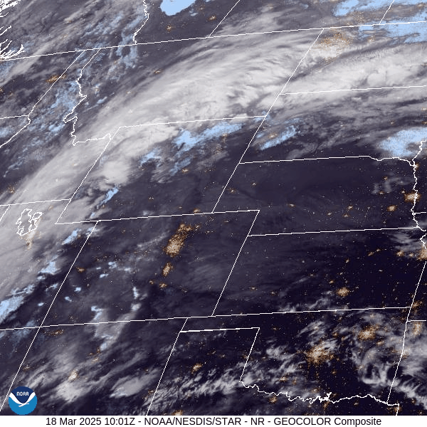
The low pressure that brought the snow moved across Colorado throughout the day and was centered in central Kansas by late evening, but not before it brought between 2-9 inches in the northern mountains, 4-9 inches in the central mountains, and 7-14 inches in the southern mountains.
Forecast:
• On Wednesday, light snow will continue on north and northwest winds as the low-pressure system continues to push eastward.
Additional snowfall accumulations for the northern mountains range between 2-4 inches, between 3-6 inches in the central mountains, and between 4-6 inches in the southern mountains.
• On Thursday, partly cloudy and breezy conditions will exist across the high country and temperatures will be in the high 20s to low 30s at the ski areas. On Thursday night a quick-moving wave will push across Colorado, dropping maybe an inch or two in the northern and central mountains.

• On Friday, the storm clears out early morning, with partly sunny and breezy conditions existing heading into nighttime.
• On Saturday morning, another snow system pushes through Colorado bringing snow showers to all three mountain zones, lasting through Sunday.
Snowfall from this storm is forecast to bring between 2-5 inches to the northern mountains, 1-3 inches in the central mountains, and 1-3 inches in the southern mountains.
Long-term forecast:
Next week, Colorado’s high country is still forecasting quiet.
Another storm system is looking like it will enter Colorado on Sunday, March 30, setting up one last snow storm to close out the month. More details about this possible storm will become clearer as the dates near and further forecast model runs render.
Today’s 24-hour snow totals for Colorado ski resorts:
Arapahoe Basin – 5″
Aspen Highlands – 8″
Aspen Mountain – 5″
Beaver Creek – 4″
Breckenridge – 6″
Buttermilk – 2″
Cooper – 6″
Copper Mountain – 5″
Crested Butte – 6″
Echo Mountain – 1″
Eldora Mountain – 3″
Granby Ranch – 3″
Hesperus – Closed for the season
Howelsen Hill – 4″
Kendall Mountain – 7″
Keystone – 4″
Loveland – 7″
Monarch – 7″
Powderhorn – 7″
Purgatory – 6″
Silverton – 14″
Snowmass – 5″
Steamboat – 8″
Sunlight – 4″
Telluride – 13″
Vail – 5″
Winter Park – 9″
Wolf Creek – 2″