


2 snow storms to bring 10-15 inches of snow to Colorado over next 10 days
Whiteout snow report
Light snow developed in Colorado’s high country late on Sunday, delivering a few inches to the northern, western and central mountains.
Unsettled weather is forecast across all three mountain zones throughout the last few days of April and first few days of May as two areas of low pressure work their way across the state during this time frame.
More snow will accumulate, leveling out the melting process some heading into the second week of May, but spring conditions can be expected daily as spring moves forward.
Recap:
Light snow fell late night Sunday/overnight Monday across some of Colorado’s higher terrain in the northern, western and central mountains, delivering between 1-3 inches of snow to the remaining ski areas still open.
Forecast:
• Snow showers will continue Monday across the western, northern and central mountains, bringing another 1-3 inches of snow to the slopes.
The low pressure system bringing storminess and snow to the state is spinning across eastern Nevada and western Utah, and will make its way southeastward into Arizona and New Mexico before exiting the desert southwest Wednesday afternoon.
Snowfall totals by Wednesday morning in the northern mountains are forecast to be between 1-4 inches, in the central mountains between 1-3 inches and in the southern mountains between 1-3 inches.

• Unsettled weather will continue throughout the week, with some light snow possible Wednesday through Friday, with Thursday having better chances for up to moderate amounts of snow falling for Friday’s first chairs.
• Snow develops in the southern mountains Saturday and spreads into the eastern mountains some into Sunday.
From Sunday to Monday the second and larger low pressure system will begin to bring augmented snow showers to the state lasting into Tuesday, May 6th afternoon.

Potential snowfall totals for Wednesday, May 7th morning in the northern mountains are forecast to be between 7-11 inches, in the central mountains between 4-9 inches and in the southern mountains between 5-10 inches.

Snow will continue on Wednesday in the northern mountains, particularly east of the Continental Divide.
Snowfall totals from the two main storms and subsequent lighter showers in the northern mountains are forecast to be between 9-15 inches, in the central mountains between 8-16 inches and in the southern mountains between 9-15 inches.
Long-term forecast:
• After Wednesday, May 7, Colorado’s forecast dries out for some time heading into mid-month, with very low chances of any substantial storms on the horizon.
Today’s 24-hour snow totals for Colorado ski resorts:
Arapahoe Basin – 1″
Breckenridge – 1″
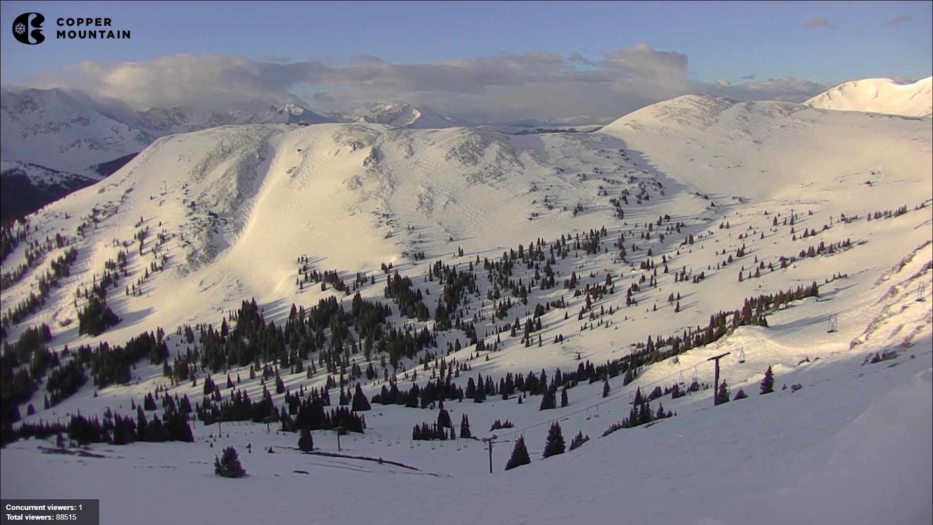
Copper Mountain – 1″
Loveland – 2″
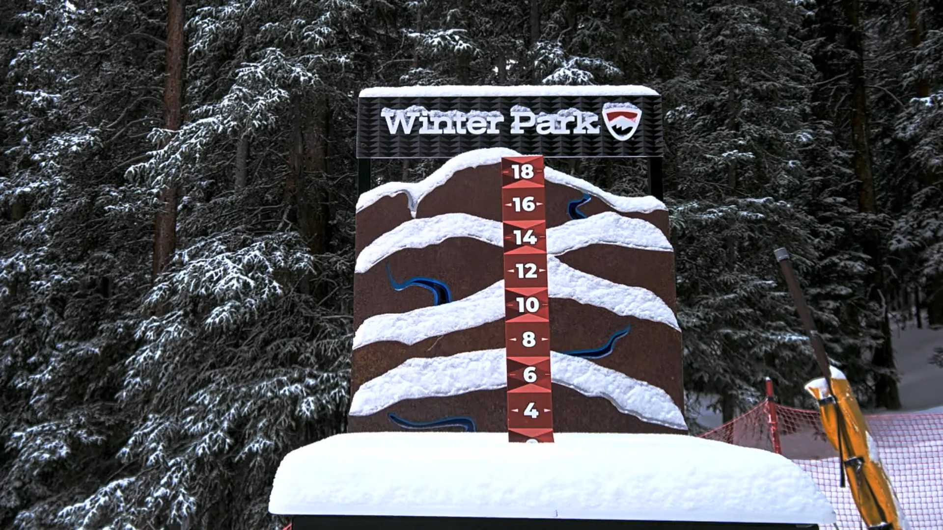
Winter Park – 2″
Aspen Highlands – Closed for the season
Aspen Mountain – Closed for the season
Beaver Creek – Closed for the season
Buttermilk – Closed for the season
Cooper – Closed for the season
Crested Butte – Closed for the season
Echo Mountain – Closed for the season
Eldora Mountain – Closed for the season
Granby Ranch – Closed for the season
Hesperus – Closed for the season
Howelsen Hill – Closed for the season
Kendall Mountain – Closed for the season
Keystone – Closed for the season
Monarch – Closed for the season
Powderhorn – Closed for the season
Purgatory – Closed for the season
Silverton – Closed for the season
Snowmass – Closed for the season
Steamboat – Closed for the season
Sunlight – Closed for the season
Telluride – Closed for the season
Vail – Closed for the season
Wolf Creek – Closed for the season
Get OutThere
Signup today for free and be the first to get notified on new updates.
PREV
PREVIOUS
’60 Minutes’ blames Paramount’s impending merger for producer’s resignation
CBS News anchor Scott Pelley blamed parent company Paramount for pushing out 60 Minutes’s executive producer Bill Owens. The hit Sunday program has run for almost 60 years and has only had three executive producers — until last week, when Owens made the shock announcement that he would resign from the show after 26 years, […]

I finally got to go to Casa Bonita – here's what I thought
I did it, y’all, I finally went to the iconic Casa Bonita restaurant in Lakewood. After months of seeing content go viral related to the reopening of the destination – really, it truly is a ‘destination’ – a friend was able to get some reservations for our group of six. I’ll be upfront about it […]