


Fishers Canyon plan to be considered at upcoming meetings

After more than a year of researching, planning and debating, a decision could soon be made on a new outdoor destination in Colorado Springs.
The city’s Trails, Open Space and Parks (TOPS) Working Committee is set to vote on a proposed master plan for Fishers Canyon Open Space at the group’s meeting Wednesday. If recommended, the Parks and Recreation Advisory Board would vote on approving the plan at its meeting the next day. Both meetings are set for 7:30 a.m. at 1401 Recreation Way.
The decisions follow a long series of talks over the open space acquired in 2021 — 343 acres rising behind the Broadmoor Bluffs neighborhood on the city’s southwest side, bordering Cheyenne Mountain State Park and Pike National Forest. The talks have been contentious at times.
Some neighbors have pushed back against the plan, which foresees trailhead parking through a gate at the end of a residential street. An online petition with 560-plus signatures outlines what are described as “grave concerns” regarding wildfire risk, traffic and a perceived lack of enforcement.
Parks Department officials delayed decision-making to talk and visit individually with neighbors while adjusting parts of the 104-page master plan. But “the neighbors continue to believe that approval of this plan is premature in light of serious safety concerns that remain unanswered,” read a letter sent to representatives.
Deputy Fire Marshal Kris Cooper has acknowledged people as a leading cause of fire. He also recognized the open space bringing “more eyes” and “human detectors” to go with monitors at Cheyenne Mountain Space Force Station and Fort Carson.
“I would say adding population to this area is not a bad thing. In fact, it’s probably a benefit for us as a fire department,” Cooper said.
In the case of evacuation, a Parks Department FAQ cites modeling that “showed minor additional vehicular delays (seconds) with full parking lots.”
The plan calls for 69 parking spaces to be built initially, with up to 110 possible if demand dictates. This is part of the plan’s “adaptive” approach — what some have criticized as “reactive” rather than “proactive.”
A proposed trail map shows 9-10 miles, including a key segment of Chamberlain Trail, envisioned to span the city’s backdrop between Cheyenne Mountain and Blodgett Peak. Also envisioned is Fishers Canyon Trail, the upper portion of which would be hiking-only and stretch to the state park.
Those two trails could create future access points; neighbors have wished for more beyond the residential street. But the street is the only public right-of-way available, the city’s FAQ reads: Other points “are restricted due to private property, private HOA managed neighborhood streets and highly restricted Department of Defense property.”
Proponents of the plan have countered critics by saying development would have been a worse fate for the open space, and they’ve pointed out the tax-funded land being for all.
Said one proponent, Medicine Wheel Trails Advocates Executive Director Cory Sutela: “Everyone’s voice in this process should matter the same, and obviously the people living next to it are extra interested, but we’re all interested. This is really an amazing place.”
Get OutThere
Signup today for free and be the first to get notified on new updates.
PREV
PREVIOUS
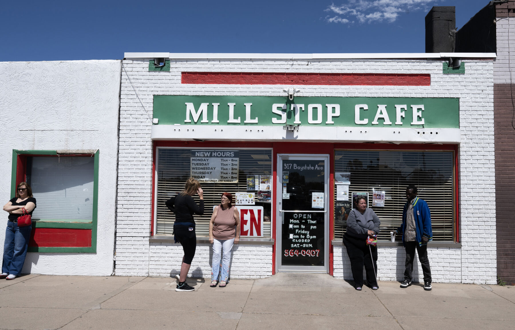
Generations of family have made Pueblo's Mill Stop a must-stop | Craving Colorado
PUEBLO • It’s not your typical wait list. It’s Mark Mares’ wait list, a sheet of paper that grows all afternoon with names he knows. The owner of the Mill Stop Cafe does not have to ask most who pop their familiar faces through the door before joining the line spilling outside. It’s the common […]
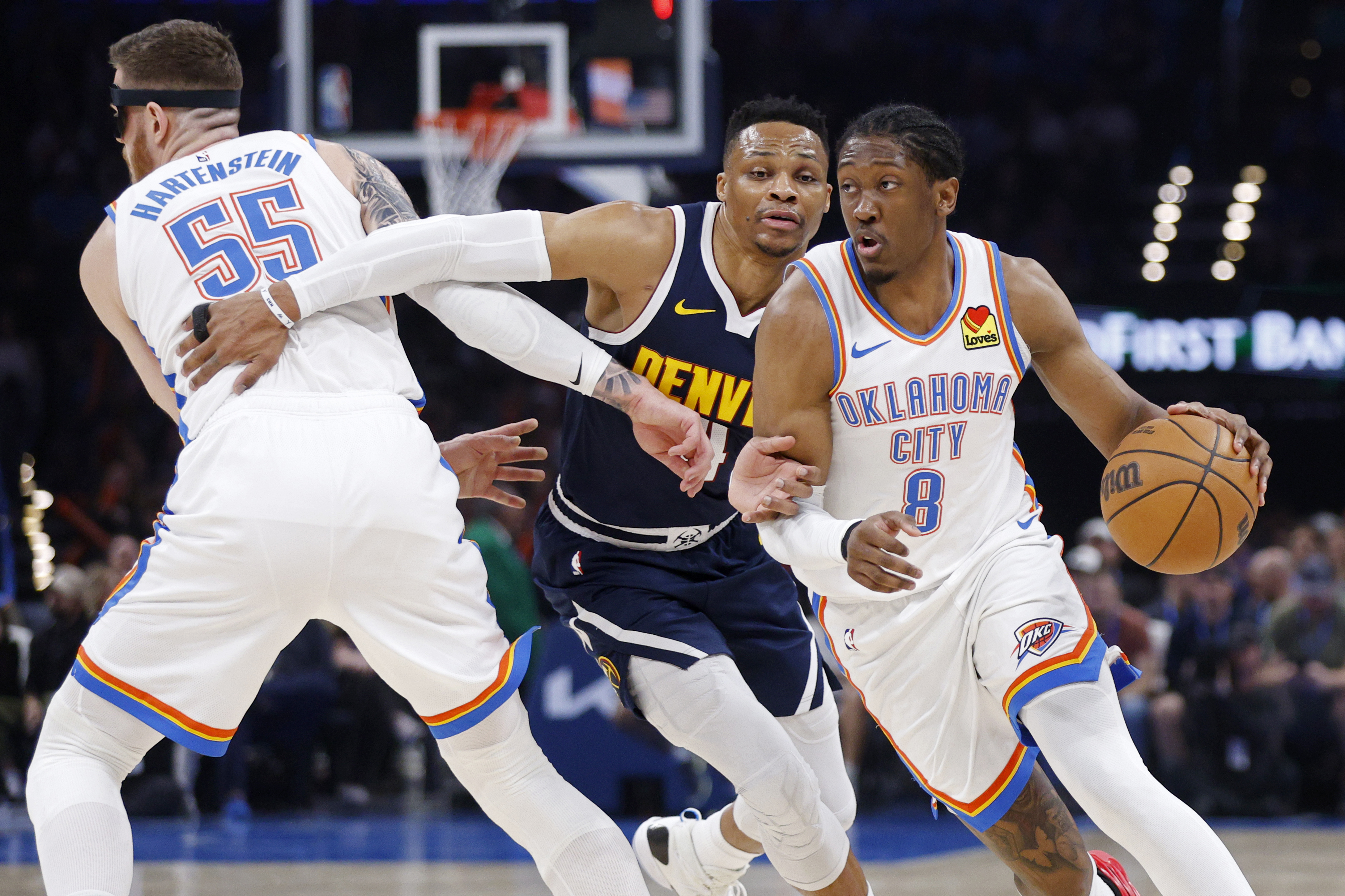
Denver Nuggets vs. Oklahoma City Thunder | The Denver Gazette's predictions
The Denver Gazette sports staff picks the NBA playoffs series between the No. 4-seeded Nuggets and top-seed Oklahoma City Thunder: Paul Klee, sports editor Series pick: Nuggets in 7 As readers of this space have known for a long time, for as long as Nikola Jokic is engaged and able, I won’t pick against the […]