


New mapping tool aims to be ‘game-changer’ for Colorado recreation

Courtesy photo
For adventure in Colorado and across the country, a new online tool seeks to be “a game-changer.”
That’s the word from Ariel Doumbouya, the U.S. Geological Survey specialist behind the agency’s 25K Recreational Topos. The name is for the scale of the maps, in which one inch represents 25,000 inches on the actual ground.
According to a news release: “The maps are highly detailed, allowing users to see subtle changes in terrain and plan routes that match their skill level, time constraints and interests.”
Trails and waterways are emphasized, along with trailheads, campsites, picnics and other amenities known by data compiled for the National Map. That’s a product maintained by the USGS, in collaboration with other governmental, academic, nonprofit and industry partners.
The 25K Recreational Topos, meanwhile, are “tailored specifically for recreational users,” the news release explained.
“They empower adventurers to explore the outdoors with greater confidence, insights and awareness of their surroundings,” Doumbouya said.
Using USGS’s topoBuilder app (topobuilder.nationalmap.gov) one can “grid” certain areas of interest and order detailed maps of those areas. The maps are emailed as PDFs.
The news release also noted the maps “can be integrated with GPS devices or mobile apps, providing real-time navigation in the field.”
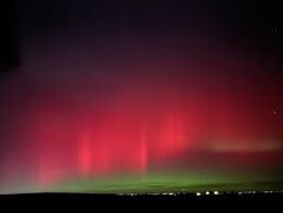
Northern lights round 2 – best places to view the show within 45 minutes of Denver
Emily Bejarano
emily-bejarano@gazette.com
Updated 1 day ago
If you missed out on the spectacular light show on Tuesday, here’s your opportunity to see them Wednesday with the best views A rare occurrence — although the spectacular light show has been sporadically appearing in Colorado in recent years...
Emily Bejarano
Reporter
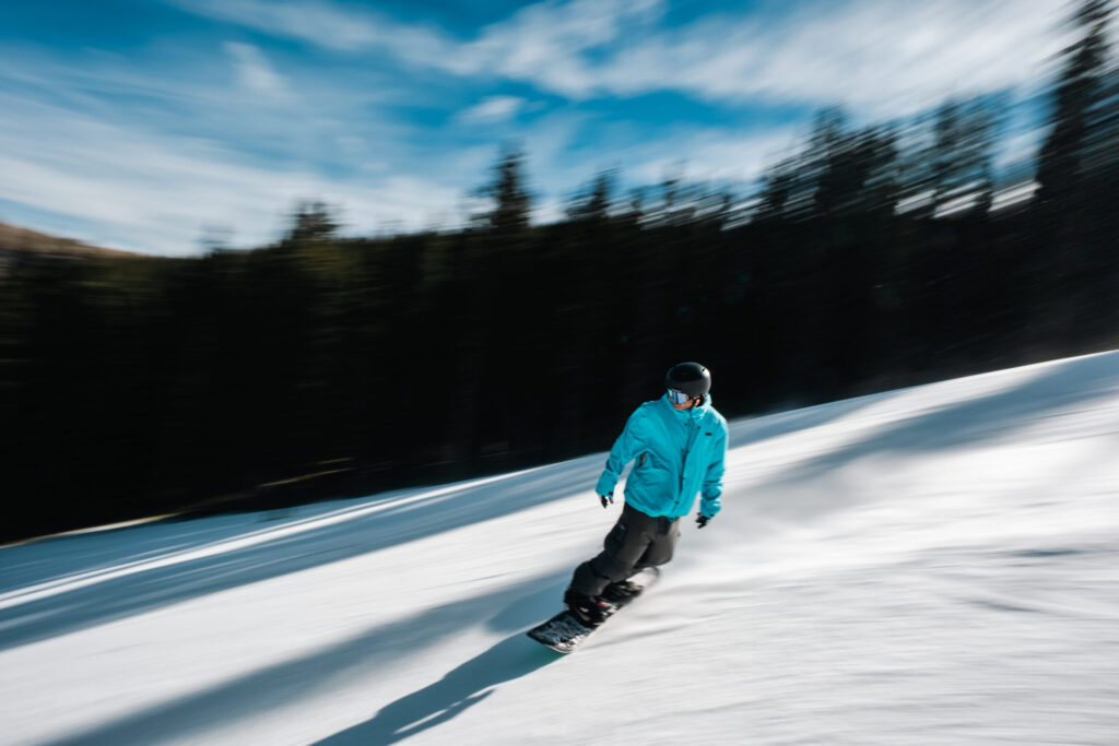
Latest snow storm for Colorado stalls, 6-12″ still forecast into next week
Jonathan Ingraham
jonathan.ingraham@denvergazette.com
Updated 2 days ago
The following 7- to 9-day period could deliver more snow daily up to Thanksgiving Day The constantly evolving weekend forecast for Colorado’s ski areas and resorts has changed, again, but remains promising as moderate amounts of snow will more than...
Jonathan Ingraham
Reporter
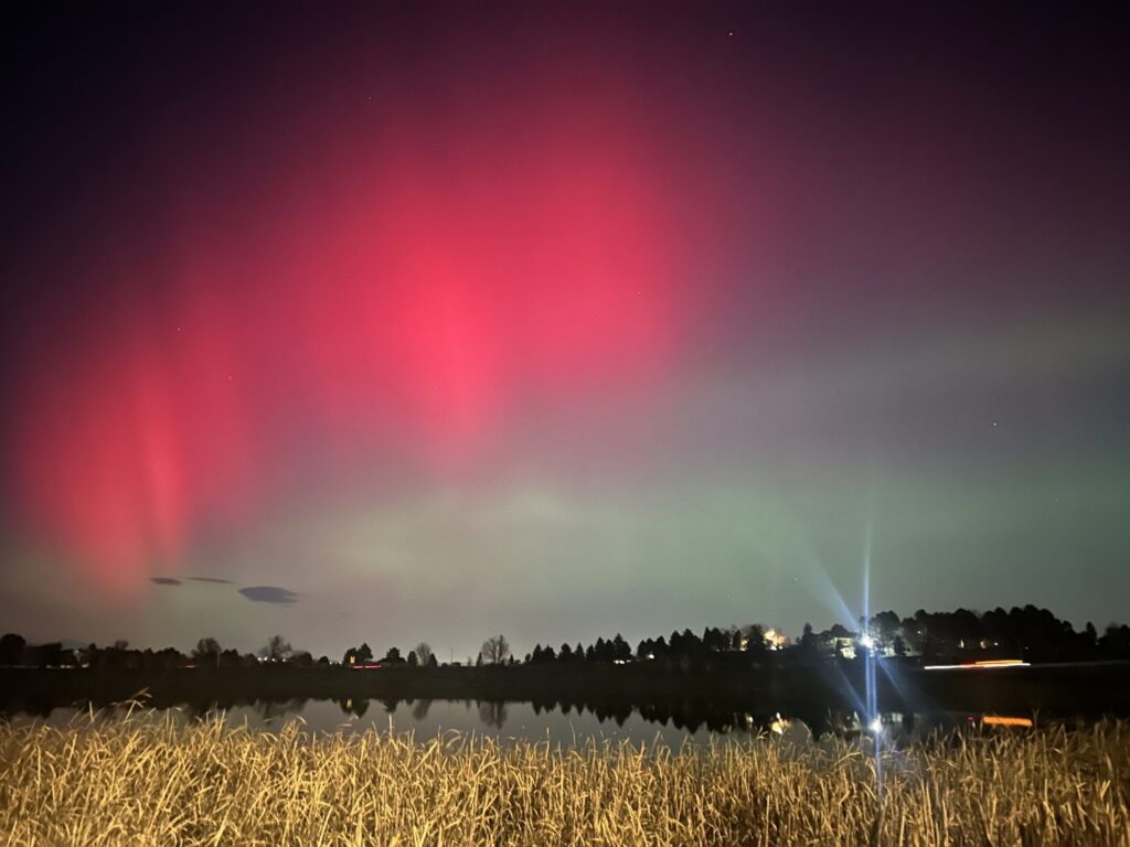
Northern lights visible across Colorado from severe geomagnetic storm, possible viewing again Wednesday night
Jonathan Ingraham
jonathan.ingraham@denvergazette.com
Updated 20 hours ago
The Northern lights, aka aurora borealis, were visible across Denver and Colorado on Tuesday night due to a severe geomagnetic storm that lit up the skies. The Space Weather Prediction Center on Wednesday issued a Level 4 (severe) geomagnetic storm...
Jonathan Ingraham
Reporter
Nederland’s purchase of Eldora in ‘final stages,’ deal expected to close by year’s end
Jonathan Ingraham
jonathan.ingraham@denvergazette.com
Updated 20 hours ago
The Town of Nederland’s purchase of Eldora Mountain Resort in Boulder County is in the “final stages” of approval, advancing the mountain town one step closer to ownership from current owner POWDR, according to town officials. The Nederland Board of...
Jonathan Ingraham
Reporter
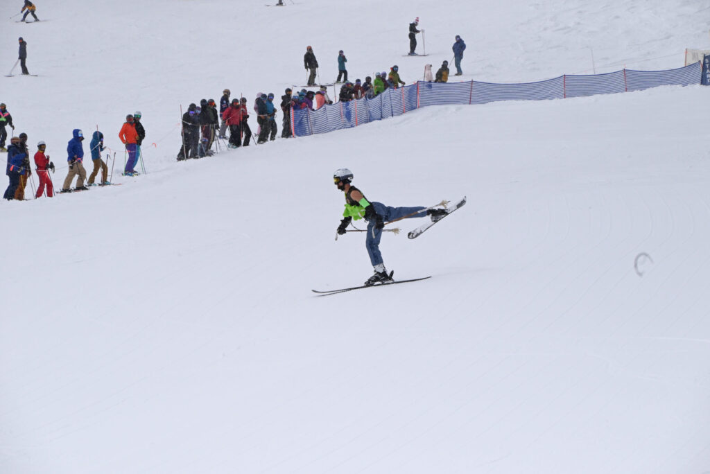
Once dismissed by the mainstream, ski ballet is finding new life in Colorado
Seth Boster
seth-boster@denvergazette.com
Updated 4 days ago
The sun was breaking through the clouds one day last April as Lara Rosenbaum stood atop a slope at Colorado’s Monarch Mountain. She took in the scene around her: Costumed skiers twirling around, their arms and legs moving in the...
Seth Boster
Reporter
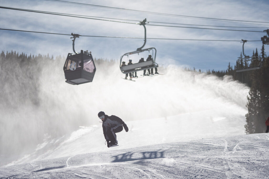
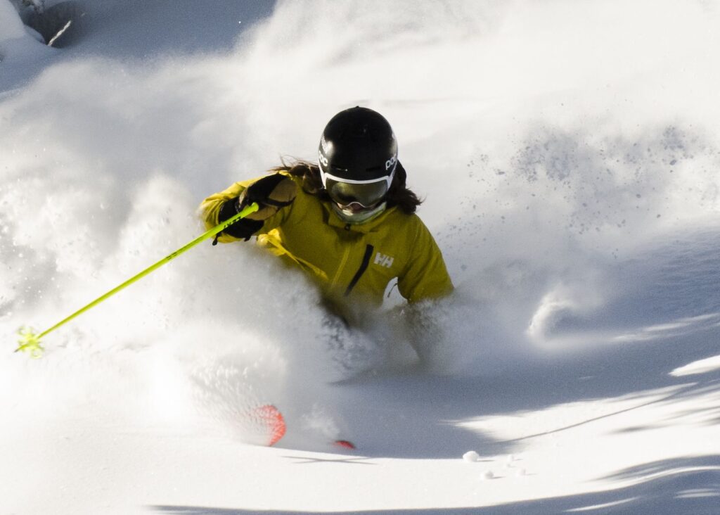
6-12″ of snow forecast for Colorado by weekend’s end, as dry November ends
Jonathan Ingraham
jonathan.ingraham@denvergazette.com
Updated 3 days ago
The first 13 days of November in Colorado’s high country will have been very dry and warm, with only a few inches of snow falling in the northern mountains. However, that is about to change as snow is in the...
Jonathan Ingraham
Reporter
6-12″ of snow forecast for Colorado by weekend’s end as dry November concludes
Jonathan Ingraham
jonathan.ingraham@denvergazette.com
Updated 3 days ago
The first 13 days of November in Colorado’s high country will have been very dry and warm, with only a few inches of snow falling in the northern mountains. However, that is about to change as snow is in the...
Jonathan Ingraham
Reporter
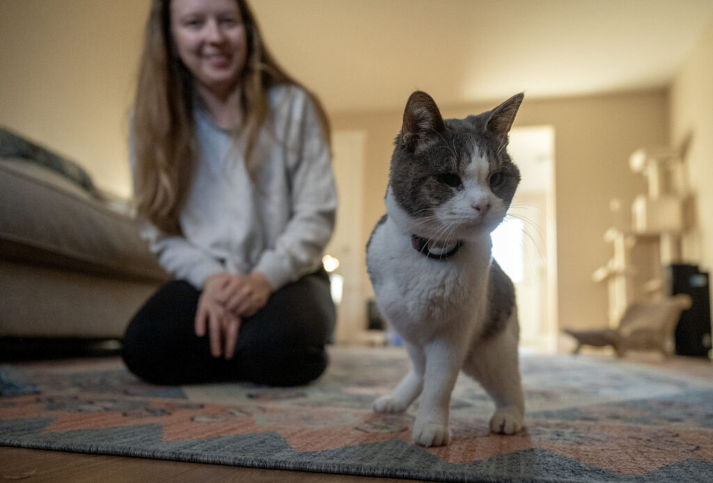
Lost cat sends Denver-area couple down rabbit hole of hope, heartbreak
Stephanie Earls
stephanie-earls@denvergazette.com
Updated 3 days ago
In the waning hours of Oct. 4, a three-legged house cat named Bambi slipped out the front door of her suburban Denver home and disappeared into the night. What ensued was a frenetic two-week odyssey for the owners, desperate and...
Stephanie Earls
Reporter