


Up to 10″ from first snow of October forecast for Colorado’s mountains
Copper Mountain fired up its snowmaking guns Wednesday in preparation for winter operations
The first day of October is the first day of the water year, marks the start of snowpack measuring in Colorado, and snow is in the forecast for the high country.
The first October snow event is forecast for the Saturday and Sunday, with the possibility of measurable snow down to 7,500 feet for several locations in Colorado’s mountains.
To make skiers and riders even more happy, Summit County ski resort Copper Mountain tested its snowmaking guns underneath the Super Bee and Excelerator chair lifts Wednesday morning as winter preparation plans begin.

- From early Saturday morning through Monday morning, two storm waves are forecast to sweep across Colorado, one on Saturday and the other Sunday night into Monday, bringing snow to all three mountain zones.
Forecast models from the European Center for Medium-range Weather Forecasts (ECMWF) have the heaviest snow falling in the southern mountains – San Juans mostly – with accumulations of between 6-10 inches by Monday morning.
Purgatory, Telluride and Silverton should receive the most snow as this storm pushes moisture on northeastern flows as a low pressure moves across the northern part of Colorado.
- Further north, the central mountains should see less snowfall, with between 2-4 inches possible, and in the northern mountains between 2-5 inches with the heaviest snowfall along the Continental Divide and Front Range mountains west of Denver and Fort Collins.
- More snow is possible heading into the first full week of October, especially around Friday, Oct. 10 – Sunday, Oct. 12.
Overnight temperatures are falling below 32 degrees in small amounts each night above 9,000 feet, but still need to become more regular for the ski areas to regularly make snow each night to build up bases for skiing and riding to occur.
Copper Mountain tested its snowmaking equipment up high under the Super Bee and Excelerator chairlifts Wednesday morning, blowing snow onto Copperopolis and Rosie’s Run trails.
“Overnight temperatures dropped low enough for our snowmaking team fire up the snow guns early this morning, marking the unofficial start to the 2025–26 winter season,” Molly Glandt, Communications Coordinator at Copper Mountain said. “Crews will continue making snow at every opportunity over the coming weeks as we gear up for the season ahead.”
Last winter was a below-average snowpack season, with the state recording the fourth-lowest snowpack in last 40 years and the state’s snowpack reaching it’s highest overall percentage-of-median average in mid-January at around 95%.
As reported by Denver Gazette news partner 9News’ meteorologist Chris Bianchi on Sept. 16, he said “coming off of a generally subpar snow season with an unusually fast snow melt, a weak La Niña could set the stage for another subpar season, especially for our southern mountains.”
Bianchi also said last winter’s snowpack featured a well-below average snow season for the southern mountains, specifically the San Juans and the Sangre de Cristos (generally 60-70% of average snowpack), while the state saw slightly below average snowfall across the central and northern mountains (generally 80-90% of average).
“That’s a classic look for a La Niña winter in Colorado,” Bianchi said.
2024-25 season snowfall totals for Colorado ski resorts:
- Arapahoe Basin – 287″
- Aspen Highlands – 292″
- Aspen Mountain – 240″
- Beaver Creek – 250″
- Breckenridge – 326″
- Buttermilk – 163″
- Cooper – 221″
- Copper Mountain – 340″
- Crested Butte – 230″
- Echo Mountain – 73″
- Eldora Mountain – 219″
- Granby Ranch – 110″
- Hesperus – 0″, never opened
- Howelsen Hill – 85″
- Kendall Mountain – 147″
- Keystone – 256″
- Loveland – 327″
- Monarch – 222″
- Powderhorn – 196″
- Purgatory – 173″
- Silverton – 285″
- Snowmass – 277″
- Steamboat – 304″
- Sunlight – 153″
- Telluride – 223″
- Vail – 324″
- Winter Park – 384″
- Wolf Creek – 228″

Earlier start times: Arts organizations have seen the daylight
John Moore
john.moore@denvergazette.com
Updated 4 hours ago
Experts say audiences want to get home sooner, and companies are listening When it comes to going out for a show, 7 o’clock is the new 8 o’clock. Are we getting older? Or are our area arts leaders just getting...
John Moore
Reporter
Pick your poison: Mix and match activities for the perfect fall day in Denver
Emily Bejarano
emily-bejarano@gazette.com
Updated 5 hours ago
Choose your own adventure for the perfect fall date around Denver – mix and match fall-themed date ideas to suit your needs. Start with your breakfast or coffee Weathervane Cafe – If you need to start your day...
Emily Bejarano
Reporter
Arvada helps local businesses with crime, disasters
Sage Kelley
sage-kelley@denvergazette.com
Updated 6 hours ago
The City of Arvada continues its efforts to boost and maintain business within the city through two new funding programs to help businesses in times of crimes or disasters. Greater Arvada Chamber of Commerce and Arvada Economic Development Association (AEDA)...
Sage Kelley
Reporter
Pedestrian fatalities soar 50% in Denver, city officials say
Deborah Grigsby
deborah.smith@denvergazette.com
Updated 5 hours ago
The number of pedestrians who have lost their lives in traffic crashes has jumped by 50% over last year, according to city transportation officials. Year-to-date in 2025, 25 pedestrians have died on Denver streets compared to 16 during the same...
Deborah Grigsby
Reporter

Movie rundown for the weekend through Oct. 5: ‘The Smashing Machine’ opens
Carlotta Olson
carlotta-olson@denvergazette.com
Updated 8 hours ago
OPENING “Anemone” — (Drama, R, 121 minutes). A man goes on a journey in the Northern England woods to reconnect with his estranged hermit brother. “Bone Lake” — (Horror, R, 94 minutes). When a couple on vacation must share a...
Carlotta Olson
Reporter

Colorado steps up EV rebates as federal credits vanish
Scott Weiser
scott-weiser@denvergazette.com
Updated 7 hours ago
With the national electric vehicle incentives having expired on September 30 due to new federal legislation, Colorado is revving up its Vehicle Exchange Colorado program to keep EVs affordable, but only for buyers whose income is below...
Scott Weiser
Reporter
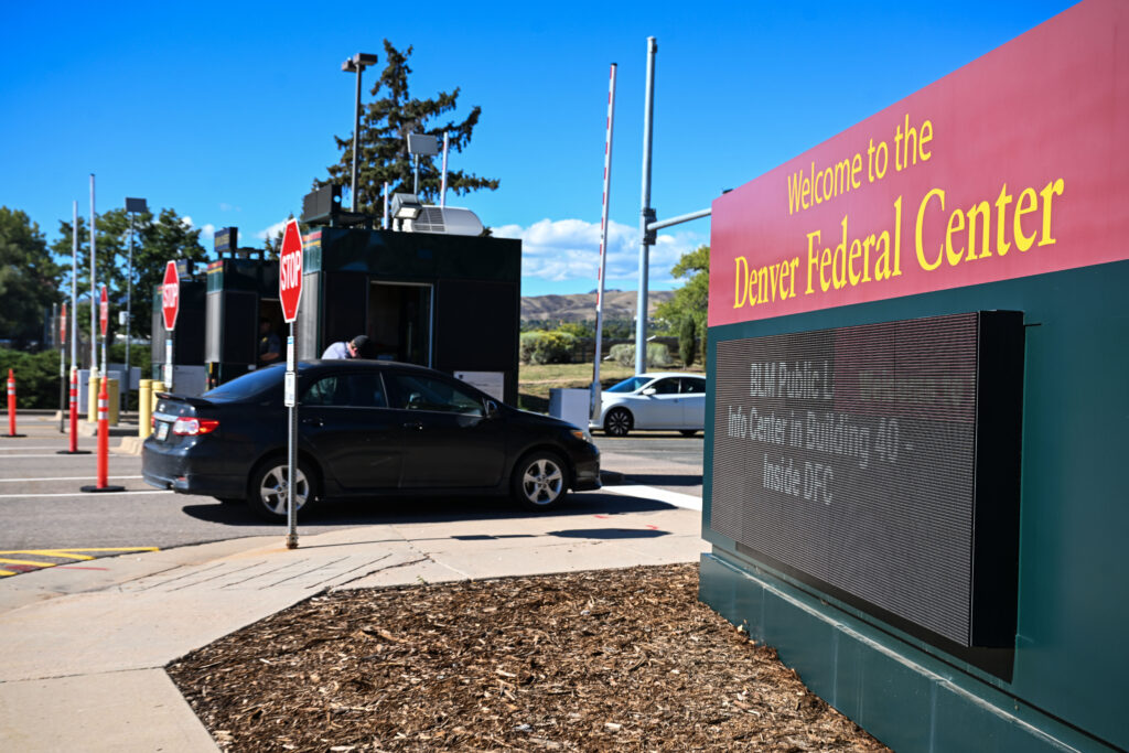
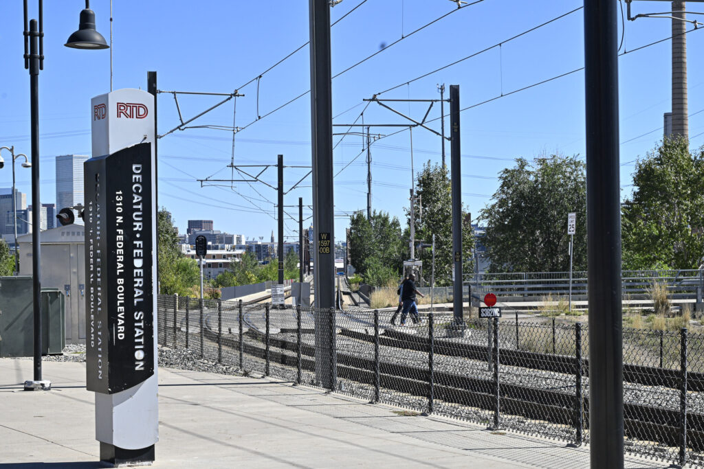
How many federal employees have been furloughed in Colorado?
The Denver Gazette
the-denver-gazette@denvergazette.com
Updated 6 hours ago
It remains unclear how many federal employees exactly have been furloughed or fired following the failure of Democrats and Republicans to reach a deal to fund government operations. But some information have begun to trickle in. A military spokesperson said...
The Denver Gazette
Reporter
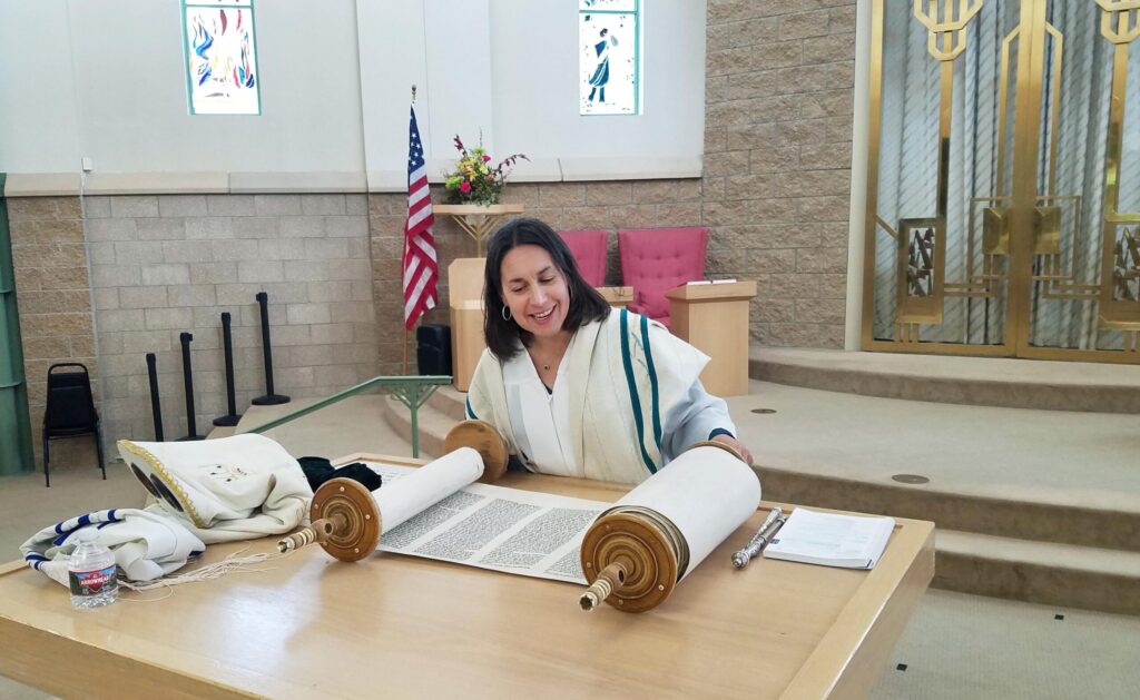
As Yom Kippur unfolds, Denver Jews are drawn into conversations about Gaza
Mark Samuelson
mark-samuelson@denvergazette.com
Updated 9 hours ago
As every year, the Jewish New Year is the moment Jews here in Colorado converge for family celebrations and flock to their congregations for worship on Rosh Hashanah and Yom Kippur. This year, it’s also a moment when events are...
Mark Samuelson
Reporter

Ski movie season in Colorado stokes the thirst for powder, starts Saturday
Jonathan Ingraham
jonathan.ingraham@denvergazette.com
Updated 9 hours ago
Ski movie season is back in Colorado and coming to a town near you, including two offerings from Colorado-based film companies Matchstick Productions of Crested Butte and Warren Miller Entertainment of Boulder. Teton Gravity Research’s movie “Pressure Drop” has been...
Jonathan Ingraham
Reporter

Denver Swifties: here’s where to celebrate ‘The Life of a Showgirl’
Kyla Pearce
kyla-pearce@denvergazette.com
Updated 11 hours ago
Taylor Swift releases her 12th studio album, “The Life of a Showgirl,” at midnight eastern time Thursday, or 10 p.m. local time for Denver area Swifties. Swift dazzled sold-out crowds of about 70,000 fans two nights in a row in...
Kyla Pearce
Reporter
PREV
PREVIOUS

Colorado will help furloughed federal workers claim unemployment benefits
As civilian federal workers in Colorado wait for word as to whether they will be furloughed by a federal government shutdown, the state’s Department of Labor and Employment is reaching out to aid workers in claiming unemployment benefits. The agency, which made the announcement early Wednesday, reiterated that many federal workers could be eligible for […]

Colorado labor agency says it's ready to assist federal workers affected by federal shutdown
The Colorado Department of Labor and Employment’s Unemployment Insurance Division said it is prepared to assist federal workers living in the state who have been furloughed due to the federal government shutdown. Some 54,300 federal workers live in Colorado, according to the agency. Not all of them will be affected by the shutdown, which began […]