


6 to 8 more inches of snow could hit mountain range in Colorado
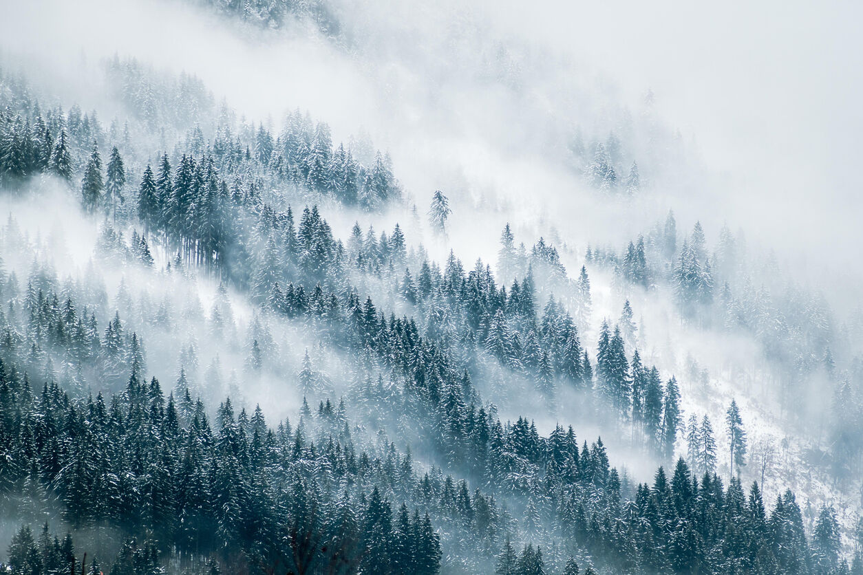
Another round of widespread snow (flurries) are set to hit Colorado this week, and while the state hasn’t really had a major winter storm yet this season, it’s a reminder of what’s on the way.
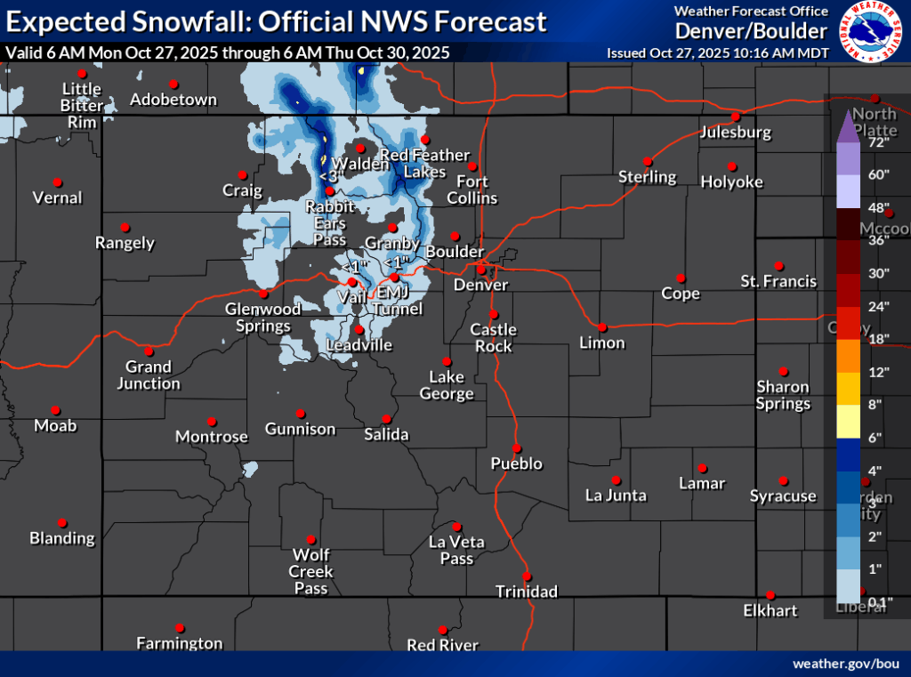
This round of snow should favor central and northern Colorado, with the Park Range north of Rabbit Ears Pass being most favored. In the ‘high-end’ scenario, this part of the state could get about six to eight inches of snow through Thursday, while the northern Front Range area gets about four to six. In that ‘high-end’ (10% chance) scenario, the rest of the northern and much of the central mountains get snowfall in the range of one to four inches.
The more likely ‘expected’ snowfall scenario calls for a smaller portion of northern Colorado getting snow in the range of one to six inches, with the most accumulation still expected in the Park Range.
See both forecasts depicted on maps from the National Weather Service below:

The relative lack of snow this year hasn’t stopped two ski areas from opening in October – Keystone, for part of the day on Saturday, and Arapahoe Basin on Sunday.
As snow gets underway, it’s important to pack your trunk for winter travel. Here’s our list of 27 items you’ll need.
Find additional forecasting from the National Weather Service here.
Get OutThere
Signup today for free and be the first to get notified on new updates.
PREV
PREVIOUS

109 counts of animal cruelty filed after pets seized from home with 'inches of feces' and dead kitten in freezer
According to an update from the Northglenn Police Department, 109 counts of animal cruelty have been filed related to an investigation that came to fruition the north-Denver metro city in July. On July 16, a search warrant related to suspected animal neglect and cruelty was executed at a residence near the Northglenn’s Wyco Park, with […]

Weekly Weather Outlook for Colorado: October 27 through November 2
Skies will be mostly sunny across Colorado this week with temperatures continuing to decrease as we move into chillier months. Here’s a look at daily temperatures across Colorado this week, courtesy of the Weather.com report: Monday: Expect a mix of clouds and sun, with some showers developing in the afternoon in the mountains. Tuesday: Skies […]