


6-12″ of snow forecast for Colorado by weekend’s end, as dry November ends
The first 13 days of November in Colorado’s high country will have been very dry and warm, with only a few inches of snow falling in the northern mountains.
However, that is about to change as snow is in the forecast by week’s end, which should begin to boost the state’s snowpack upwards.
Four more days of above-average temperatures, breezy conditions and no precipitation should be followed by four days of cold, breezy conditions and snow.
Additional storminess is trending toward the positive entering the Thanksgiving week, the week that seven additional ski areas or resorts open for the season.
Recap:
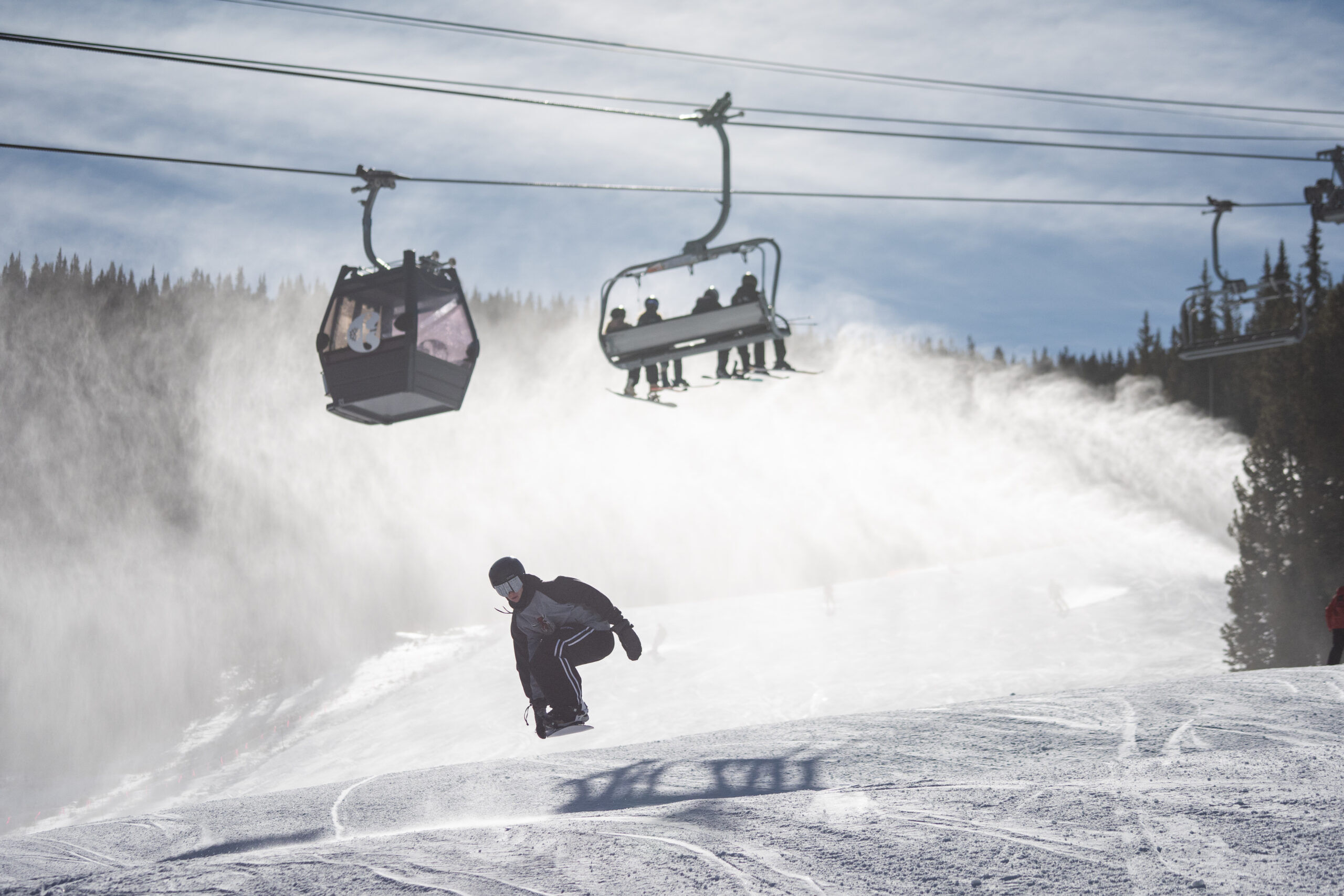
Three more Colorado ski resorts opened over the weekend as Breckenridge, Copper Mountain and Loveland all began spinning chairlifts, shushing skiers and riders up high to ride between 1-3 new open trails.
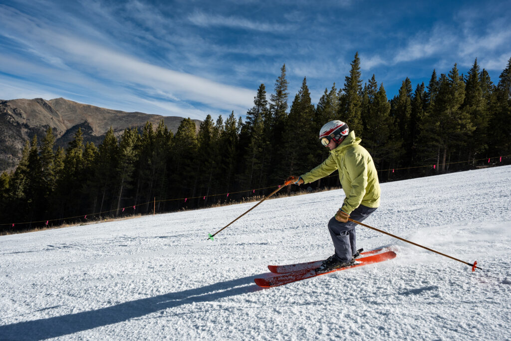
Temperatures were still very warm, however. The high temperature at Copper Mountain on Sunday was 43 degrees and at the Berthoud Pass summit it was 31 degrees.
Colorado’s snowpack:
Even though it is still early in winter 2025-26, Colorado’s snowpack is not doing well.

As of Sunday, Nov. 9, all of the state’s eight river basins except one, the South Platte, is below 25% of median snow water equivalent average, with the state’s median snowpack average at 19% and 0.3 inches of snow water equivalent respectively.
Currently this season’s snowpack is similar to winter 2016-17, with that winter season not reaching 1 inch of snow water equivalent until Nov. 22, 2016. However, winter 2016-17 did finish above average and by April 8, 2017 (the median peak date), 17.6 inches of snow water equivalent was stored in the snow, 0.9 inches above average.
Forecast:
From Monday through Thursday, both the ECMWF and GFS models forecast no snow moving into the state.
Temperatures are going to be warm during the day as high pressure builds over the Great Basin for that 4-day time frame. High temperatures will be in the low 50s at base areas and upper 30s to low 40s at resort summits.
Tuesday and Wednesday will be breezy as well, especially in the northern mountains, with wind gusts in the 30-40 mph range.

On Wednesday, a developing large low pressure system off the Oregon and Washington coasts is forecast to strengthen throughout the day, then push ashore Thursday. Although the brunt of the system will track north of Colorado and not pass directly over the state, it will bring moisture to the high country.
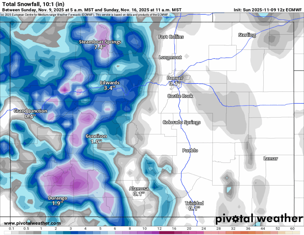
Starting Thursday night, this storm system is forecast to push a wave of energy across the state from the west, with snow falling in all three mountain zones and starting in the southern mountains first, then spreading to the central and northern mountains into Friday morning.
Snow showers are anticipated through Sunday morning as the slow moving storm pushes into Kansas and Nebraska.
Snowfall totals forecasted from the ECMWF from the multi-day storm in the northern mountains are between 4-12 inches with the highest totals in the Park Range (Steamboat) and Flattops, in the central mountains between 3-9 inches with the highest totals in Gunnison and Pitkin counties and in the southern mountains between 5-10 inches with the highest totals in the western southern mountains (Silverton, Purgatory and Telluride).
Long-term forecast:
Starting Tuesday, Nov. 18 morning and lasting through Wednesday, Nov. 19 evening, another snow event is possible for all three mountain zones.
This storm is trending toward being a southwest to northeast moving system based on current modeling, which usually benefits the southern and central mountains the most, however, the northern mountains should see some snow as the system ejects onto the Plains.
From Friday, Nov. 21 through Monday, Nov. 24, more storminess is possible for the state as a couple more waves of energy push across Colorado heading into the Thanksgiving week.
Colorado ski resorts’ planned opening dates and 24-hour totals:
Arapahoe Basin – 0″
Aspen Highlands – Dec. 13
Aspen Mountain – Nov. 27
Beaver Creek – Nov. 26
Breckenridge – 0″
Buttermilk – Dec. 13
Cooper – Dec. 10
Copper Mountain – 0″
Crested Butte – Nov. 26
Echo Mountain – TBD
Eldora Mountain – Nov. 14
Granby Ranch – Nov. 26
Hesperus – Closed for the season
Howelsen Hill – Nov. 29
Kendall Mountain – December
Keystone – 0″
Loveland – 0″
Monarch – Nov. 21
Powderhorn – Nov. 22
Purgatory – Nov. 22
Silverton – Private mountain after Dec. 1, Guided and Heli season Dec. 27
Snowmass – Nov. 27
Steamboat – Nov. 22
Sunlight – Dec. 12
Telluride – Nov. 27
Vail – Nov. 14
Winter Park – 0″
Wolf Creek – Open as soon as conditions allow