


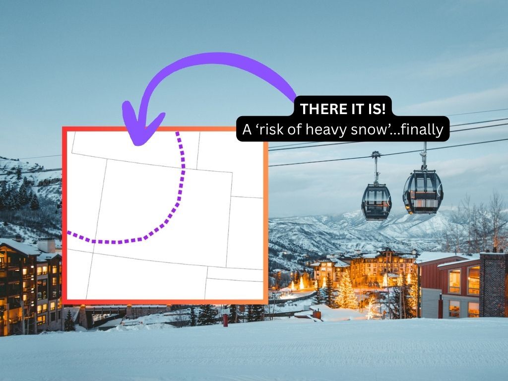
Colorado is officially on the NWS ‘risk of heavy snow’ map for 7 upcoming days
A gasp of fresh air is coming for Colorado’s winter slopesport enthusiasts with days of powder ahead.
As noted in prior reporting, the next two weeks should be pretty snowy in Colorado, with many of the state’s peaks expected to get about two feet of snow or more during this period. At least three waves of snow are expected through the end of the month – including one that’s currently underway – and while heavy totals can often be expected in February, this snow means a bit more amid a winter season of record-setting dryness that’s been taking place thus far (a new record for lowest snowpack since records started in 1987 has literally been set for 31 consecutive days at this point).
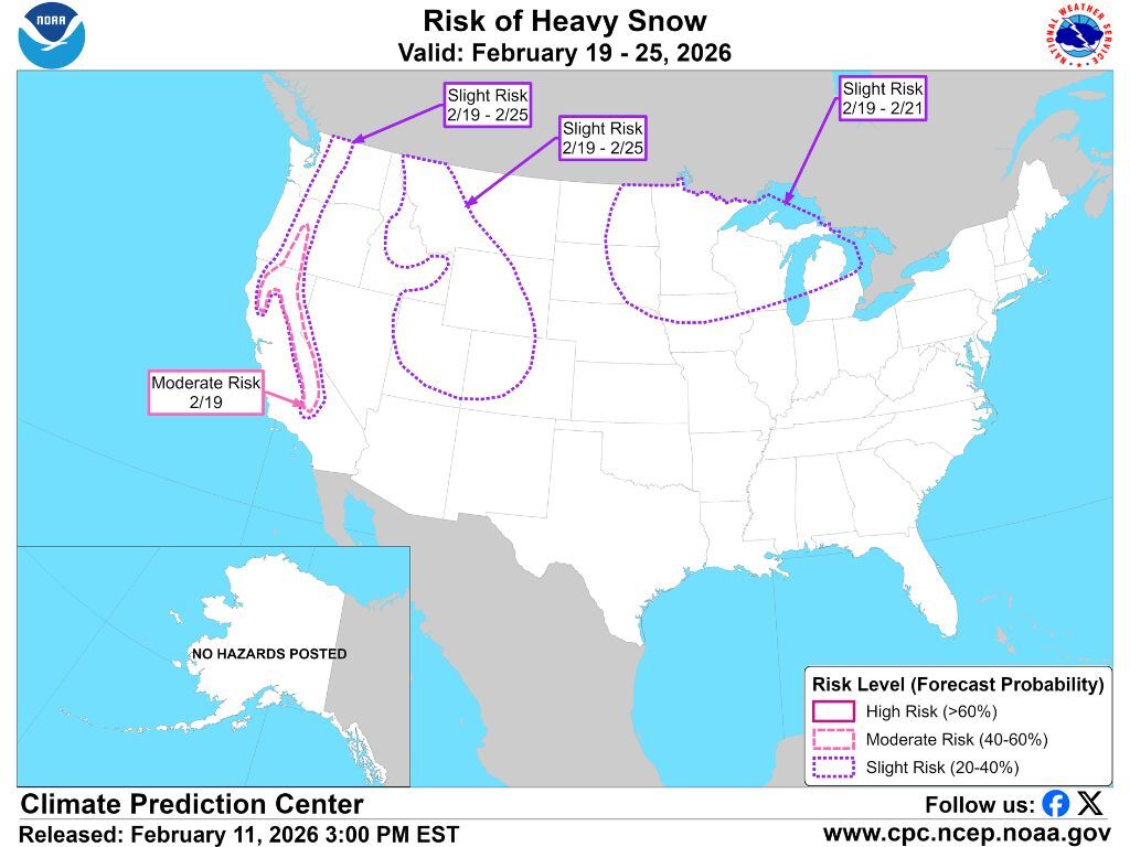
Sure to add to the hype of what lies ahead, the National Weather Service has included a large part of Colorado on their latest ‘risk of heavy snow’ map, which basically depicts where around the nation impactful winter weather can be expected over coming days. The portion of Colorado that’s flagged includes much of the state’s central and western peaks, with the risk said to be present for a full week – February 19 through February 25. That risk is currently described as ‘slight,’ but keep in mind that this map is meant to indicate exceptional snowfall scenarios. Even a ‘slight’ risk means that big snow will likely take place, with predictions of this big snow reflected on other forecasting maps, too.
Will this snow be enough to pop Colorado above record-low snowpack trends? That won’t be certain until the final numbers are published. Colorado’s current snow-water equivalent of the snowpack is 5.7 inches with the norm for the date being 6.8. By the time this alert expires, snow-water equivalent will need to reach 7.8 inches to tie the existing February 25 record low. With a current gap of more than two inches, the most significant period of snow thus far this season increased snow-water equivalent by 1.6 inches between November 30 and December 7 during which consistent and widespread mountain snow was falling. This storm – and snow that’s expected over the days prior to dates depicted on the ‘risk of heavy snow’ map – would need to add more to the snowpack than that. It’ll be possible that Colorado finally breaks its streak of record-low snowpack days, but we’ll have to wait and see.
STAY INFORMED: Get free Colorado news with our daily newsletter (Click here)
Get OutThere
Signup today for free and be the first to get notified on new updates.
PREV
PREVIOUS

Harrowing snowmobile incident resulting in death of one and 'lucky' rescue of two highlights key safety lessons
Guest article written by Anna DeBattiste; Colorado Search and Rescue Association (Check out our podcast with Anna on Apple or Spotify to learn more about search and rescue in Colorado) In 2008, Summit County Rescue Group was paged on a cold, snowy January evening to find three missing snowmobilers. The three men were experienced and […]

Here's a 'not-so-fun' fact: Colorado has now been at record low snowpack for 31 consecutive days
I’m with you – coverage of the low snowpack in Colorado is getting a bit redundant at this point. We all get it – it’s just not snowing much in Colorado this season. That said, the low snowpack will surely be something people talk about for years to come and because of that, this season […]