


Happy Trails: A scenic tour around base of Cheyenne Mountain in Colorado Springs
As the trail toward the summit, Dixon Trail might claim the most signature experience at Cheyenne Mountain State Park. But it is far from the only memorable experience — nor is it for everyone, as it requires a steep, out-and-back venture spanning 15-plus miles.
In the meadows and woods around Cheyenne Mountain’s base, Talon Trail is among more palatable and delightful hikes. If it’s mileage and more time in nature that you seek, minus the rigor of Dixon, Talon provides. And it provides some of the best, close-up views of the mountain all too often only viewed from afar in Colorado Springs.
Talon runs out toward the edge of the state park where Dixon Trail begins. Around here, Talon meets two shorter loop options: South Talon and North Talon that form a figure-eight. Indeed seeking mileage and more time outside, we looped both.
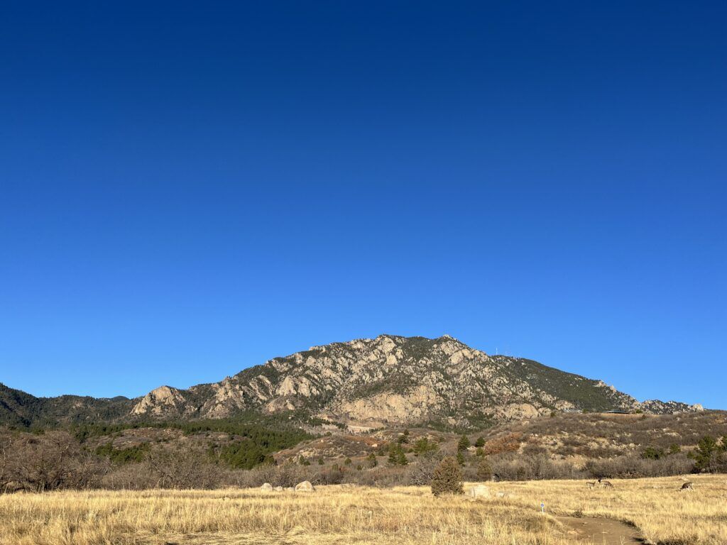
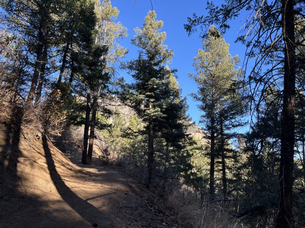
The mountain’s craggy face looms in view over the meadow where Talon Trail starts, from the Limekiln parking lot. Well-marked by yellow signs, Talon steadily rises out of the sun-splashed meadow and low oak and into the shade of pine trees after about 2 ½ miles. Rather than turn right for the green-marked North Talon, we continued straight to meet South Talon; we started the orange-marked loop by going left.
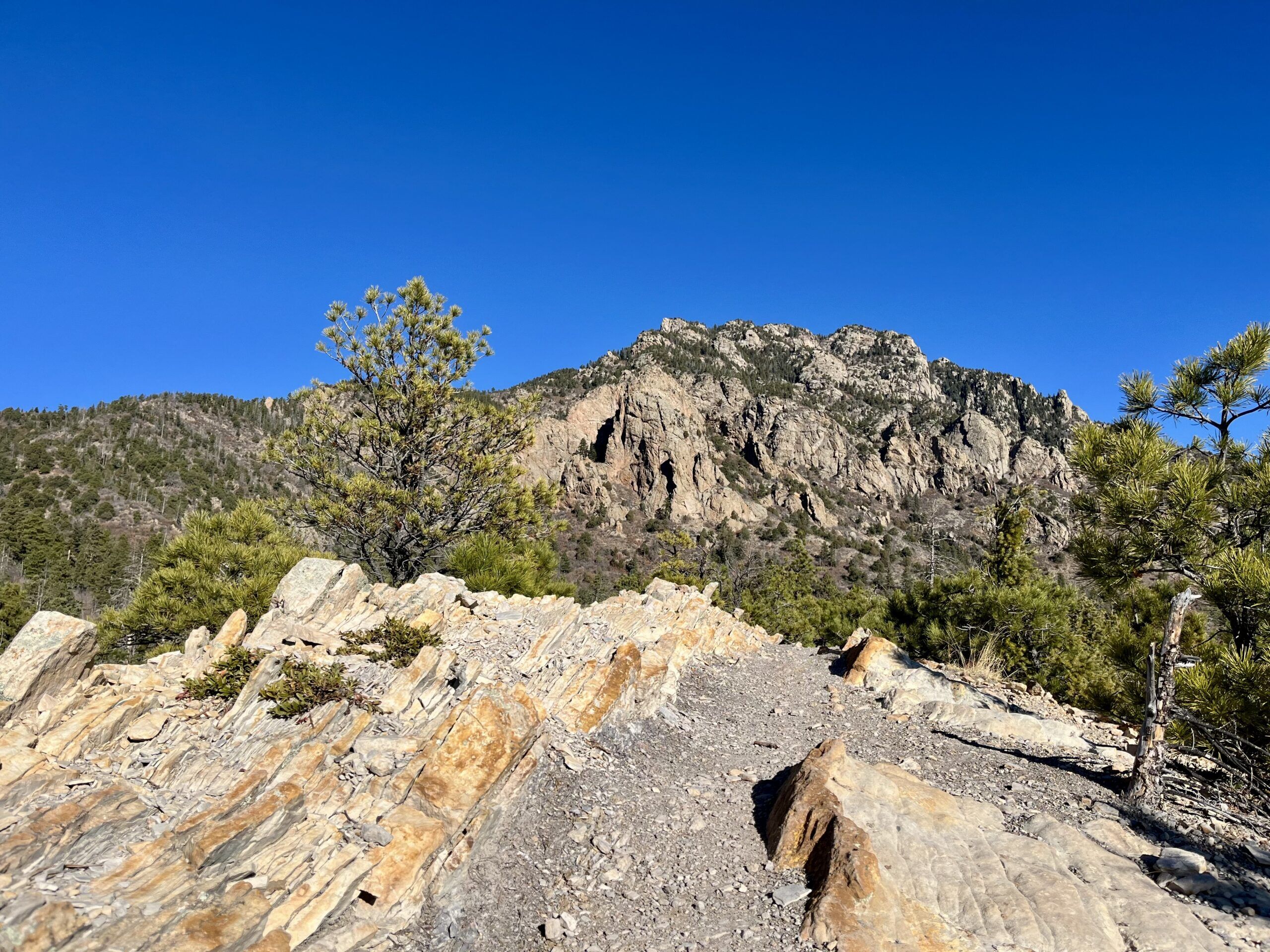
South Talon loops about a mile through charming woods and connects back up with North Talon, which remains well defined over a rocky hogback. Cheyenne Mountain emerges in full, dramatic view along this hogback, where Dixon Trail is marked. North Talon is marked in the opposite direction, continuing downhill.
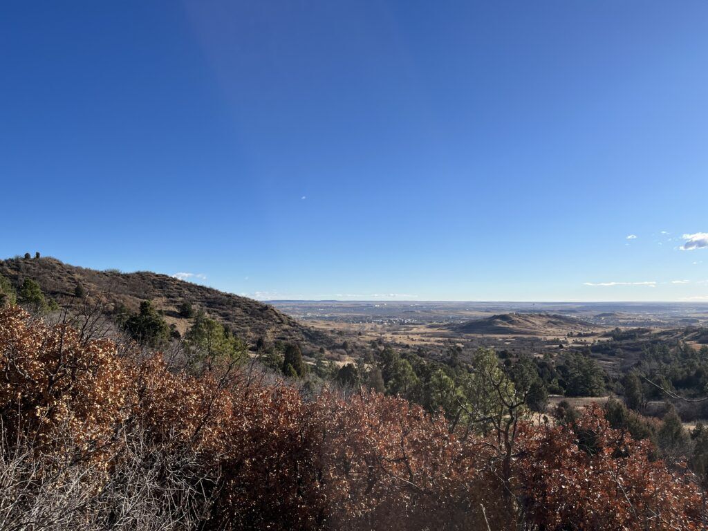
North Talon skirts a forested ridge, meeting Talon Trail again. We followed Talon back to the parking lot, enjoying a different view heading back east: wide-open land and sky.
Trip log: 7.4 miles, 884 feet elevation
Getting there: State park at 410 JL Ranch Heights Road. Entrance off Colorado 115, across from Fort Carson gate. After the pay kiosk, continue straight for Limekiln parking lot.
FYI: Without a Keep Colorado Wild Pass, vehicle pass $10. Multi-use trails, including Class 1 and 2 e-bikes. No dogs on trails.
SETH BOSTER, THE GAZETTE
Get OutThere
Signup today for free and be the first to get notified on new updates.
PREV
PREVIOUS

Trump and Iranian foreign minister say Strait of Hormuz is fully open
BEIRUT (AP) — U.S. President Donald Trump and Iran’s foreign minister said Friday that the Strait of Hormuz is now fully open to commercial vessels, as a 10-day truce in Lebanon appeared to hold. The truce offered a pause in fighting between Israel and the Hezbollah militant group and could clear one major obstacle to […]

Pedestrian killed in Arapahoe County crash
A pedestrian was killed after being hit by a car early Friday morning in Arapahoe County. Deputies with the Arapahoe County Sheriff’s Office and South Metro Fire Rescue were on the scene of the crash, which happened at about 2 a.m. near the intersection of East Arapahoe Road and South Lewiston Way in Foxfield. The […]