


Denver weather: Spring storm arrives, bringing more snow and rain
Colorado will continue to receive some much-needed moisture on Thursday.
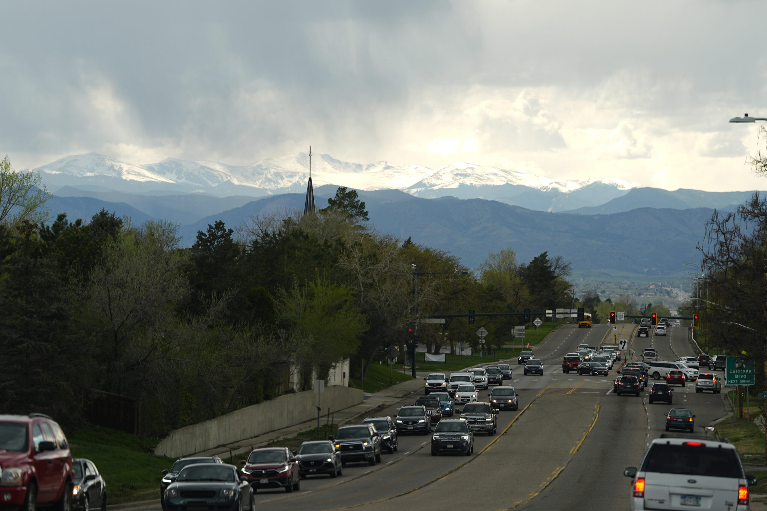
The National Weather Service said to expect a high near 45 with rain “very likely” along the I-25 corridor and snow in the mountains.
Forecasters have been tracking the spring storm for days now. Today and Friday will receive the bulk of its effects in the form of chilly temperatures and mixed precipitation. The worst of it should be felt this afternoon.
The weather service advises caution when driving through any mountain area, especially after sunset. For any Colorado Springs commuters, the Palmer Divide area could see significant snow buildup, forecasters warn.
The National Weather Service predicts 4-12 inches of snow in the mountains, with the heaviest amounts south of I-70.
Precipitation will continue into Friday before finally drying up over the weekend. More moisture is forecasted early next week, however.
Tonight, expect a low of around 35 with showers likely to continue in the morning.