


Fire season in the backcountry: The dangers and how to avoid them

As several large wildfires rip across Colorado, hikers, backpackers, river rafters and other backcountry users have faced a fear that plagues many outdoor recreators in the west.
The beginning of what is shaping up to be a scary fire season in the west begs the question: what do you do if you’re in the backcountry on foot without service when a wildfire starts?
Much of the answer is common sense, officials said. If you come across a fire in the backcountry, get away from it as fast as you can.
But there are also precautions backcountry users can take, in advance of their trip and if they come upon a fire, to help themselves out of the emergency when it happens.
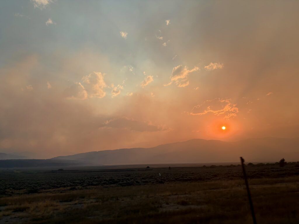
Fresh alpine air turned smoky
A blood-red moon shone through a haze of dark smoke settled into a valley high in the mountains of the Holy Cross Wilderness late Saturday night. My hiking partner and I were settled down in our camp when it rolled over us.
It was 8:30 p.m., and the smoke had settled quickly, setting the stage for a vibrant sunset over Missouri Lakes, then for a miserable hour of breathing.
When the smoke first started to settle, the first thought my hiking partner and I had was that a wildfire could be right over the ridge from us and we wouldn’t know about it.
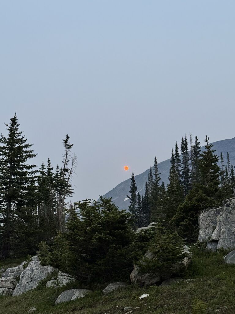
Luckily, satellite texting on our iPhones allowed us to reach out to people in the front country to ease that fear. It was smoke from a fire that had just started in Ouray, our partners back home told us.
Fear of running from a wildfire gone, we weighed the pros and cons of going to sleep in our tents as planned versus hiking the several miles and 1,500 feet of elevation loss back to the car in the dark.
Already, our throats and noses were burning; the air smelled like we were camped right next to a smoky campfire.
Do we sleep here, inhaling this air all night and likely waking up with sore throats? Do we hike out in the dark and avoid what could be a miserable night?
As two avid backpackers, my hiking partner and I aren’t ones to bail out of difficult situations. Self-deemed Type II Fun Enthusiasts, we’ll stick just about anything out.
Except heavy fire smoke, apparently.
We hiked back to the car, singing loud songs to scare any curious wildlife and stayed in a ventilated house in Leadville. We had no regrets.
In a state full of hikers and other backcountry users, we were very likely not the only people waffling the decision.
And we were lucky compared to people recreating in Leadville the next day, when yet another fire broke out in the state, right along the Colorado Trail and a network of other trails and campgrounds.
Fire fears in the backcountry
Among backpackers and thru-hikers on long trails in the West, such as the Continental Divide Trail, Pacific Crest Trail and Colorado Trail, long stints in the wilderness without service to monitor fire activity make fire an ever-present concern.
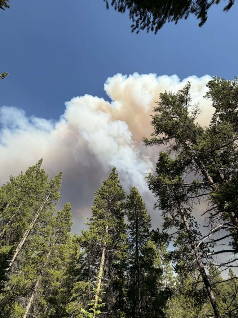
For dozens of such thru-hikers near Leadville on Sunday, where both the Colorado Trail and Continental Divide Trail skirt the base of the mountains, that concern became a reality when the Willow Fire started Sunday afternoon.
As of Wednesday, the fire was still burning at about 2,000 acres and 0% containment, according to WatchDuty.
Eleanor Carter was on the Colorado Trail near Leadville conducting trail research for the Colorado Trail Association when Sunday’s fire started, she said.
“I had just summited a ridge and looked up to see a wall of smoke,” she said. “My first reaction was that it was a big storm moving in, but the more I looked around and smelled, the more I realized it was a fire.”
She and her hiking buddy were able to contact their emergency contacts through satellite communication devices to learn where the fire was.
“We decided to high-tail it out of there,” she said. “The thought of being caught in something like that was really scary and it was probably some of the fastest hiking I’ve done.”
Carter was one of many.
Lake County Search and Rescue teams scoured trails, took inventory of cars at trailheads and checked permits Sunday afternoon as the fire raged, using every tool in their toolbox — from drones to off-road vehicles — to get people safely out of the fire zone, SAR official Becky Young told The Denver Gazette.
Her team worked overnight largely on foot to ensure people were safe, and she had not received any reports of missing persons, deaths or injuries, she said Monday.
For fires like the Willow Fire, it’s impossible to know how many people need to be rescued or where they are, making rescuers’ jobs tricky.
“It’s a cat and mouse game,” she said. “We don’t know who’s out there and what they’re doing. That’s the beauty of the backcountry. That’s the nature of the beast, and we’re happy to do it.”
The vast majority of people helped each other out and were able to evacuate themselves from the area’s trails, she added, saying word-of-mouth and the spread of information along trail systems are essential in emergency situations.
Young was not exactly sure how many people were recreating in the area when the fire started.
Colorado Trail Foundation executive director Paul Talley said about 600 to 800 people thru-hike the Colorado Trail each year, and half a million people use the trail on a day hiking basis.
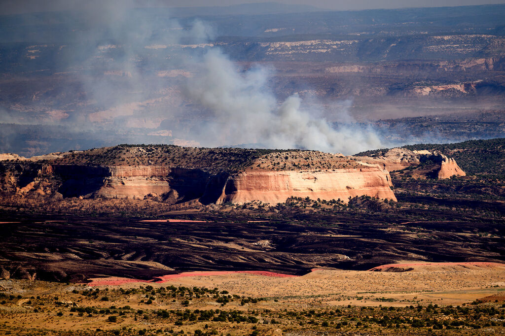
Meanwhile, more than a hundred campers recreating along the Colorado River were evacuated early this week as the Snyder Mesa fire continues to burn near the Colorado-Utah border.
Fire safety in the backcountry
Resources like Watch Duty are vital in knowing where and how big fires are. For people without service or access to those resources, preparedness for any situation is essential, Young said.
Basic preparedness for backcountry travel — knowing the route, telling others the plan, carrying a satellite communication device — is the same preparedness that will help a person navigate a fire.
Having a satellite communication device, like a Garmin InReach and knowing how to use it is essential, she said. A simple way to check fire conditions or know if evacuation is necessary is to check in with emergency contacts who have service.
Ensuring people in your life know where you are and when you plan to check in is also essential, she added. This can also include using trail logs at trailheads so rescuers know where you plan to be and when in an emergency.
For the first time this year, the Colorado Trail Foundation rolled out a new alert system that allows thru-hikers to sign up to receive critical updates to their phones or satellite devices, Talley said.
Hikers should also know their maps well and always know their exits, he said. Many trails like the Colorado Trail have hundreds of feeder trails, giving hikers exits in case of emergencies.
Stay visible, he added, noting that many outdoor companies use bright colors for gear for a reason. In a rescue situation, being easy to find matters.
“That starts with letting people know where you are and how to get ahold of you,” he said. “In an emergency situation, if you have a bright tent fly, wrap it around your pack.”
In situations that require quick evacuation, drop your heavy gear that isn’t important, he added. Keeping water, a compass, a map and other immediate essentials is important, but dropping heavier gear items can allow a person to move more quickly.
The Pacific Crest Trail Association’s page on wildfire preparedness urges people to react immediately if they see a fire in the backcountry.
Nobody can outrun a raging wildfire, the page says, but knowing how fires work can help people move away from them.
Their tips include the following.
- Get downhill of the fire. Fire typically moves faster uphill than downhill. If you are on a ridge, descend to the side the fire is not on.
- Move away from the flow of the smoke.
- Move to a place with less or smaller vegetation, such as a meadow or flat rock field.
- If there are lakes nearby, get into the water and shelter behind something, like a rock, to protect from heat.
- Avoid chutes and saddles at all costs. Fire is channeled toward those features, multiplying intensity.
- Stay low to the ground. Smoke is toxic and the air lower will be better. Dig a hole for your face and keep your nose in the dirt.
“Don’t panic,” the site urges. “Think as quickly as you can, take into consideration refuges you have passed, make a plan and act.”