







Freezing fog a major concern as Winter Weather Advisory issued in Colorado
aaron007
UPDATE: A winter weather advisory has been issued by the National Weather Service, active until 8 AM on Thursday morning. With it will come freezing fog and freezing rain resulting in the accumulation of ice on roads and sidewalks. Bridges are expected to be especially problematic. The notice is active along the Front Range, specifically the Colorado Springs area. It also tells residents to prepare for power outages.
Driving conditions across parts of Colorado will be dangerous Wednesday evening headed into Thursday morning as a cold front pushes its way into the state.
The National Weather Service also issued a hazardous weather outlook from Wednesday afternoon until Thursday morning for many parts of Colorado including El Paso, Eastern Fremont, West Adams, Arapahoe, Boulder, and Jefferson Counties. Colder temperatures and areas of freezing drizzle and flurries are likely to develop along and east of I-25 starting tonight.
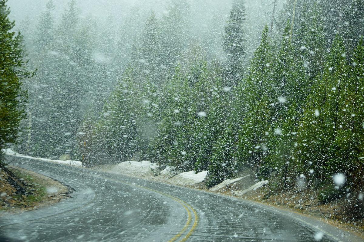
Driving hazards such as freezing drizzle, flurries, limited visibility, and black ice are expected between 8:00 PM Wednesday evening from 2:00 AM Thursday morning, especially along the Front Range Foothills, I-25 Corridor, and eastern plains.
Bridges, overpasses, and ramps will be icy. Slower speeds and caution is advised. Freezing drizzle should come to an end before the Thursday morning commute. The next chance for snow in Colorado is predicted for Sunday night into Monday.
Driving can be dreadful and dangerous when severe weather hits the state. Here are a few of Colorado’s most dangerous roads to be aware of this winter season.
For updates on road conditions, please visit cotrip.org.