







Second round of snow to blast Pikes Peak Region
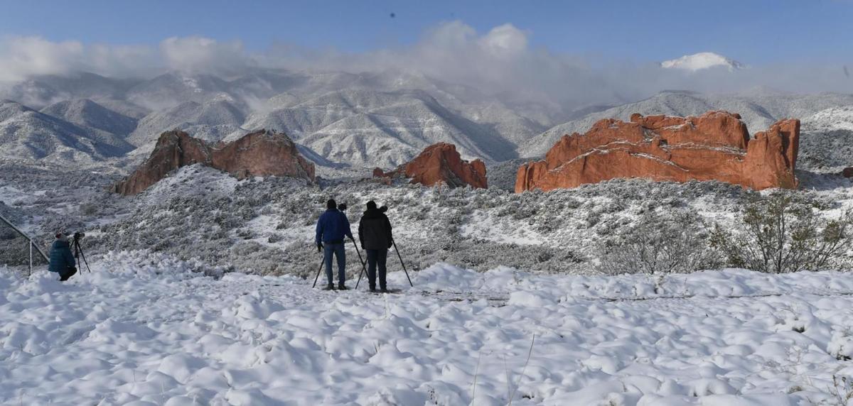
Trick-or-treaters might need to shovel their way through neighborhoods this Halloween as another round of snow is expected Tuesday evening in Colorado Springs.
Heavy snow Monday should taper off about 3 p.m. over the Pikes Peak region. The forecast daytime snow totals for Colorado Springs range 4 to 8 inches, according to the National Weather Service in Pueblo, but accumulations measured up to 7 inches before noon on Monday. Follow live weather updates on road conditions, flights, closures and more.
“Another storm system from the northwest will bring similar conditions through Wednesday,” meteorologist Mark Wankowski said. The second round of snow is expected to start Tuesday after noon with daily temperatures again in the 20s.
Monday’s storm system was the first to come to the Pikes Peak region and areas are expected to have a break from snow in the evening. Overnight snow is not expected, but skies will stay cloudy with a low of 11 degrees.
Moderate snowfall is expected from Tuesday’s storm, bringing another 2 to 4 inches to the Pikes Peak region. “A light upslope wind is likely in the morning, but gusts should not exceed more than 20 mph so blizzard conditions are not expected,” according to Wankowski. To check local road conditions, visit the Gazette’s interactive traffic map.
An 80% chance of snow is expected Wednesday before 1 p.m., but accumulations should only be up to 2 inches in Colorado Springs. Snow showers are possible late Wednesday with low amounts. The sun is expected to return Thursday with a high of 38 degrees. Skies are expected to keep clear through the weekend with warming weather. Sunday’s high is expected to reach 52 degrees.