







Winter weather advisories active in Colorado
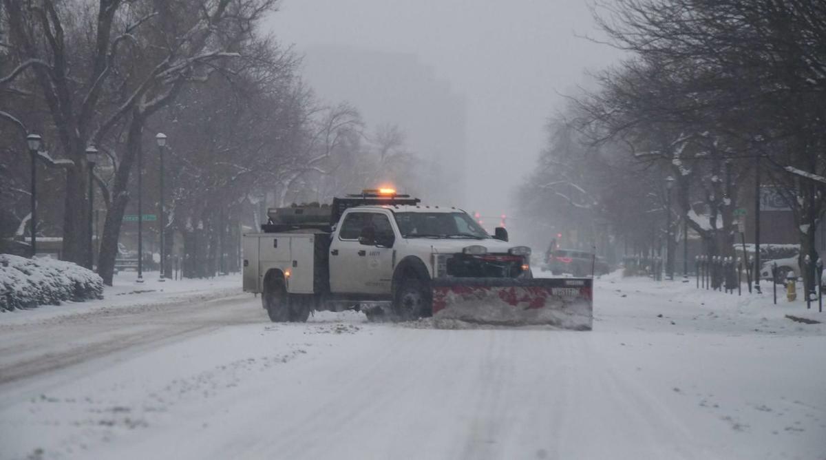
The National Weather Service has activated a winter weather advisory in several parts of Colorado with snow on the way. As a powerful storm moves across Wyoming, it’s expected to hit the Centennial State tonight, dropping temperatures from the 70s to the teens, resulting in accumulation of snow.
One advisory is currently in effect from 10 PM on Wednesday to 6 PM on Thursday, including the cities of Estes Park, Glendevey, Nederland, Red Feather Lakes, Bailey, Central City, Evergreen, Georgetown, Idaho Springs, Westcreek, Fort Collins, Hereford, Loveland, Nunn, Arvada, Boulder, Golden, Lakewood, Longmont, Aurora, Brighton, City of Denver, Denver International Airport, Highlands Ranch, Littleton, Parker, Castle Rock, Elbert, Fondis, Kiowa, Larkspur, Eaton, Fort Lupton, Greeley, and Roggen.
This advisory warns of up to 6 inches of snow and slippery road conditions, mentioning that there will likely be hazards during the Thursday morning commute, including the Denver Metro area. Higher snow totals are likely in high-elevation areas.
A second advisory is currently in effect from 8 PM Wednesday to 12 PM Thursday, including the following areas and cities: Elkhead and Park Mountains, Grand and Battlement Mesas, Gore and Elk Mountains/Central Mountain Valleys, Flat Tops, Columbine, Hahns Peak, Toponas, Aspen, Vail, Snowmass, Buford, and Trappers Lake.
This advisory includes a warning of up to 6 inches of snow and a strong cold front.
Editor’s Note: These weather warnings are subject to change at a moments notice. The National Weather Service is a great resource for updates. Here’s a good resource for tips for driving in the snow, as well as new traction laws you should be aware of.