







First snowfall of the season likely for Colorado Springs
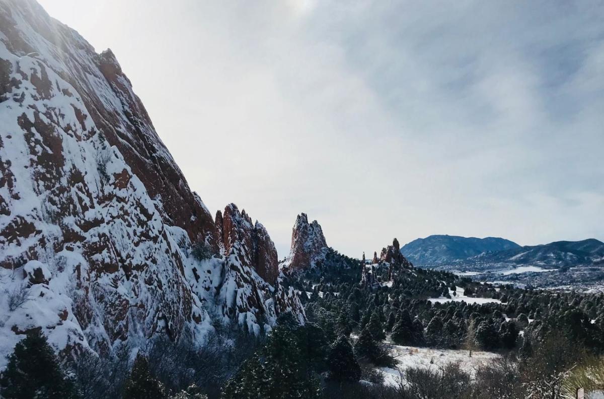
A blanket of snow in Colorado Springs is likely Thursday, following freezing cold air that will sweep across the state, forecasters say.
A strong cold front moving across the Rocky Mountains will bring extremely cold air into southern Colorado at about 10 p.m. Wednesday, said Makoto Moore, a meteorologist at the National Weather Service’s Office in Pueblo.
Daytime temperatures in the high 70s will plunge to the 30s by nighttime, according to the forecast.
By Thursday mid-morning, the Pikes Peak region could see the first snowfall of the season, Moore said. Three to five inches are expected in northern El Paso County, while areas of higher elevation could see five to seven inches, he said. Around one inch of snow is expected in Colorado Springs.
While exact snowfall amounts could change, Moore said a hard freeze is certain across the state Thursday into Friday. Low temperatures Friday morning will hover around the teens to the 20s in the Colorado Springs area. Single digits are expected in Teller County, he said.
The system will move quickly, though. Friday is expected to be cool, but less frigid and by the weekend, temperatures are likely to be in the 60s.
Talk of snow comes shortly after the National Weather Service issued a frost advisory Sunday. As of 6:15 a.m. Monday, the low at Colorado Springs Airport was recorded at 31 degrees, Moore said.
Last year’s first fall freeze in Colorado Springs was recorded on Oct. 10 when temperatures plunged to 32 degrees and the first hard freeze was Oct. 14 with a recorded temperature of 20 degrees, the NWS reported.
This week’s cold air will bring relief to record-high temperatures recorded in the city last Monday, when the mercury hit 87 degrees. The heat broke the previous record-high temp of 84 degrees set in 2013, the NWS reported.
See the full forecast from NWS:
Today: Sunny, with a high near 71. North wind 5 to 10 mph becoming south southeast in the morning.
Tuesday: Sunny, with a high near 81. West wind around 5 mph becoming south southeast in the afternoon.
Wednesday: Mostly sunny, with a high near 78. Southwest wind 5 to 10 mph.
Thursday: Snow showers likely, mainly after noon. Mostly cloudy, with a high near 40. North wind 10 to 15 mph, with gusts as high as 35 mph. Chance of precipitation is 70%.
Friday: Sunny, with a high near 44. West northwest wind around 5 mph.