







Parts of Colorado could wake up to fresh snow
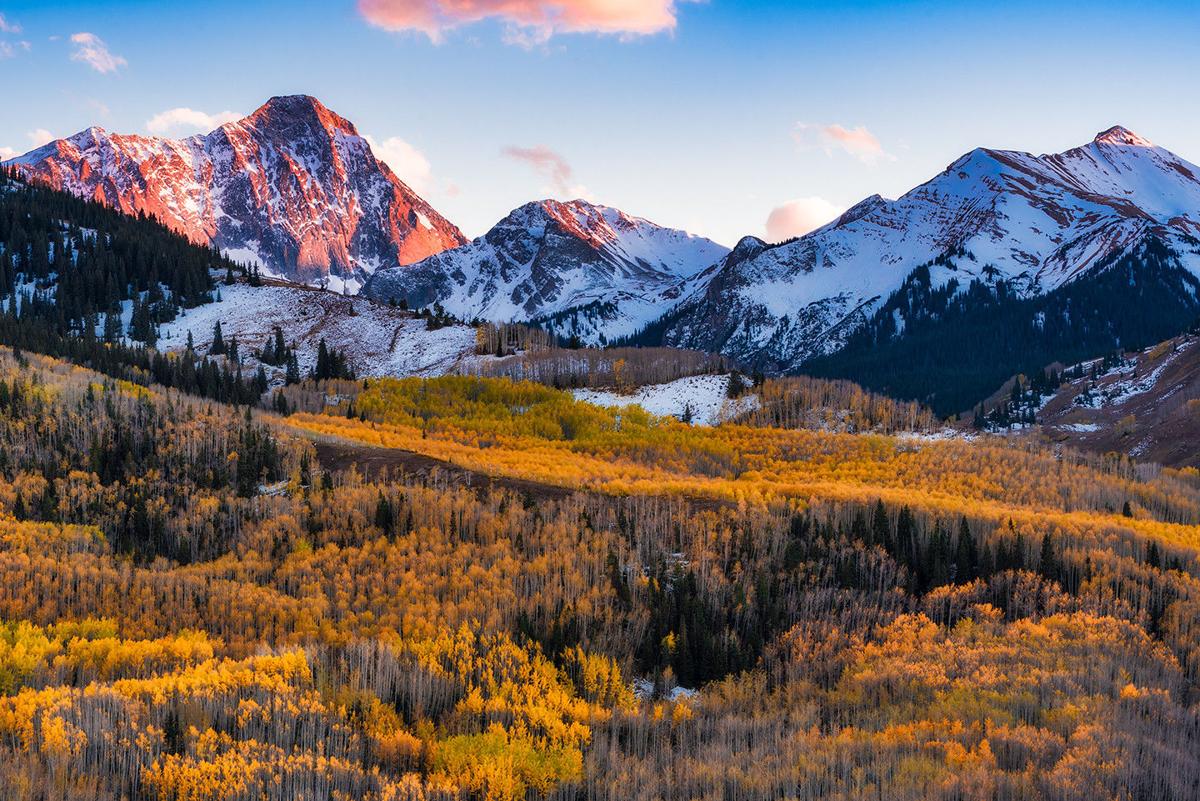
Get your snow dance on and let’s talk powder!
The National Weather Service has issued a Hazardous Weather Outlook for portions of central, east-central, southeast, and south-central Colorado, with rain and snow likely on the way.
Temperatures will be much cooler over the weekend across parts of Colorado with isolated thunderstorms capable of producing hazardous lightning and gusty winds likely for Friday afternoon and lasting through the evening.
There’s also a chance Colorado could wake up to falling snow tomorrow morning. According to the National Weather Service, higher elevations in the southern mountains are likely to see a fresh layer of snow as early as Friday morning.
‘Hello, it’s me. I was wondering if after all these days you’d like to meet.’ – Fall, probably #cowx #damp&drizzly pic.twitter.com/iJVOwQmD27 — NWS Pueblo (@NWSPueblo) October 3, 2019
It’s starting to look and feel a lot more like fall across the state, which means it’s almost time for ski season. For those eager to hit the slopes, you’ll be happy to hear that snowmaking has officially begun. Here’s a look at the opening dates for all of Colorado’s ski resorts.
Locations within the San Luis Valley are likely to #freeze late tonight, so don’t forget to cover those sensitive plants. Otherwise, cooler weather expected on Thursday across the region. #cowx pic.twitter.com/WLSdnGKhjq — NWS Pueblo (@NWSPueblo) October 3, 2019
If you’re planning on hitting the trails this weekend for some fall glory, be sure to check the weather forecast before you go. Remember, temperatures vary greatly by different ranges of elevation. Not to mention, the weather can change in a matter of minutes. It’s best to be prepared for all types of scenarios. Layer up and stay warm!