


A checklist of 20 great (non-14er) summits on Colorado’s Front Range


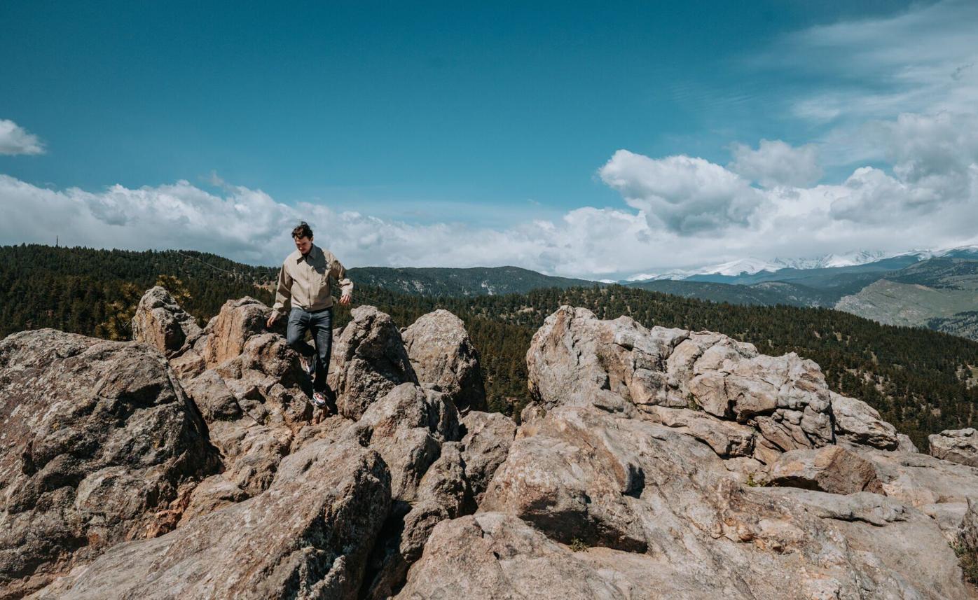
Colorado Springs Parks, Recreation and Cultural Services employees Emily Duncan, right, and David Deitemeyer stand while looking out at North Cheyenne Cañon’s “west parcel” from the summit of Mount Muscoco on Aug. 6, 2019.
The Gazette file
Just because you set your sights lower than 14,000 feet doesn’t mean you’re setting a low bar.
No, these aren’t the highest mountains on Colorado’s Front Range. But they could be called just as quintessential — much closer to home and providing a scenic, rewarding experience no less.
From population centers north to south, here’s a checklist of great summits:
Fort Collins
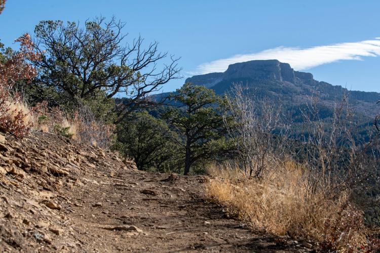
• Horsetooth Rock: The unmistakably shaped outcrop is the pinnacle of Horsetooth Mountain Open Space. Views of Longs Peak await, but don’t skip the detour early on to Horsetooth Falls. ~5 miles out and back, moderate
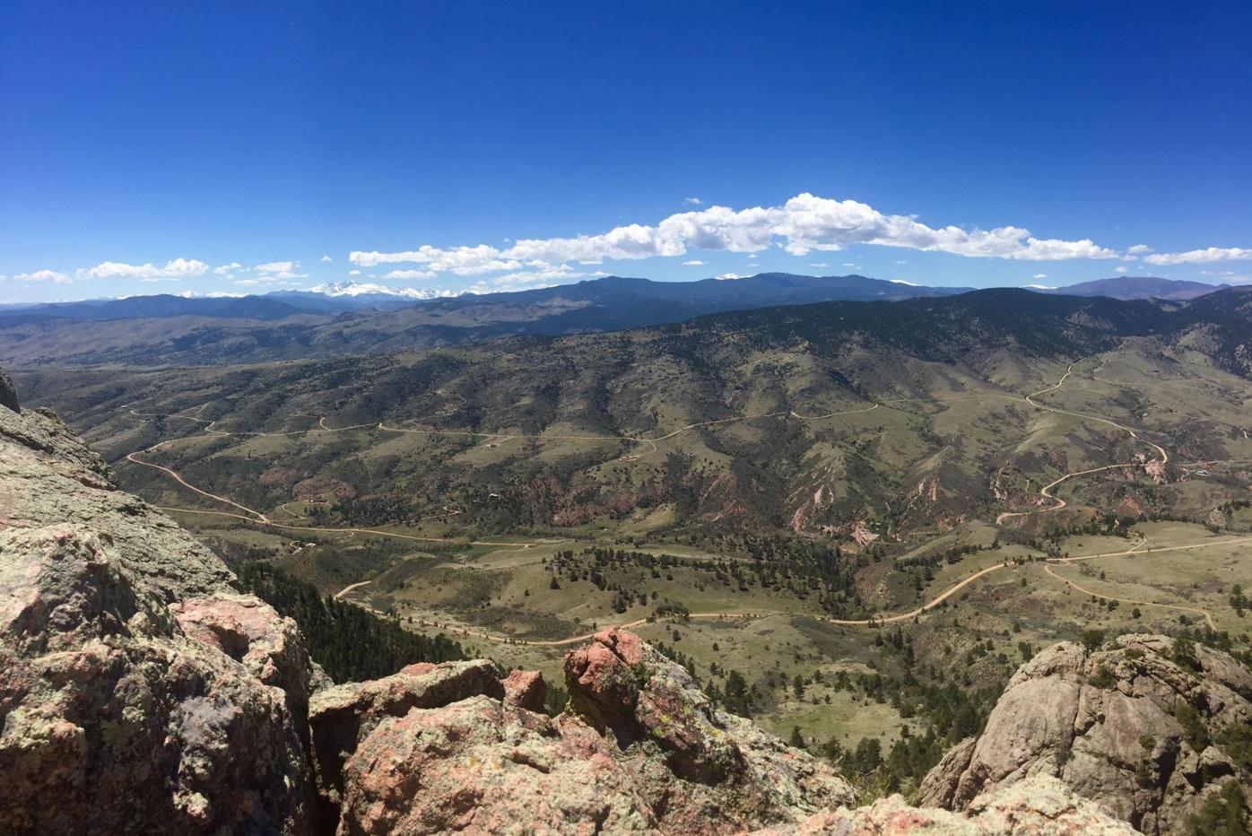
The view from atop Horsetooth Rock outside Fort Collins.
The Gazette


The view from atop Horsetooth Rock outside Fort Collins.
• Arthur’s Rock: This is another recognizable point calling to northern Colorado hikers, who regularly return to the venture through meadows, forests and open hillsides before the panorama. Perched over the northwest corner of Horsetooth Reservoir, Arthur’s Rock is the centerpiece of Lory State Park. ~3.5 miles out and back, moderate
Shannon Coleman steps to the top of Arthur’s Rock at Lory State Park near Fort Collins.
Seth Boster, The Gazette


Shannon Coleman steps to the top of Arthur’s Rock at Lory State Park near Fort Collins.
A scenic site is restored in Colorado — but tensions linger
Boulder
• Mount Sanitas: The name recalls the Boulder-Colorado Sanitarium, built in 1896 to be a health and wellness retreat. Indeed, Mount Sanitas keeps regulars in tip-top shape. It’s a hard-earned push to the summit on Mount Sanitas Trail, followed by the choice of the East Ridge connector to Sanitas Valley, a refreshing return. ~4-mile loop, difficult
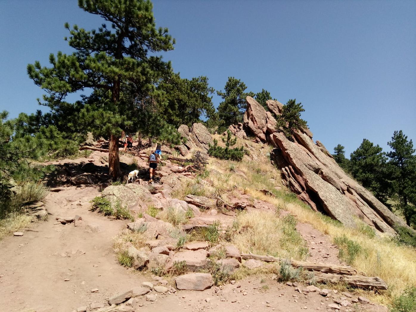
Hikers continue up to one of several false summits on the Mount Sanitas Trail in Boulder.
Gazette File


Hikers continue up to one of several false summits on the Mount Sanitas Trail in Boulder.
• Green Mountain: The summit above 8,100 feet features a mesmerizing vista of the Continental Divide and a historic marker naming those peaks scraping the sky. West Ridge Trail is the popular, most efficient way up Green Mountain. ~4 miles out and back, moderate
• Flagstaff Mountain: While many stop for the Flatirons of Chautauqua Park, many others continue on the road up Flagstaff Mountain. Yes, one could drive to the summit. Or one could enjoy the sights on foot, from Flagstaff Trail starting at the bottom of the road. ~4 miles out and back, easy/moderate
Miklas Von Der Ohe, of Germany, wanders around the Lost Gulch overlook along Flagstaff Road on May 21 in Boulder.
Parker Seibold, The Gazette


Miklas Von Der Ohe, of Germany, wanders around the Lost Gulch overlook along Flagstaff Road on May 21 in Boulder.
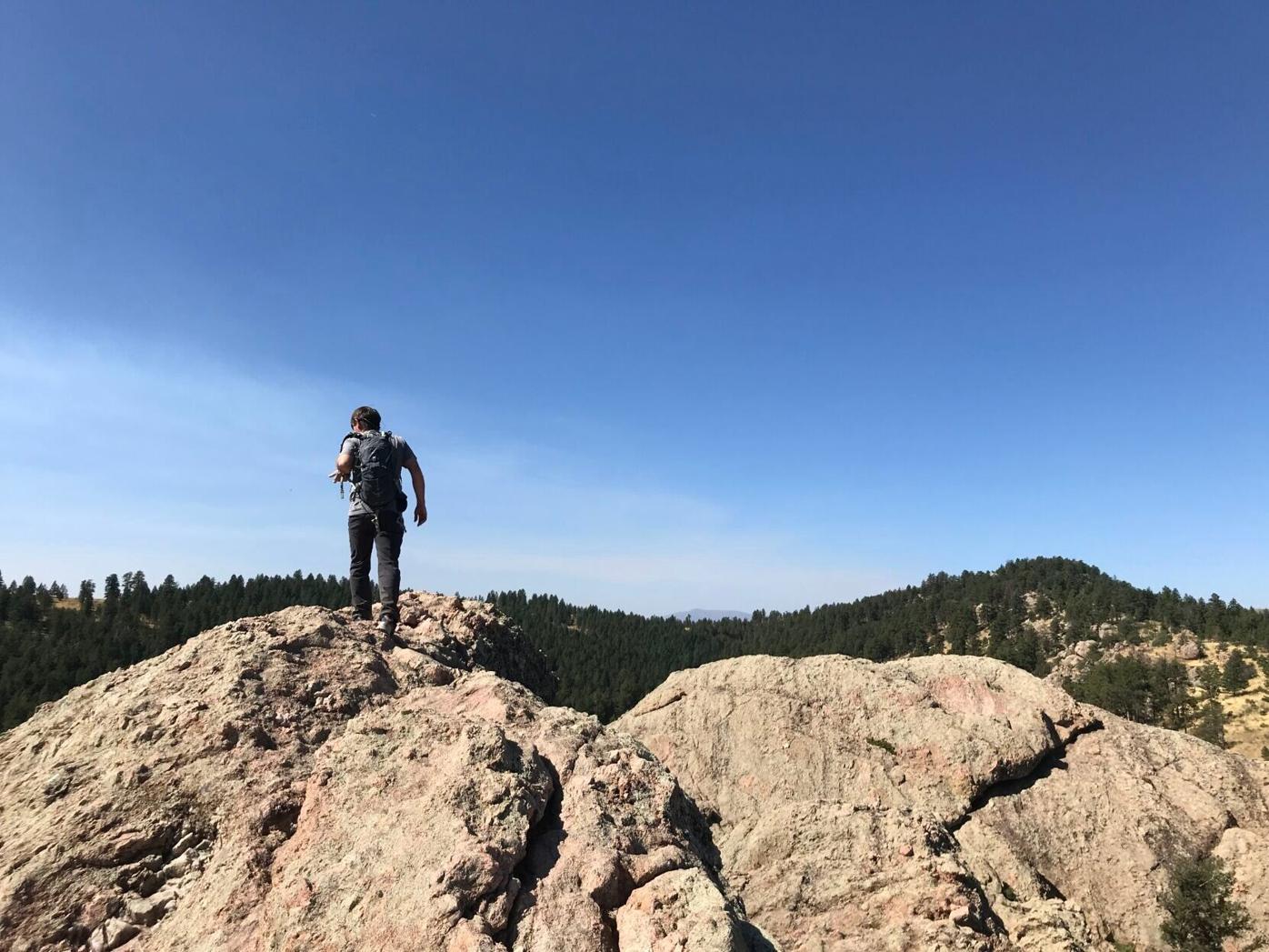
• South Boulder Peak: Above 8,500 feet, it’s regarded as the highest point among Boulder’s skyline. Fittingly, it’s the most adventurous of the four local mountains highlighted here, requiring a rock scramble near the top. The peak is commonly reached from the South Mesa trailhead in Eldorado Springs. Mesa Trail leads to the rugged Shadow Canyon Trail, which rises to a ridge linking South Boulder and Bear peaks. ~8 miles out and back, difficult
Happy Trails: Section 16 gets a refresh, but the climb and rewarding views remain
Denver area
• North Table and South Table Mountains: Golden’s iconic flat tops are similar in profile and somewhat different in experience. North Table often feels busier, with locals and visitors converging for the loop at the top (the short spur for Lichen Peak is recommended). South Table can feel more local, with in-the-know loops and destinations such as Carl’s Point. Various trails.
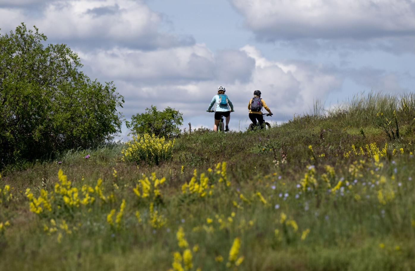
Cyclists ride past blooming wildflowers in South Table Mountain Park on June 14, 2023.
Gazette file photo


Cyclists ride past blooming wildflowers in South Table Mountain Park on June 14, 2023.
• Lookout Mountain: “Buffalo Bill” loved the view so much that he chose the mountaintop to be his resting place. Regular drivers, cyclists and hikers can see why. For a full appreciation of the mountain, consider Chimney Gulch Trail, which from the bottom of the road steeply ascends about 2.5 miles to Windy Saddle Park. From there, Lookout Mountain Trail stretches to Buffalo Bill Museum and Grave. Various trails.
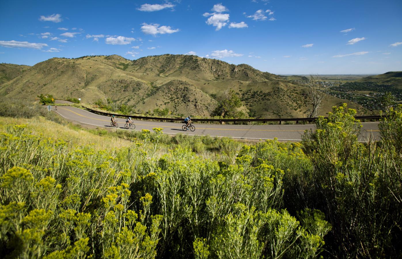
Cyclists climb the 4.57-mile road to the top of 7,377-foot Lookout Mountain on Aug. 24, 2021, near Golden. The scenic byway was built in 1913.
Christian Murdock, Gazette file

Cyclists climb the 4.57-mile road to the top of 7,377-foot Lookout Mountain on Aug. 24, 2021, near Golden. The scenic byway was built in 1913.
• Mount Galbraith: Mount Galbraith Park is a hiking paradise on the outskirts of Golden. The short trail network explores forests, meadows and overlooks of the town, Clear Creek Canyon and foothills beyond. ~4.5-mile loop, moderate
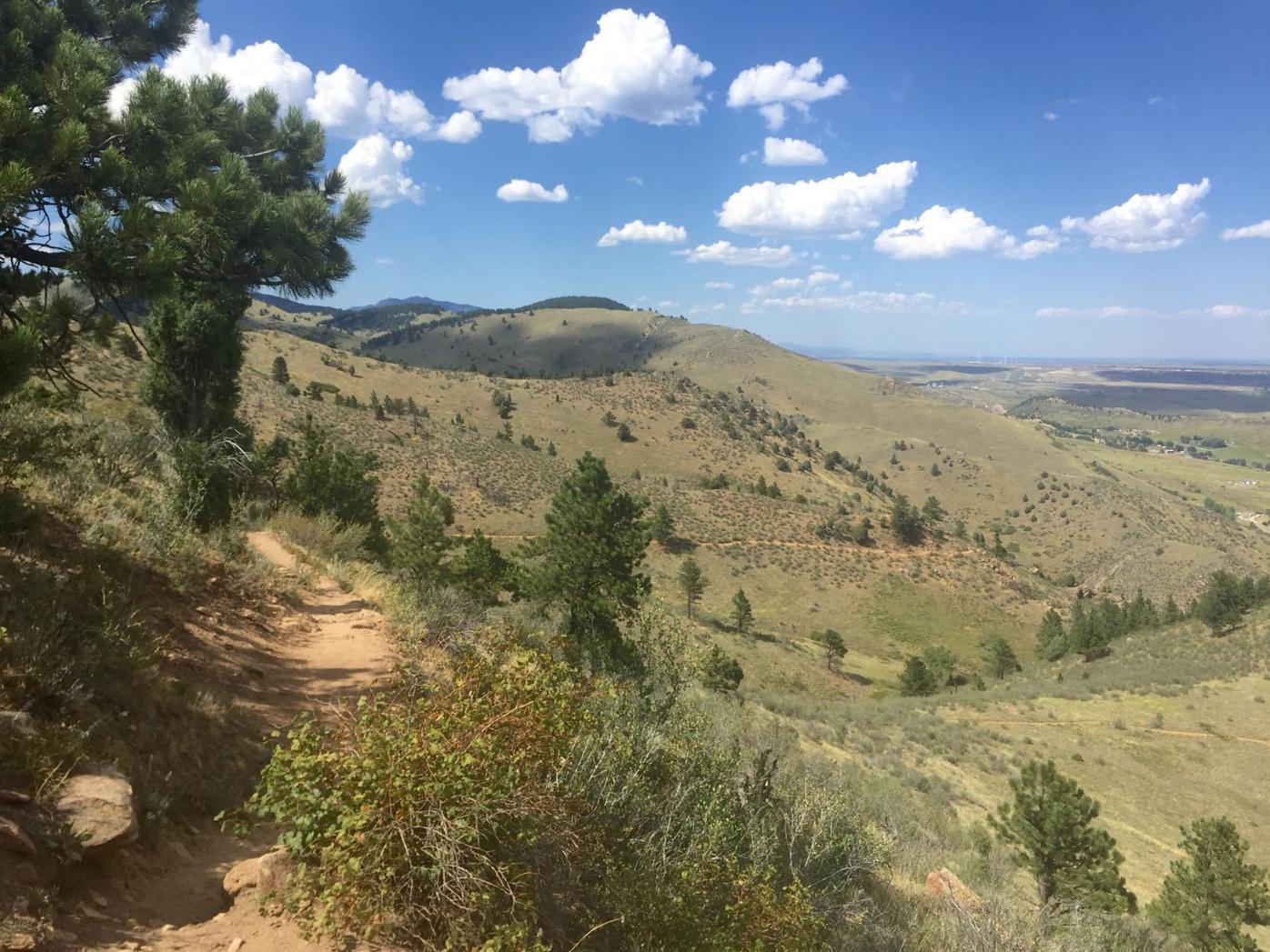
Mount Galbraith Park near Golden.
Seth Boster, The Gazette


Mount Galbraith Park near Golden.
• Green Mountain at William F. Hayden Park: This is perhaps Lakewood’s most cherished recreation hub, with trails across rolling terrain suited for everyone from the casual dog walker to the long-distance runner and mountain biker. Green Mountain Trail loops the park’s boundaries in 6-plus miles. Many chart a course for the Summit Loop. Various trails.
• Mount Morrison: Behind Red Rocks Amphitheatre is a mountain that delights as much as any concert. The view delights, anyway. Mount Morrison Trail, on the other hand, can be rather punishing. The trail is part of the Matthews/Winters Park. Hiking-only, no dogs allowed. ~4 miles out and back, difficult
• Mount Falcon: The Mount Falcon Park trailhead closer to Morrison is most popular. The more remote West Trailhead offers a closer start to the highest point around Eagle Eye Shelter and an old fire lookout tower. Meanwhile, Castle Trail leads to the destination more sought than the high point: the ruins of a “summer White House.” Various trails.

The 1911 cornerstone and foundation remain from the “Summer White House” that never was. Hikers and mountain bikers reach the site from Mount Falcon Park.
The Gazette


The 1911 cornerstone and foundation remain from the “Summer White House” that never was. Hikers and mountain bikers reach the site from Mount Falcon Park.
• Carpenter Peak: Garden of the Gods-like formations are the main draw to Roxborough State Park. Not to be overlooked is this mountain that looks out to the park’s colorful mosaic, Denver’s skyline and Rampart Range rolling south. ~6.5 miles out and back, moderate-difficult
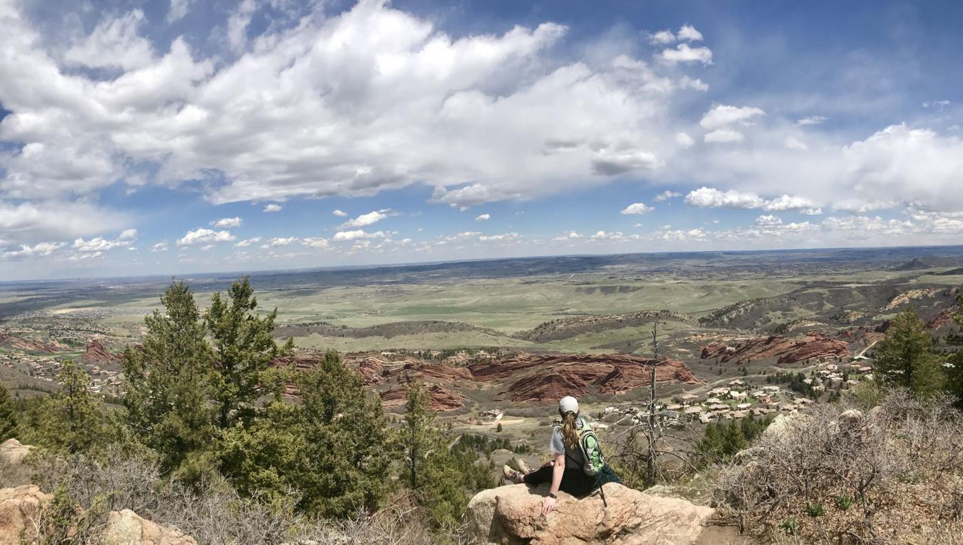
The view of the colorful valley from atop Carpenter Peak in Roxborough State Park.
The Gazette


The view of the colorful valley from atop Carpenter Peak in Roxborough State Park.
New lift shaping at Colorado ski area, ahead of highly anticipated terrain
Colorado Springs
• Mount Herman: The hulking monolith occupies the range north of the Springs. From Monument, the rugged Mount Herman Road bends at a small pull-off — parking fills fast — that has been marked with a Forest Service post, numbered 716. The path follows a seasonal creek up toward wooded and rocky slopes that clear for views of Pikes Peak and the Palmer Divide. ~3 miles out and back, moderate/difficult
• Blodgett Peak: On the Springs’ north side, trails have steadily expanded around Blodgett Open Space. Beginners should stick to those, rather than attempt the long, strenuous trek to the summit without a defined path. But serious adventurers can’t resist the craggy, stately peak seen from afar. ~4 miles, difficult
Trackchairs coming to 2 more parks in Colorado Springs
• Mount Muscoco: It’s the most prominent point among many cherished points in North Cheyenne Cañon Park. The popular route starts from the Mount Cutler trailhead. Recent years have seen a second route open from another trailhead: Daniels Pass Trail rises to Sweetwater Canyon Trail and a spur to Muscoco. ~4 miles out and back from Mount Cutler trailhead, moderate/difficult
• Mount Rosa: Many can identify the soaring, pyramid-like tip amid Colorado Springs’ backdrop. Few attempt to reach it. No simple route runs up Mount Rosa. A long trek can be had from North Cheyenne Cañon Park, continuing up from St. Mary’s Falls to Buffalo Creek and on toward Frosty’s Park and Nelson’s Trail. ~14 miles out back, difficult
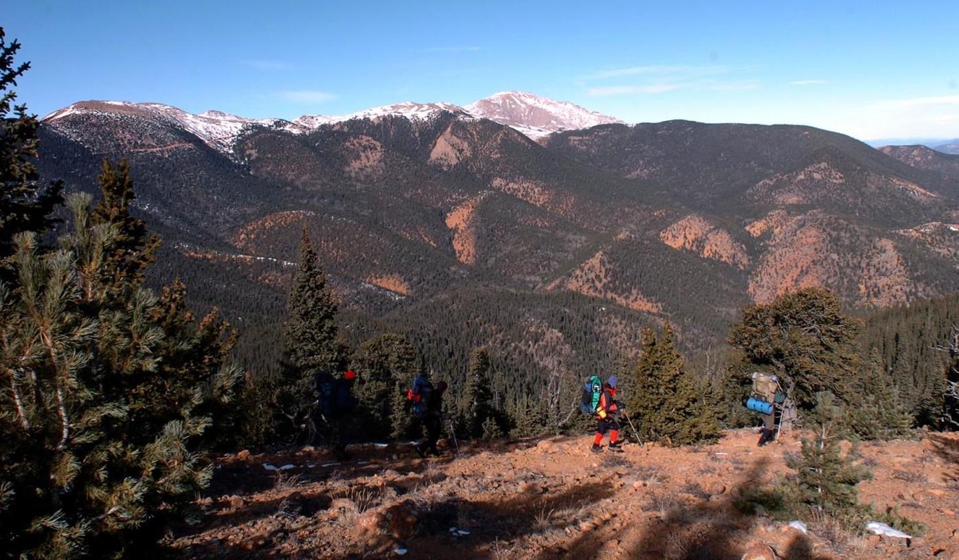
The group of hikers following the trail down Mount Rosa toward Pikes Peak in this file photo from 2006. Photo by Christian Murdock/The Gazette
murdock


The group of hikers following the trail down Mount Rosa toward Pikes Peak in this file photo from 2006. Photo by Christian Murdock/The Gazette
• Cheyenne Mountain: For being the Pikes Peak region’s second-most storied mountain, it’s a wonder why Dixon Trail is generally low-trafficked. Or maybe it’s not, as the trip toward the mountaintop demands a full day. Nonetheless, the trail out of Cheyenne Mountain State Park should be on the checklist of hikers able and prepared. From Limekiln trailhead ~17 miles out and back, difficult

Cheyenne Mountain State Park rangers take in the views from Dragon’s Backbone in 2018.
Seth Boster, Gazette file

Cheyenne Mountain State Park rangers take in the views from Dragon’s Backbone in 2018.
• Rocky Mountain: The mountain’s name is not nearly as well known as the name of the fitness phenomenon it keeps. The Manitou Incline’s wooden steps rise 2,000-plus feet in less than a mile — a summit experience unlike any other on this list. Difficult
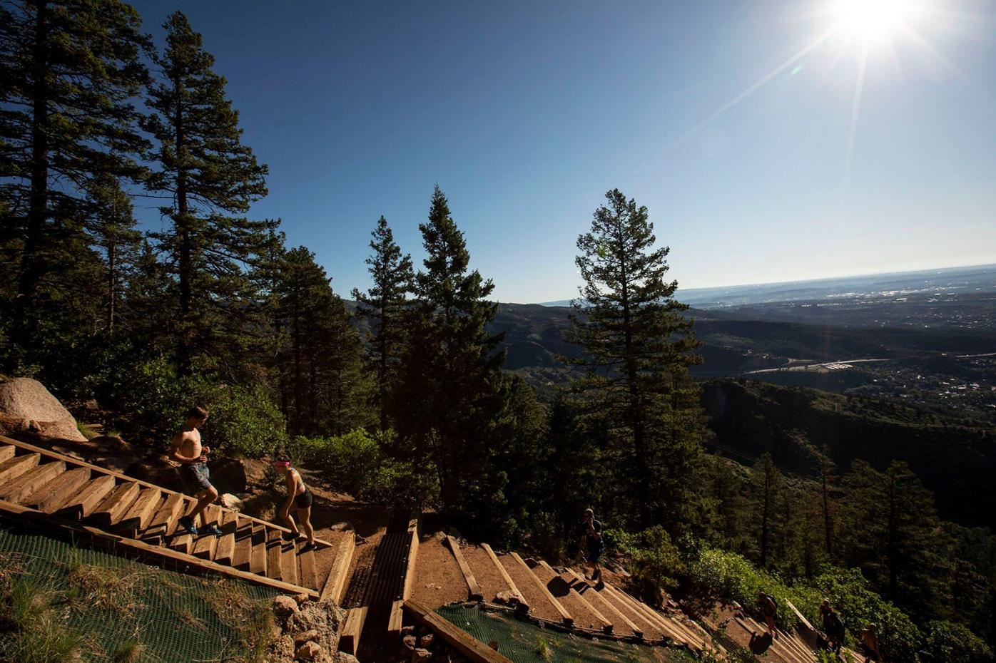
People hike the Manitou Incline on June 20, 2020.
Gazette FILE photo


People hike the Manitou Incline on June 20, 2020.
New report finds Colorado 14er hiking ticking up from previous low