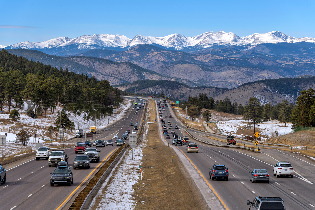
Denver weather: Thursday’s high could be last above 50 until February
With the approaching Arctic cold looming heading into the weekend, Thursday’s high of 59 around Denver might be the warmest it’ll be for the rest of January.
Denver residents can expect sunny skies, with a high near 59, according to the National Weather Service in Boulder. South winds to blow between 5 to 7 mph become calm in the afternoon.
“Gusty winds will develop tonight in and near the foothills,” the NWS said. “A few gusts up to 60 mph will be possible after midnight.”
Tonight it’ll be mostly clear, with a low around 27. South southwest winds to blow between 5 to 9 mph.
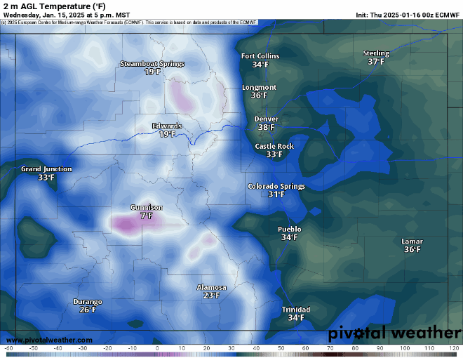
The Arctic air mass surge starts Friday night and is forecast to bring sub-zero temperatures for lows for three consecutive nights and day time highs in the single digits to low 10s or teens.
Snowfall on Friday is forecast to total between 2-5 inches in Denver and 4-8 inches in the southern and western suburbs.
Looking ahead, the cold air stays embedded in place over the state throughout next week and heading into February.
The most current long-term forecast models show Denver and the metro area cities more than likely won’t crest a high temperature above 50 for the rest of the month.
Here’s the 4-day forecast from the National Weather Service.
Friday: A 40% chance of snow after 3 p.m. Increasing clouds, with a high near 46. Southwest wind 7 to 10 mph becoming northeast in the afternoon. Winds could gust as high as 16 mph. New snow accumulation of less than a half inch possible.
Saturday: Snow, mainly before 11 a.m. High near 19. North northeast wind 6 to 8 mph, with gusts as high as 16 mph. Chance of precipitation is 80%.
Sunday: A 20% chance of snow. Partly sunny, with a high near 13.
Monday: A slight chance of snow before 11 a.m. Partly sunny and cold, with a high near 10.