


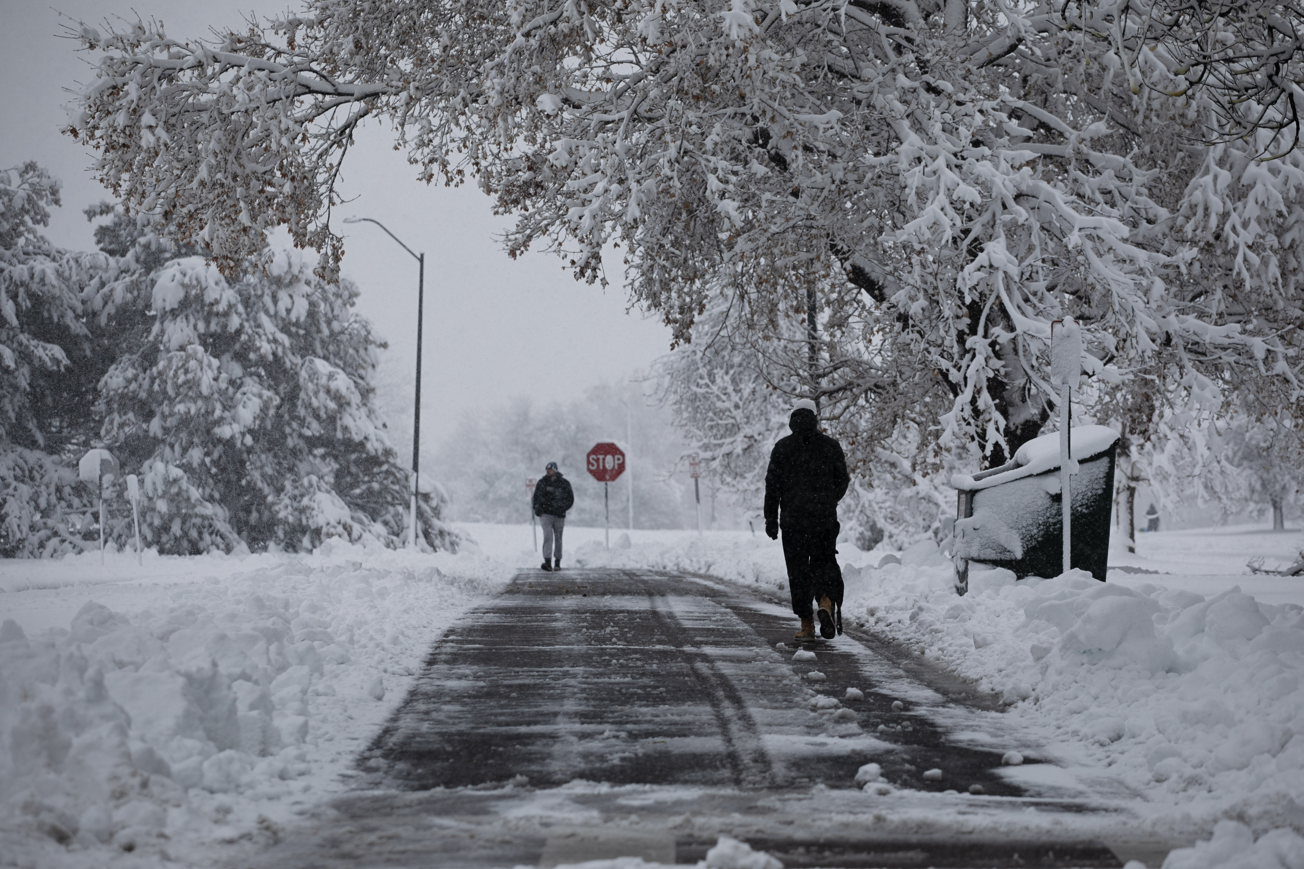
Denver weather: Snow winds down Monday, cold temperatures linger, area closings
Denver residents can expect a 40% chance of snow, mainly before 10 a.m., Monday, according to the National Weather Service in Boulder.
It will be cloudy with a high near 35 and breezy, with a north wind blowing between 14 to 16 mph, with gusts as high as 25 mph. Total daytime snow accumulation of less than a half inch possible. The winter weather advisory expires at 9 a.m. Click on the link from Denver Gazette media partner 9news to see area closings.
The latest storm will be winding down across the forecast area today with light additional snowfall accumulations in the morning. The snow overnight will cause hazardous winter driving conditions, however, and strong northerly winds will continue over the eastern plains causing poor visibility especially this morning.
Tonight will be mostly cloudy with a low around 16 and a north wind blowing between 8 to 13 mph, becoming light and variable overnight. Winds could gust as high as 21 mph.
Here’s the full forecast from the National Weather Service.
Tuesday: A 20% percent chance of snow after noon. Mostly sunny, with a high near 45. South wind around 6 mph becoming north northeast in the afternoon. Winds could gust as high as 15 mph.
Thursday: Mostly sunny, with a high near 65.
Friday: Mostly sunny, with a high near 66.