




Up to 18 inches of snow to hit parts of Colorado, ‘winter weather’ advisories issued
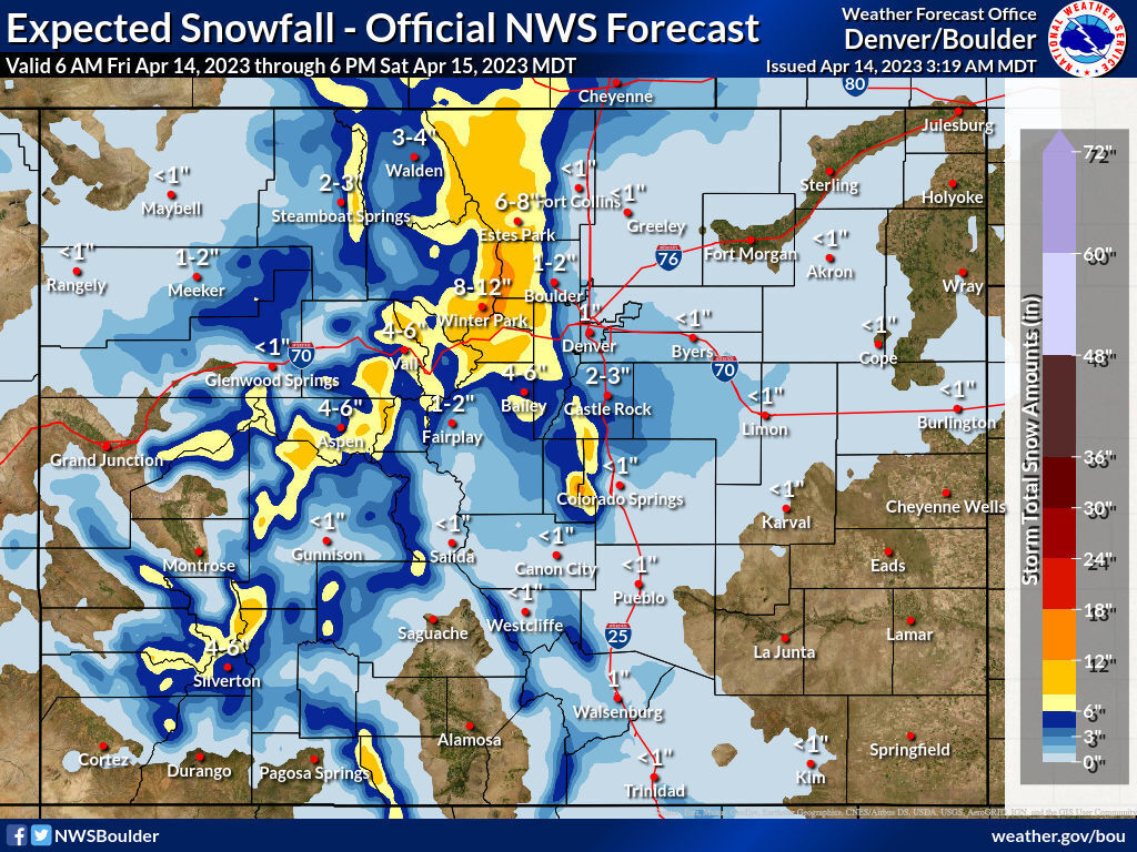
Days after record-breaking warm temperatures were reached around Colorado, a typical springtime storm cycle is set to bring up to 18 inches of snow to parts of the state.
According to the National Weather Service, wintery weather that’s set to blast the state Friday through Saturday evening will strike the hardest in the Winter Park area, with the town of Winter Park expected to get up to a foot of snow and surrounding peaks forecasted to get a foot-and-a-half. Meanwhile, snow totals of up to a foot are expected in the Telluride area, along Wolf Creek Pass, around Aspen, north of Vail, and on peaks east of Steamboat Springs.
During the same period, most of the Front Range metro area will probably see a few flakes, but should see little-to-no impact – though Pikes Peak could also get about a foot given its higher elevation.
Winter weather advisories have been posted for much of Colorado’s mountain region, as well as in the Front Range foothills west of the Denver metro.
This storm comes as snowmelt starts to trickle down the slopes of Colorado’s high country amid warming temperatures, leading to snow slides and dangerous flash flooding.
As of April 14, Colorado’s snowpack has started a steep decline, with the snowpack dropping to 131 percent of the to-date median down from about 140 percent days ago. With more warm temps and dry days ahead for much of April, the snowpack may rise slightly with this storm, but probably not in a significant way.
STAY INFORMED: Get free Colorado news with our daily newsletter (Click here)
Get OutThere
Signup today for free and be the first to get notified on new updates.
PREV
PREVIOUS

Guitarist Neil Hagerty accused of cutting Denver police officer with badge
Neil Hagerty, 57, was taken into custody for investigation of aggravated assault on a peace officer
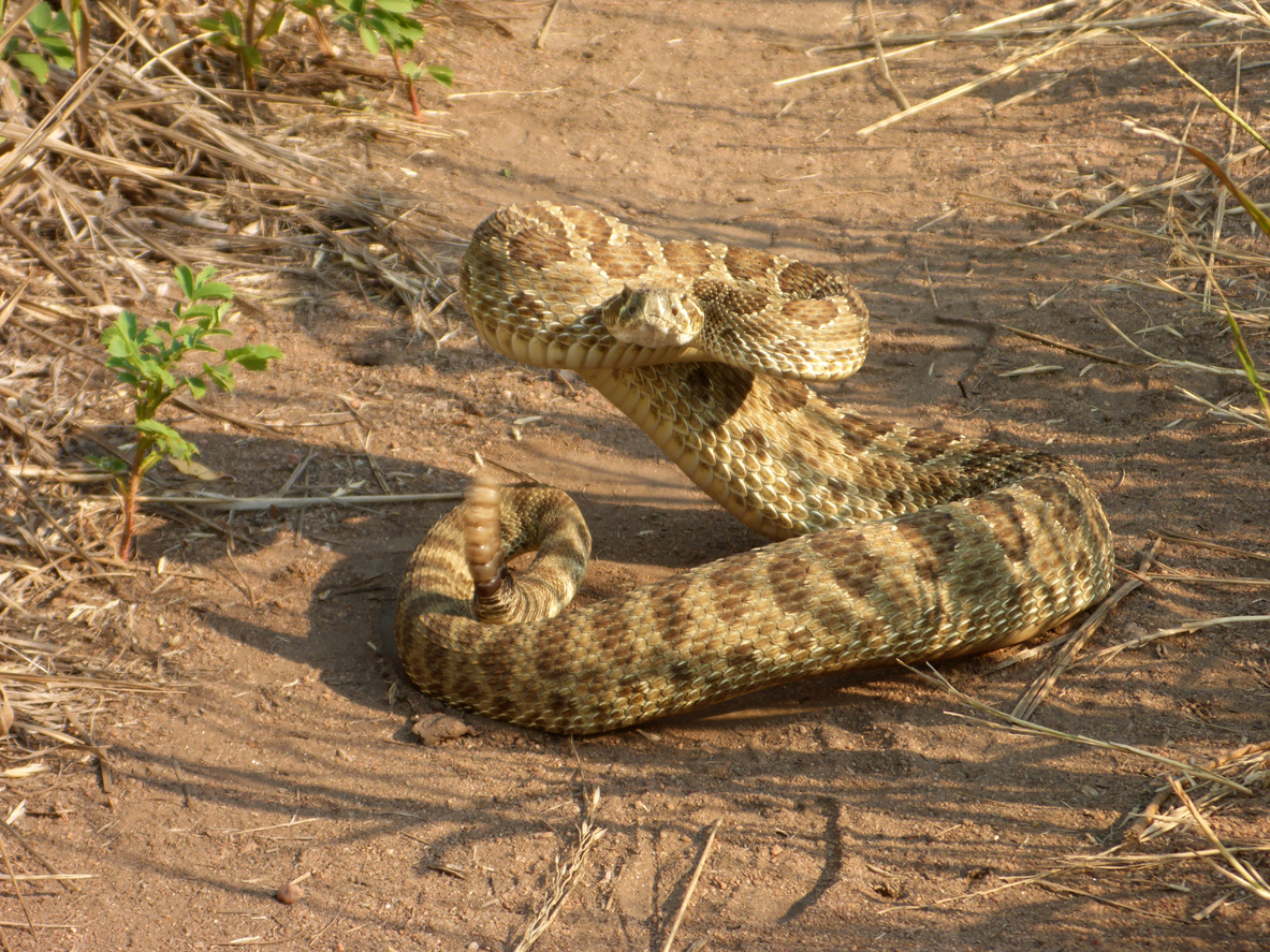
Public warned about rattlesnakes at popular Colorado destination
It’s that time of the year again, when rattlesnakes start rearing their heads in search of warm, sunny spots. According to advisories posted in the Jefferson County area, outdoor recreators should keep an eye out for this potentially dangerous snake. While rattlesnakes only tend to strike when threatened – capable of delivering a potentially deadly […]