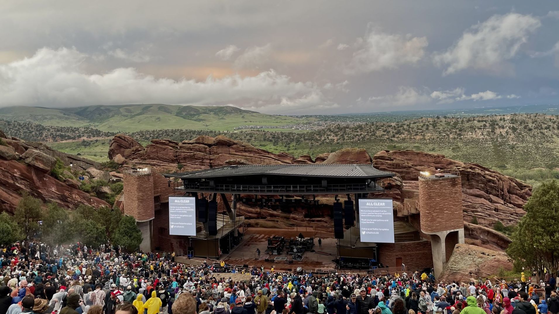
Denver weather: Flood watch in effect as monsoons return to metro Denver

Monsoonal flows will begin to produce rain in the mountains and along the Front Range corridor Monday as temperatures stay warm one more day.
Denver residents can expect a 50% chance of showers and thunderstorms, mainly after 4 p.m., according to the National Weather Service in Boulder. It will be mostly sunny with a high near 88 today. West wind 5 to 10 mph becoming east northeast in the afternoon. Winds could gust as high as 16 mph.
A flash flood watch is in effect from 4 p.m. to 12 a.m. for cities in Weld, Larimer, Adams, Arapahoe, Morgan, Denver, Boulder, Broomfield, eastern Jefferson and Douglas, northern Elbert and Lincoln counties. Flash flooding caused by excessive rainfall is possible.
Thunderstorms are expected to develop across the high country early this afternoon. A cluster of slow moving thunderstorms should then develop over the I-25 corridor by late afternoon or early evening, then drift into the eastern plains by the late evening. Rainfall rates of 1 to 2 inches per hour will be possible in the stronger storms.
Here’s the full forecast from the National Weather Service.
Tuesday: Showers and thunderstorms likely, then showers and possibly a thunderstorm after 4 p.m. Some of the storms could produce heavy rain. High near 87. South southwest wind 5 to 9 mph becoming north northeast in the morning. Winds could gust as high as 15 mph. Chance of precipitation is 80%.
Wednesday: Showers and thunderstorms likely after noon. Some of the storms could produce heavy rain. Partly sunny, with a high near 85. West southwest wind 6 to 11 mph becoming north northeast in the afternoon. Winds could gust as high as 17 mph. Chance of precipitation is 70%.
Thursday: A 50% chance of showers and thunderstorms after noon. Some of the storms could produce heavy rain. Mostly sunny, with a high near 87.
Friday: A chance of showers and thunderstorms after noon. Some of the storms could produce heavy rain. Mostly sunny, with a high near 87.