


Beyond Barr: Hidden trails and destinations away from Pikes Peak’s main route
This weekend, runners from around the world will take to Barr Trail in a tradition turning 68 years old.
The Pikes Peak Ascent and Marathon calls athletes back to the most famous trail on America’s most famous mountain — only one long tradition to go with the AdAmAn Club’s New Year’s Eve climb and countless, unnamed others by locals who regularly make the pilgrimage up the 14,115-foot peak.
For locals and visitors alike, it’s a classic, iconic tour thanks to Fred Barr. The man blazed the path more than 100 years ago, introducing us to points now synonymous with the journey: the switchbacking “Ws,” Barr Camp, the more primitive shelter simply called A-Frame, the Golden Stairs and, finally, the summit, where driving and train-riding tourists gather.
But Barr Trail doesn’t begin to paint the picture of America’s Mountain.
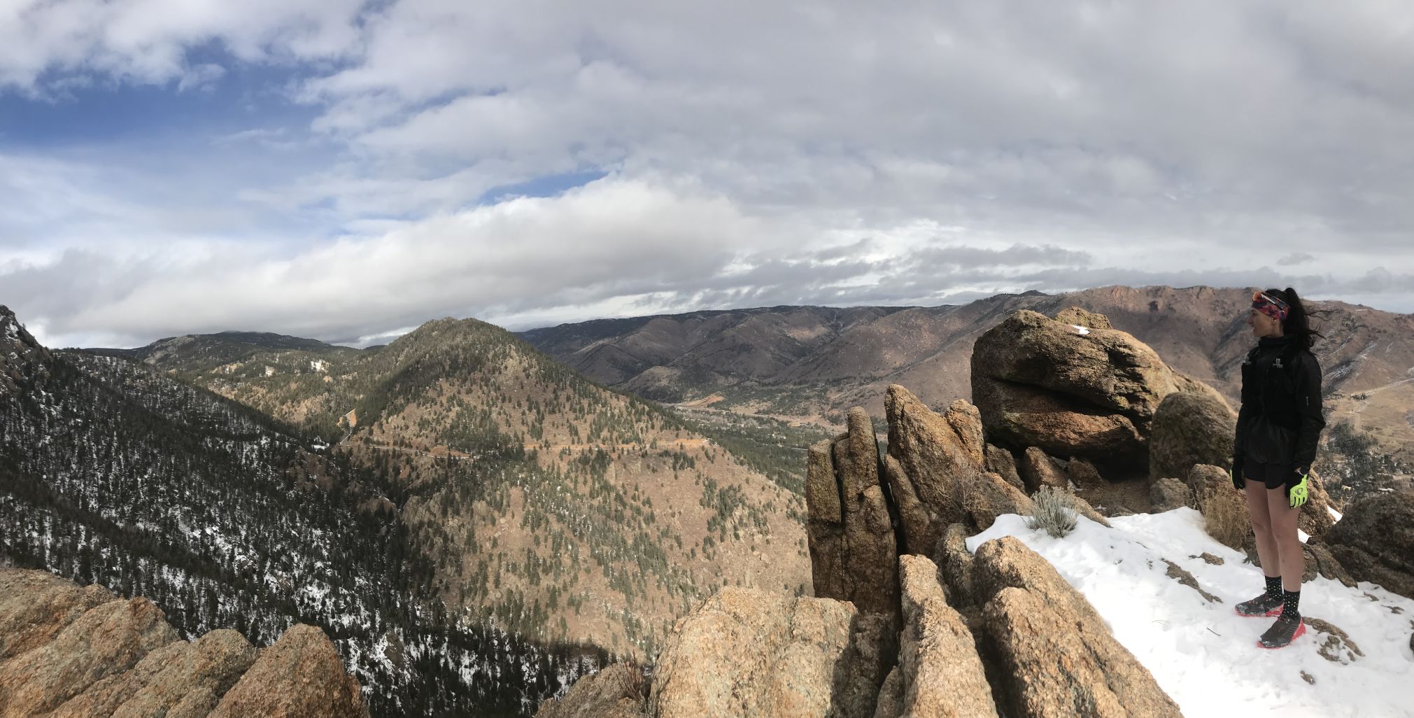
One could spend a lifetime exploring and never fully realizing the nooks and crannies of the mountain. Its broad shoulders extend far across the foothills to untrammeled forests and valleys and foreboding, rocky lairs.
Some hidden wonders are more accessible than others. Some should not be dared without a map, compass and able body — and a warning that some paths appear faint or lost to time.
This list merely offers a snapshot.
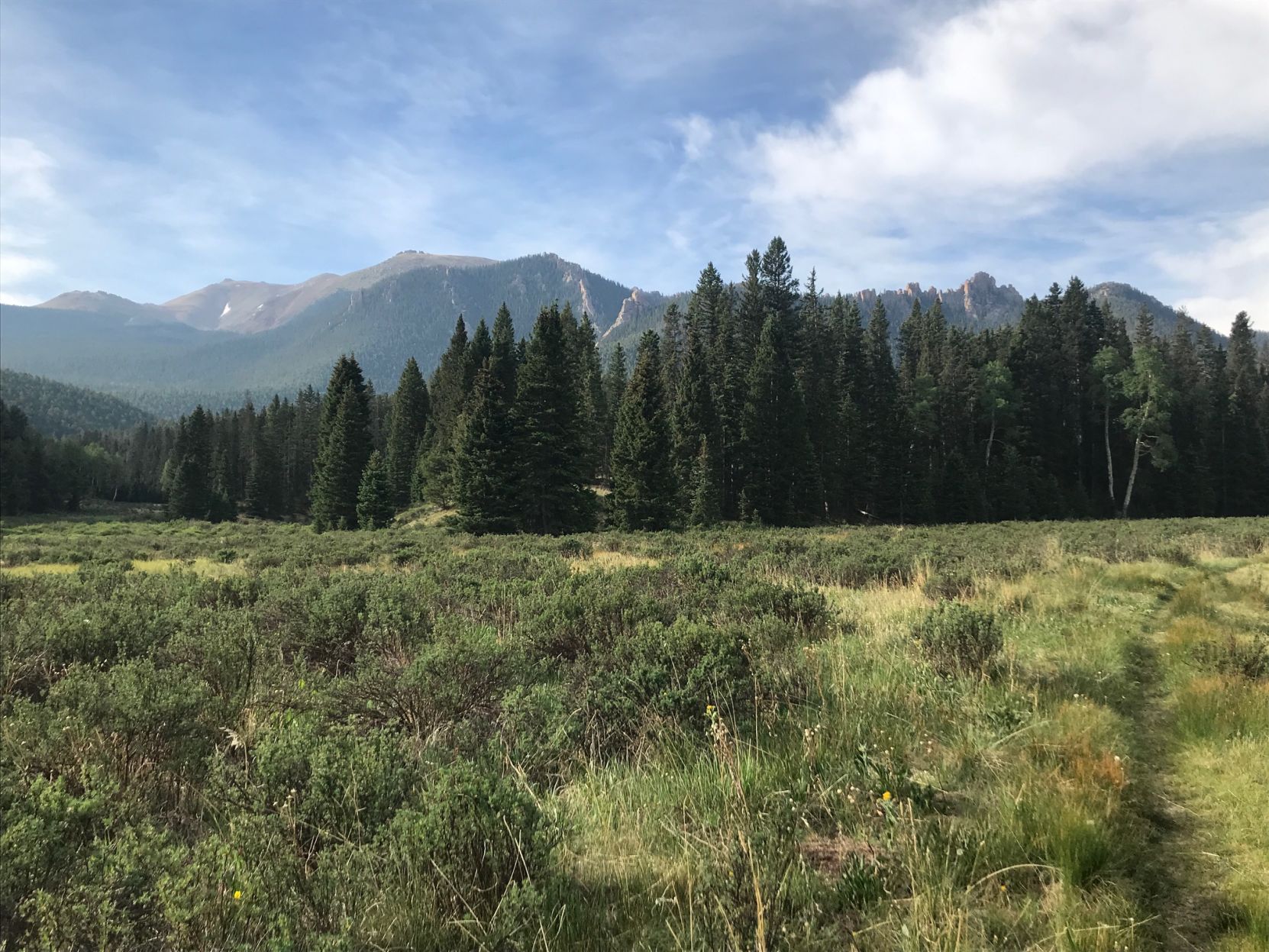
Elk Park Trail
If hikers find themselves at Barr Camp, they are likely continuing along Barr Trail. If drivers find themselves along the Pikes Peak Highway at Glen Clove, they are likely only stopping to check their brakes. And so the trailheads for Elk Park are often missed.
From Glen Cove to Barr Camp, Elk Park Trail (also mapped as Forest Service Trail 652) spans about 5 miles. The venture grants under-appreciated views and up-close looks at some of the peak’s forgotten history.
Closer to the Glen Cove side, for example, a spur leads down to what is marked as Ghost Town Hollow on Robert Ormes’ legendary Pikes Peak Atlas. Rusted remains have been found at the short-lived, ill-fated mining operation from the 1890s.
Bottomless Pit
Along with the new visitor center and parking lot at Pikes Peak’s summit in 2021 came a rather hair-raising platform overlooking this dark, gaping cirque. The few who venture to its edge know there is indeed a bottom. But even fewer consider proceeding — else join the ghosts said to haunt this land.
The spur is marked about a mile up from Barr Camp. The path follows a stretch of timberline that can be treacherous, especially amid snow and ice.
Back to those ghosts. One legend tells of a Ute woman whose cries echo from the granite walls. Other lore maintains a miner fell into the pit, and now his ghost beckons people to turn around.
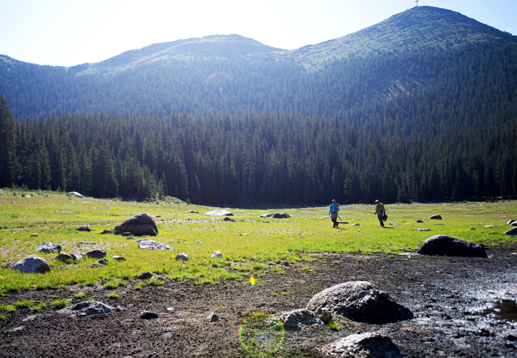
South Slope Recreation Area
After a century of longing, outdoor enthusiasts in 2014 saw Colorado Springs Utilities unlock the gate to the super- scenic chain of lakes above 10,000 feet. Well, the gate was sort of unlocked.
The waters remain tightly protected, only open 7:30 a.m.-3 p.m. Thursdays, Fridays and Saturdays typically between the end of May and end of September. A $20 permit must be booked in advance. And visitors arriving to the remote gate along Gold Camp Road beyond Victor are wise to get there right at opening. You’ll need the time to reach the highest reservoir, Boehmer, via the 9½-mile round trip on Mason Trail.
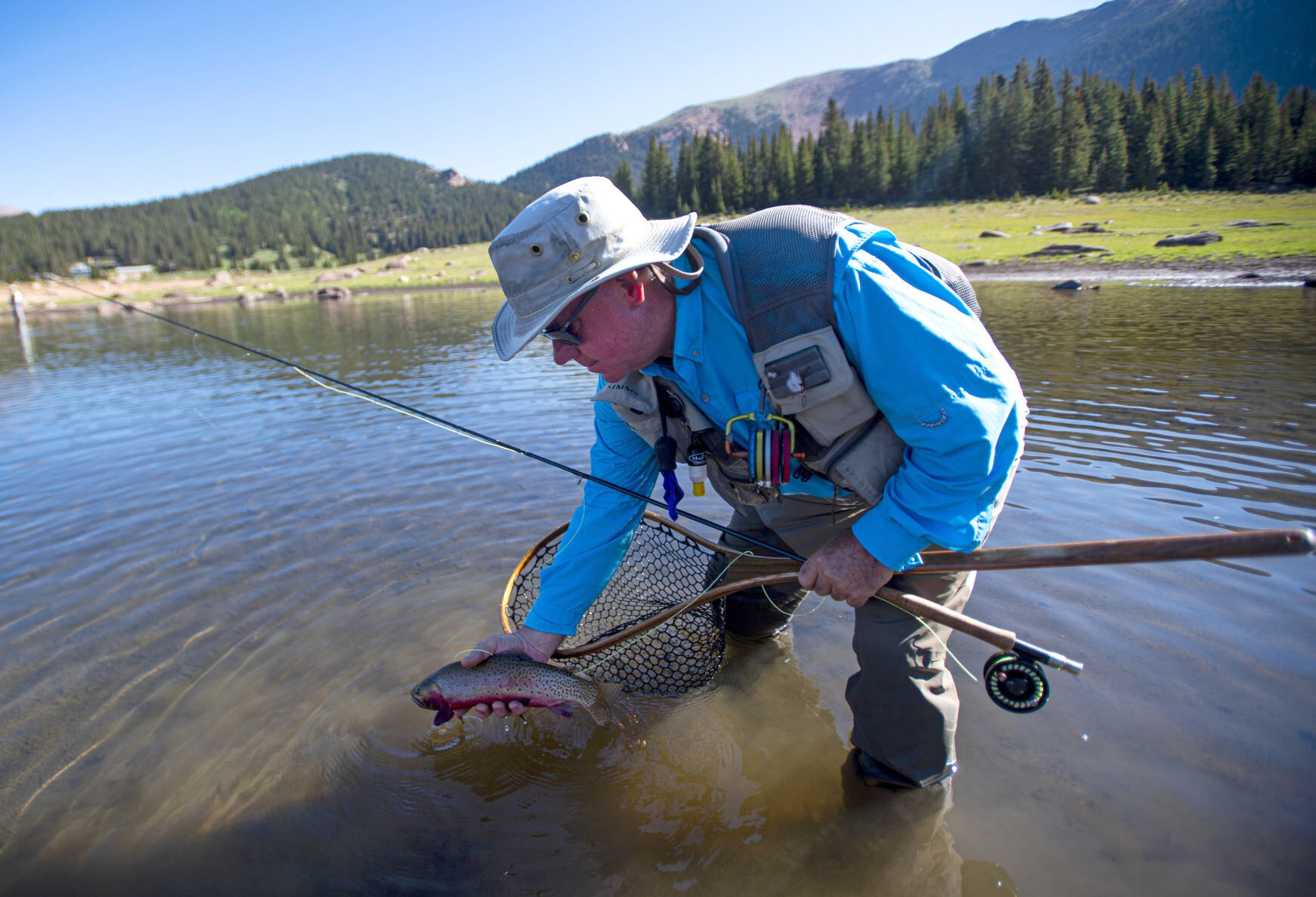
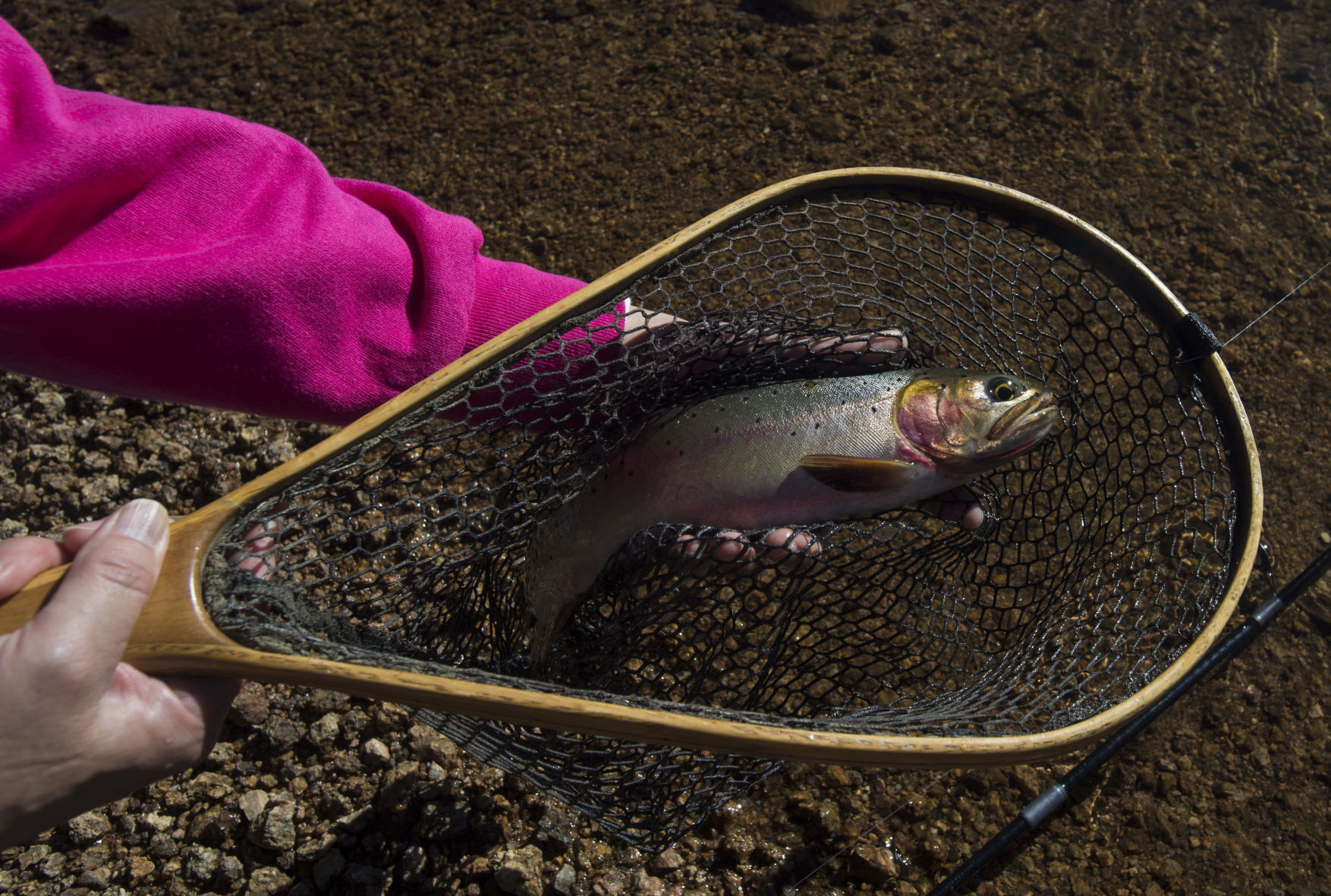
Shorter trails are also open to hikers and cyclists. Most popular is the fishing on the lower McReynolds and Mason reservoirs.
Lake Moraine Trail
Completed in 2018 after more than 20 years of mountain biking advocacy and fundraising, the trail is otherwise known as the “missing link.” That was in reference to the cherished connection between Barr Trail and North Cheyenne Cañon.
The link itself is about 4 miles, passing but not reaching Lake Moraine (plenty of other eye candy along the way). The tricky part is getting to the singletrack.
Will it be from Mountain View, off Barr Trail? That requires about a 6-mile trek up Barr. Or will it be from North Cheyenne Cañon, following trails 666, 776 and on to Lake Moraine Trail’s meet-up with Trail 667? That’s an even longer proposal. Another option: a drop-off along the Pikes Peak Highway at Elk Park, venturing east over the junction at Barr Trail and south down the Lake Moraine Trail to North Cheyenne Cañon.
Either way, you’re looking at 20-plus miles of serious biking or riding. You might want to consider backcountry camping in Pike National Forest. Also, for an up to date map, consider the “Pocket Pals Trails Map #2, Gold Camp Area.”
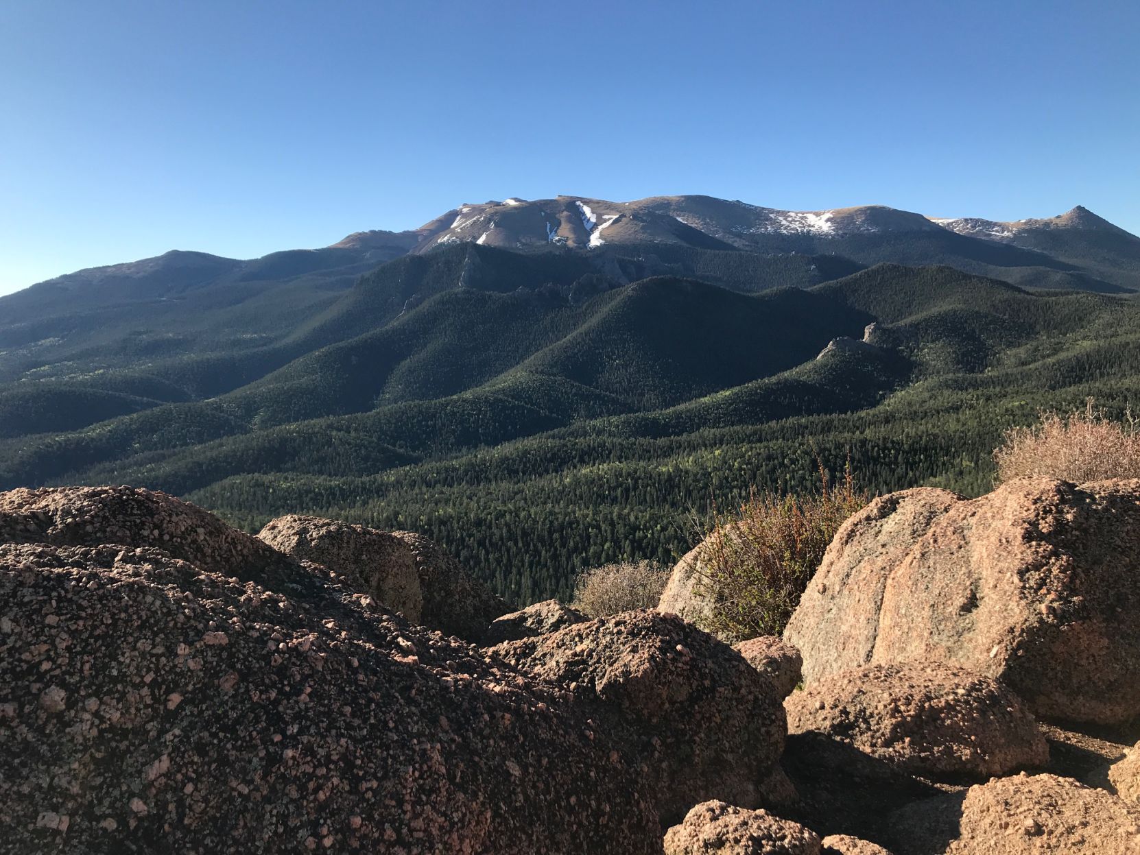
Heizer Trail
The Pikes Peak Atlas notes this as one of the region’s oldest lasting trails, an 1880s creation of David N. Heizer, president of the Cascade Town Co. Little did the man know his trail would stand the test of time — rivaling even Barr Trail in excellence, some say.
Yes, some runners in the know will opt for Heizer over Barr; if they’re really in the know, they connect the two for big mileage. Starting from Cascade, Heizer harshly climbs into the woods for proper training. It affords adventure much further afield, too.
From Cascade Mountain near 9,400, the trail descends to a ‘T’ at French Creek — about 3½ miles from where you started in Cascade. Manitou Reservoir is to the west. To the east is Hurricane Canyon Natural Area, a very steep, very rugged, off-trail proposition.
Catamount Trail
It’s a go-to in Green Mountain Falls, with an unceremonious start. Visitors park in town and hoof it up Hondo Avenue, the wide, dirt road through the neighborhood. A gate blocks car traffic; hikers continue on for the first of many rewards.
Catamount Falls tumbles over rock that defines this section of trail. The switchbacks require some scrambling, climbing higher to splendid views of the mountains and village below. The trail crests and drops into the Garden of Eden — a stream-fed, boulder-spotted meadow that lives up to the name.
The trail meets a service road, which heads a brief way up to gorgeous South Catamount Reservoir. The out-and-back trip is 6½ miles.
Ute Indian Trail
Neighboring Barr Trail is the Manitou Incline, and neighboring that straight-up railway-turned-famed fitness challenge is a trailhead that gets the least attention in this corridor.
It roughly follows the route Ute people followed to higher hunting grounds, the route later taken by settlers on their way to the gold fields. Now the trail parallels U.S. 24 cutting up the canyon between Manitou and Cascade.
Just to the right of the Incline, the path starts wide and steep before thinning and weaving the mountainside. Another starting point hides downhill from the Incline, behind the Base Camp gift shop and townhomes. Steep and loose, the trail sneaks up Rattlesnake Gulch — thought to be a portion of the original, historic route.
More off the beaten path:
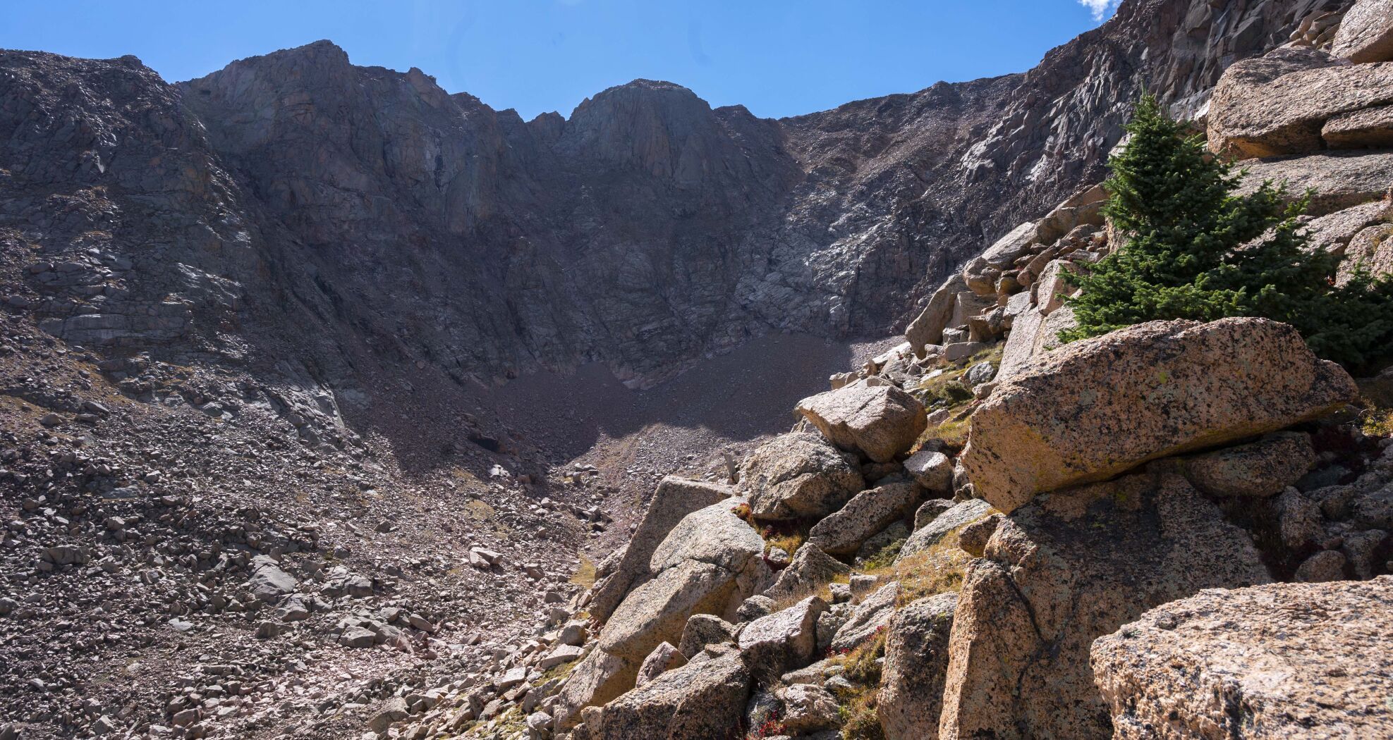
• The Crater: This is the name on the Pikes Peak Atlas, which places the granite cathedral south of A-Frame and Cabin Creek. An iron sign on the mountain’s east face has marked it as “CIRQUE, 1500 FT DEEP.” Yes, it’s the Cirque to the mountain’s most devout explorers, who know not to count on a trail.
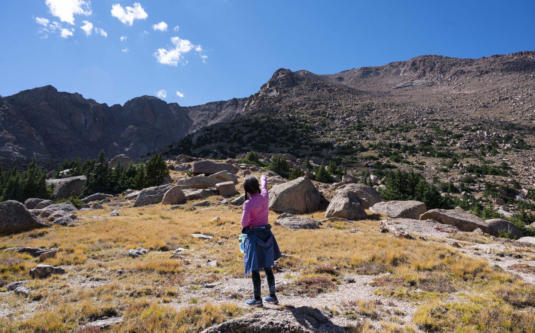
• Sentinel Point: After Pikes Peak itself, this sharp promontory above 12,500 feet is the highest summit across the massif. The exposed, rocky perch is no simple task. Route-finding and technical scrambling required. Cairns have been known to help off Forest Service Trail 708, which is reached from Horsethief Park off Colorado 67.
• Raspberry Mountain: Read the headline in our quick guide to the mountain: “Maybe the best Woodland Park-area hike you haven’t tried.” From Edlowe Road, the out-and-back trip covers 9 1/2 miles through aspen forests and lush meadows to the panorama above 10,500 feet.

Get OutThere
Signup today for free and be the first to get notified on new updates.
PREV
PREVIOUS

Denver weather: Chance of rain Monday, close to cold enough for snow
After a hot start to September — 99 degrees on Sept. 1 — cool autumn-like weather has found its place in metro Denver to start Monday. Denver residents can expect a chance of rain and thunderstorms before noon, then a chance of showers and thunderstorms after noon, according to the National Weather Service in Boulder. Accumulated precipitation for the […]

DeSantis points to renewed terrorism threat on southern border on 9/11 anniversary
EXCLUSIVE — On the 22nd anniversary of the Sept. 11, 2001, terrorist attacks, Gov. Ron DeSantis (R-FL) said the threat of foreign terrorism still exists on U.S. soil due to a lack of security on the southern border. Putting a spotlight on current problems surrounding illegal immigration, the Republican presidential candidate told the Washington Examiner […]