


Strong spring snowstorm lining up to hit Colorado within days
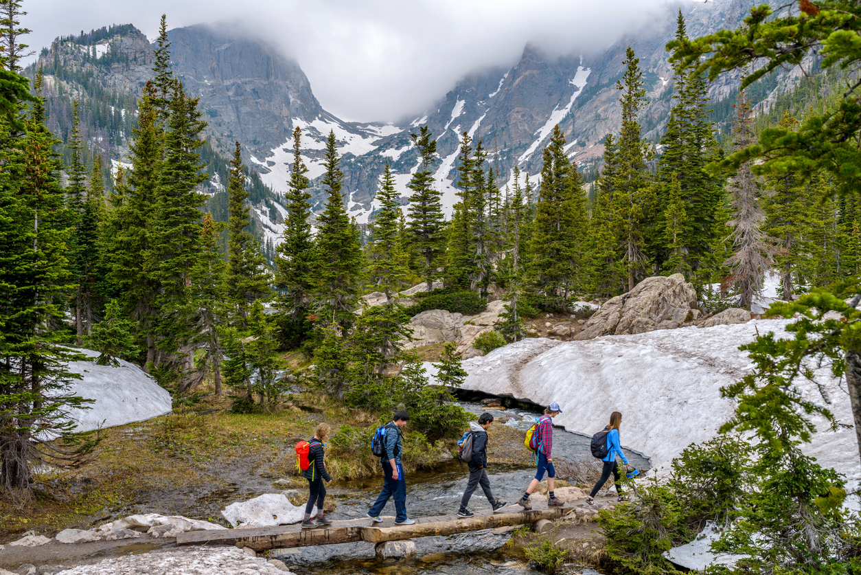
This week’s wave of snow has subsided, making way for a couple sunny days ahead. After that, Colorado’s first spring snowstorm will likely hit.
During this past storm, the deepest snow totals were officially found in Pinecliffe, Colorado, where 21.7 inches of snow fell, according to the Weather.gov snow map. Nederland also reports getting more than 20 inches. It’s likely that even more snow fell at higher elevations.
It’s expected that Saturday and Sunday will be sunny and warm for the most part, statewide, but Monday and Tuesday will likely bring another round of widespread wintery weather.
Not much is certain about this storm right now, but the National Weather Service reports that they expect “a strong late winter/early spring storm somewhere over the Central or Southern Rockies early next week.”
Looks like winter weather might not be fading quite yet, despite Sunday being the first official day of spring.
Looking out to April 8, the National Weather Service forecasts multiple above-norm temperature and below-norm precipitation weeks ahead. It’s looking like this spring is setting up to be a toasty one.
Colorado’s snowpack is currently at 100 percent of the to-date 20-year median. A storm next week will be crucial if Colorado is going to have a shot at landing close to the median 20-year snowpack peak considering the drier weeks ahead. Colorado is currently at 83 percent of this peak, 22 days out from when this peak typically occurs.
Find more information on the National Weather Service website.
STAY INFORMED: Sign-up for the daily OutThere Colorado newsletter here

Get OutThere
Signup today for free and be the first to get notified on new updates.
PREV
PREVIOUS
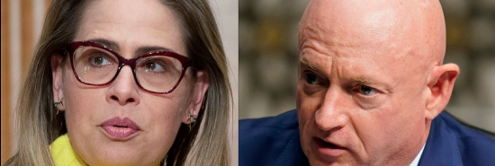
Vulnerable Democrats Sinema and Kelly back pay boost for besieged Border Patrol
Arizona‘s two Democratic senators are backing a bill to boost pay for overworked Border Patrol agents, an effort to distance themselves from the Biden administration’s handling of the migration crisis. Sens. Kyrsten Sinema and Mark Kelly, along with Republican Sens. John Cornyn of Texas and James Lankford of Oklahoma, released a bill late Thursday that […]
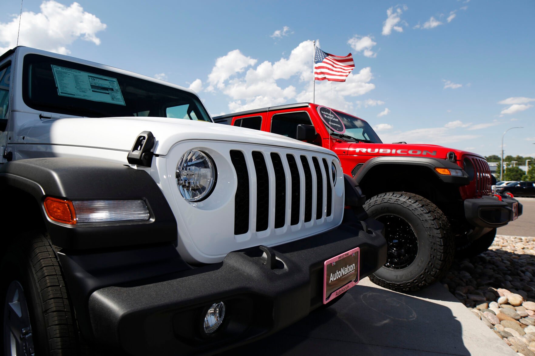
'Duck Duck Jeep' trend rolls into Colorado Springs, spreading smiles with surprise
Jeep owners can be a little wacky. They go out of their way to park next to other Jeeps, even if that makes for a longer walk to the door of the store. They have their own wave. They have those bumper stickers that say, “It’s a Jeep thing, you wouldn’t understand.” This is part […]